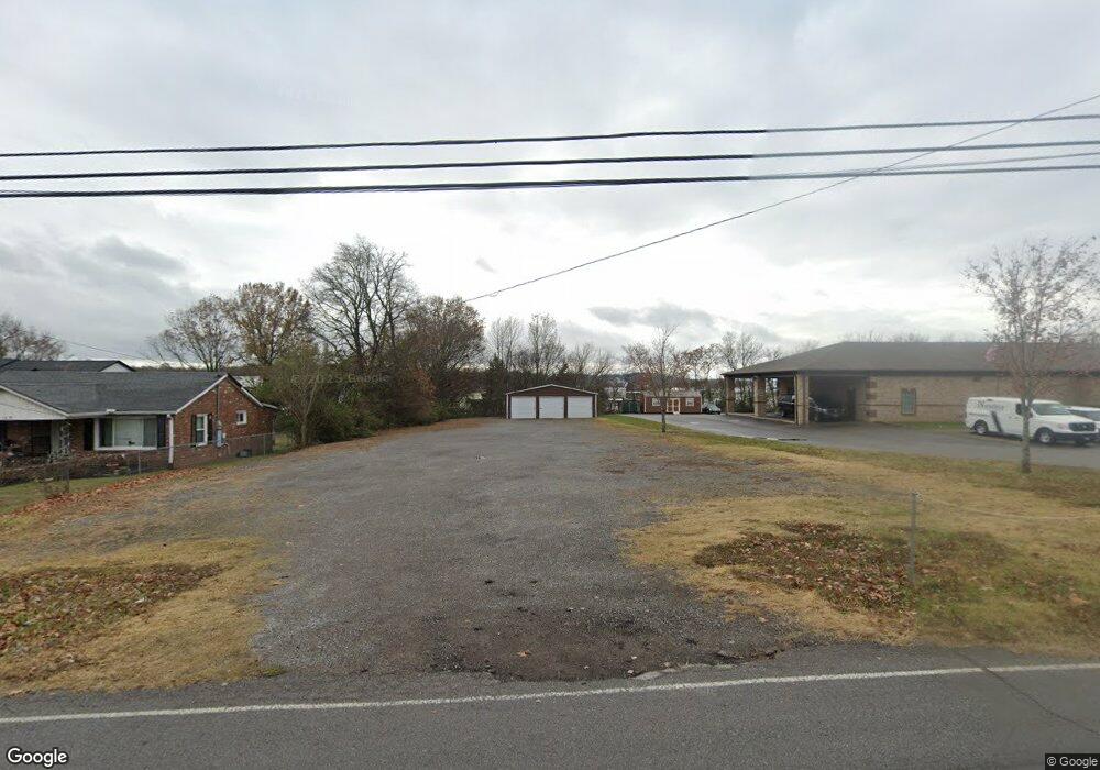
1360 Bluebird Rd Lebanon, TN 37087
Estimated Value: $37,628 - $366,000
--
Bed
1
Bath
936
Sq Ft
$209/Sq Ft
Est. Value
About This Home
This home is located at 1360 Bluebird Rd, Lebanon, TN 37087 and is currently estimated at $195,209, approximately $208 per square foot. 1360 Bluebird Rd is a home located in Wilson County with nearby schools including Sam Houston Elementary School, Walter J. Baird Middle School, and Lebanon High School.
Ownership History
Date
Name
Owned For
Owner Type
Purchase Details
Closed on
Feb 5, 2013
Sold by
Jones William P
Bought by
Spickard Robert and Spickard Cassie
Current Estimated Value
Purchase Details
Closed on
Mar 8, 2011
Sold by
Deason Chance H
Bought by
Jones William P
Purchase Details
Closed on
Dec 28, 2005
Sold by
Monique Bayless Tameka
Bought by
Jacqueline Williams
Purchase Details
Closed on
Dec 9, 2005
Sold by
Pleshetta Neuble Dereathia
Bought by
Bayless Tameka M
Purchase Details
Closed on
Apr 28, 1977
Bought by
Mcgowan Jimmy
Create a Home Valuation Report for This Property
The Home Valuation Report is an in-depth analysis detailing your home's value as well as a comparison with similar homes in the area
Home Values in the Area
Average Home Value in this Area
Purchase History
| Date | Buyer | Sale Price | Title Company |
|---|---|---|---|
| Spickard Robert | $14,000 | -- | |
| Jones William P | -- | -- | |
| Jacqueline Williams | -- | -- | |
| Bayless Tameka M | $9,000 | -- | |
| Mcgowan Jimmy | -- | -- |
Source: Public Records
Tax History Compared to Growth
Tax History
| Year | Tax Paid | Tax Assessment Tax Assessment Total Assessment is a certain percentage of the fair market value that is determined by local assessors to be the total taxable value of land and additions on the property. | Land | Improvement |
|---|---|---|---|---|
| 2024 | $254 | $11,550 | $6,250 | $5,300 |
| 2022 | $138 | $6,250 | $6,250 | $0 |
| 2021 | $138 | $6,250 | $6,250 | $0 |
| 2020 | $63 | $6,250 | $6,250 | $0 |
| 2019 | $63 | $2,200 | $2,200 | $0 |
| 2018 | $63 | $2,200 | $2,200 | $0 |
| 2017 | $63 | $2,200 | $2,200 | $0 |
| 2016 | $63 | $2,200 | $2,200 | $0 |
| 2015 | $57 | $2,200 | $2,200 | $0 |
| 2014 | $57 | $2,204 | $0 | $0 |
Source: Public Records
Map
Nearby Homes
- 234 Draper Ln
- 544 Trousdale Ferry Pike
- 1063 Bluebird Rd
- 651 Trousdale Ferry Pike
- 6019 Hunters Village Dr
- 564 Twyla Dr
- 560 Twyla Dr
- 106 Pekka Dr
- 809 Carthage Hwy
- 628 Bella Ct
- 702 Arabella Dr
- 722 Park Ave
- 717 Peyton Rd
- 530 Park Ave
- 427 Rome Pike
- 217 Mcgregor St
- 510 Watson St
- 0 Sparta Pike Unit RTC2922733
- 508 Watson St
- 213 Owen St
- 1370 Bluebird Rd
- 1410B Bluebird Rd
- 1410 Bluebird Rd
- 1410 Bluebird Rd Unit D
- 1410 Bluebird Rd Unit A
- 1410 Bluebird Rd Unit B
- 1410 Bluebird Rd Unit E
- 1410 Bluebird Rd Unit F
- 1410 Bluebird Rd
- 175 Springfield Drive (Lot175)
- 1373 Bluebird Rd
- 1304 Bluebird Rd
- 1414 Bluebird Rd
- 1323 Bluebird Rd
- 1259 Bluebird Rd
- 1259 Bluebird Rd
- 1259 Bluebird Rd Unit 1259
- 1263 Bluebird Rd Unit 1263
- 1267 Bluebird Rd
- 1267 Bluebird Rd Unit 1267