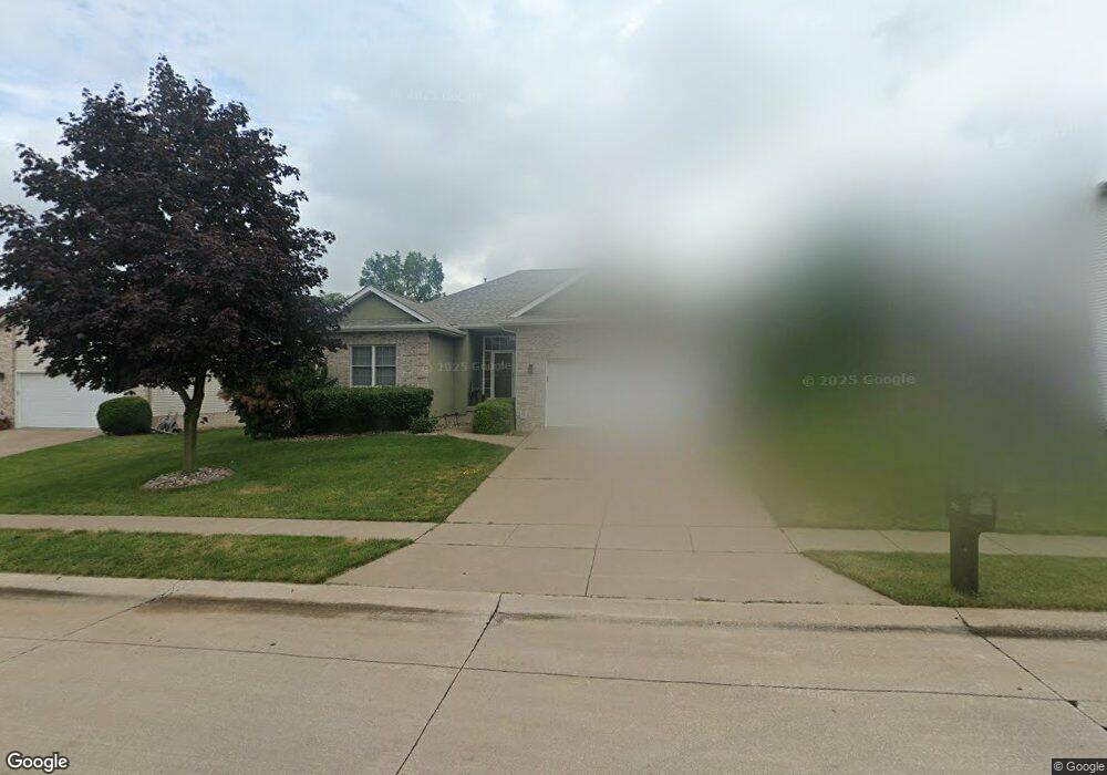
1360 W 52nd St Davenport, IA 52806
North Side NeighborhoodEstimated Value: $333,000 - $354,447
4
Beds
5
Baths
1,628
Sq Ft
$209/Sq Ft
Est. Value
About This Home
This home is located at 1360 W 52nd St, Davenport, IA 52806 and is currently estimated at $340,862, approximately $209 per square foot. 1360 W 52nd St is a home located in Scott County with nearby schools including Harrison Elementary School, Wood Intermediate School, and North High School.
Ownership History
Date
Name
Owned For
Owner Type
Purchase Details
Closed on
Oct 6, 2014
Sold by
Wardlow Jamie L and Wardlow Sheila L
Bought by
Ver Mulm Brent J and Ver Mulm Tracy E
Current Estimated Value
Home Financials for this Owner
Home Financials are based on the most recent Mortgage that was taken out on this home.
Original Mortgage
$176,000
Outstanding Balance
$134,690
Interest Rate
4.13%
Mortgage Type
New Conventional
Estimated Equity
$206,172
Create a Home Valuation Report for This Property
The Home Valuation Report is an in-depth analysis detailing your home's value as well as a comparison with similar homes in the area
Home Values in the Area
Average Home Value in this Area
Purchase History
| Date | Buyer | Sale Price | Title Company |
|---|---|---|---|
| Ver Mulm Brent J | $220,000 | None Available |
Source: Public Records
Mortgage History
| Date | Status | Borrower | Loan Amount |
|---|---|---|---|
| Open | Ver Mulm Brent J | $176,000 |
Source: Public Records
Tax History Compared to Growth
Tax History
| Year | Tax Paid | Tax Assessment Tax Assessment Total Assessment is a certain percentage of the fair market value that is determined by local assessors to be the total taxable value of land and additions on the property. | Land | Improvement |
|---|---|---|---|---|
| 2025 | $5,482 | $340,660 | $46,060 | $294,600 |
| 2024 | $5,346 | $316,950 | $46,060 | $270,890 |
| 2023 | $5,438 | $316,950 | $46,060 | $270,890 |
| 2022 | $5,256 | $263,430 | $36,190 | $227,240 |
| 2021 | $5,256 | $253,870 | $36,190 | $217,680 |
| 2020 | $4,732 | $237,120 | $36,190 | $200,930 |
| 2019 | $4,612 | $214,100 | $36,190 | $177,910 |
| 2018 | $4,510 | $214,100 | $36,190 | $177,910 |
| 2017 | $4,674 | $214,100 | $36,190 | $177,910 |
| 2016 | $4,498 | $214,100 | $0 | $0 |
| 2015 | $4,498 | $203,720 | $0 | $0 |
| 2014 | $4,330 | $203,720 | $0 | $0 |
| 2013 | $4,252 | $0 | $0 | $0 |
| 2012 | -- | $205,790 | $41,620 | $164,170 |
Source: Public Records
Map
Nearby Homes
- 1315 W 52nd Street Ct
- 4730 Willow Cir
- 5516 Quercus Ln
- 4804 Northwest Blvd
- 825 Northbrook Dr
- 4612 Warren St Unit 5
- 5210 N Division St
- 5310 N Division St
- 1729 Welshire Dr
- 5436 N Division St
- 5510 N Division St
- 4405 Royal Oaks Dr
- 5516 N Division St
- 1415 W 59th St
- 4244 Wittman Dr
- 1827 Welshire Dr
- 4311 Wittman Dr
- 803 W 57th St
- 611 Northbrook Dr
- 4023 Lillie Ave Unit 406
- 1408 W 52nd St
- 5202 Taylor St
- 1412 W 52nd St
- 1365 W 52nd St
- 1409 W 52nd St
- 5140 Taylor St
- 5201 Taylor St
- 1420 W 52nd St
- 1415 W 52nd St
- 1425 W 52nd St
- 5130 Taylor St
- 1335 W 52nd Street Ct
- 1328 W 52nd Street Ct
- 1428 W 52nd St
- 1431 W 52nd St
- 5139 Taylor St
- 5145 Fillmore Ct
- 5120 Taylor St
- 1430 W 52nd St
- 1318 W 52nd