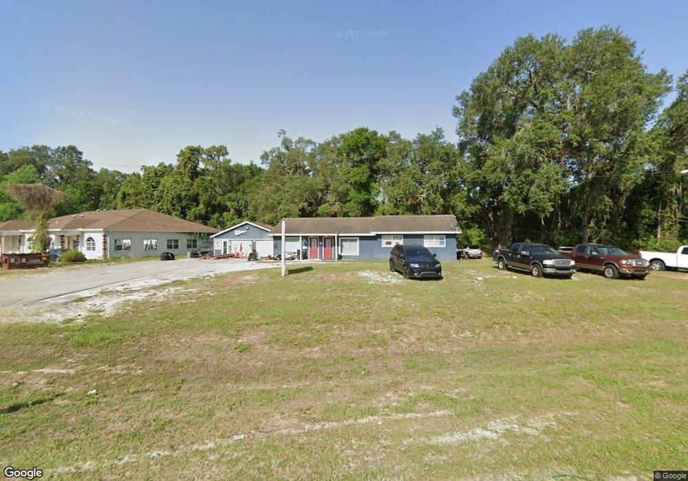
13600 U S 441 Summerfield, FL 34491
Estimated Value: $453,632
--
Bed
3
Baths
2,820
Sq Ft
$161/Sq Ft
Est. Value
About This Home
This home is located at 13600 U S 441, Summerfield, FL 34491 and is currently estimated at $453,632, approximately $160 per square foot. 13600 U S 441 is a home located in Marion County with nearby schools including Belleview Elementary School, Lake Weir Middle School, and Belleview High School.
Ownership History
Date
Name
Owned For
Owner Type
Purchase Details
Closed on
Dec 18, 2023
Sold by
Powell Anthony John and Anthony J And Valerie A Powell Revocable
Bought by
Powell Anthony John and Powell Valerie Ann
Current Estimated Value
Purchase Details
Closed on
Mar 23, 2012
Sold by
Powell Anthony J and Powell Valerie A
Bought by
Powell Anthony J and Powell Valerie A
Purchase Details
Closed on
Jul 3, 2009
Sold by
Laplante Gerry Michael and Laplante Diana
Bought by
Powell Anthony J and Powell Valerie A
Purchase Details
Closed on
Mar 31, 2006
Sold by
Nimmo Thomas E
Bought by
Powell Anthony J and Powell Valerie A
Home Financials for this Owner
Home Financials are based on the most recent Mortgage that was taken out on this home.
Original Mortgage
$147,500
Interest Rate
10%
Mortgage Type
Seller Take Back
Create a Home Valuation Report for This Property
The Home Valuation Report is an in-depth analysis detailing your home's value as well as a comparison with similar homes in the area
Home Values in the Area
Average Home Value in this Area
Purchase History
| Date | Buyer | Sale Price | Title Company |
|---|---|---|---|
| Powell Anthony John | $100 | None Listed On Document | |
| Powell Anthony J | -- | Attorney | |
| Powell Anthony J | -- | None Available | |
| Powell Anthony J | $295,000 | None Available |
Source: Public Records
Mortgage History
| Date | Status | Borrower | Loan Amount |
|---|---|---|---|
| Previous Owner | Powell Anthony J | $147,500 |
Source: Public Records
Tax History Compared to Growth
Tax History
| Year | Tax Paid | Tax Assessment Tax Assessment Total Assessment is a certain percentage of the fair market value that is determined by local assessors to be the total taxable value of land and additions on the property. | Land | Improvement |
|---|---|---|---|---|
| 2024 | $3,494 | $194,798 | -- | -- |
| 2023 | $3,396 | $177,089 | $0 | $0 |
| 2022 | $2,988 | $160,990 | $43,000 | $117,990 |
| 2021 | $2,846 | $146,432 | $37,840 | $108,592 |
| 2020 | $2,848 | $150,952 | $37,840 | $113,112 |
| 2019 | $2,696 | $140,209 | $39,775 | $100,434 |
| 2018 | $2,394 | $127,909 | $39,775 | $88,134 |
| 2017 | $2,432 | $129,879 | $39,775 | $90,104 |
| 2016 | $2,303 | $122,239 | $0 | $0 |
| 2015 | $2,351 | $123,319 | $0 | $0 |
| 2014 | $2,240 | $122,608 | $0 | $0 |
Source: Public Records
Map
Nearby Homes
- 00 Hwy 441 and Se 135th St
- 00 SE 80th Ave
- 13822 SE 85th Cir
- 13828 SE 85th Cir
- 8310 SE 132nd Ln
- 13300 S Us Highway 441
- 13863 SE 85th Cir
- 7685 SE 135th St
- 13430 SE 86th Cir
- 4170 SE 131st Place
- 13864 SE 85th Ct
- 13340 SE 86th Cir
- 8447 SE 137th Loop
- 13121 Us-441 S
- 0 SE 132nd St
- 8642 SE 132nd St
- 8617 SE 141st Street Rd
- 13727 SE 87th Ave
- 13231 SE 86th Cir
- 9029 SE 130th Loop
- 0 Highway 441 Unit G5005508
- 0 Highway 441 Unit G5000848
- 0 Highway 441 Unit G4854495
- 0 Highway 441 Unit G4854493
- 0 Hwy 441 Unit G4841892
- TBD Us Hwy 441 27
- 0 Highway 441 Unit MFRG5079953
- 0 Highway 441 Unit OM500308
- 0 Highway 441 Unit OM423537
- 0 Highway 441 Unit OM417981
- 0 Highway 441 Unit OM396251
- 0 Highway 441 Unit OM381581
- 0 Highway 441 Unit OM314796
- 0 Highway 441 Unit OM305534
- 0 Highway 441 Unit OM303403
- 0 Highway 441 Unit 401094
- 0 Highway 441 Unit 139715
- 0 Highway 441 Unit 407167
- 0 Highway 441 Unit 278977
- 0 Highway 441 Unit 424608