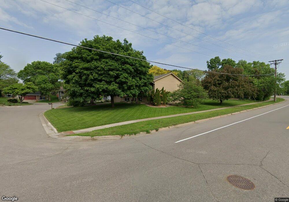
13600 Upton Ave S Burnsville, MN 55337
Estimated Value: $408,000 - $414,323
4
Beds
3
Baths
2,476
Sq Ft
$167/Sq Ft
Est. Value
About This Home
This home is located at 13600 Upton Ave S, Burnsville, MN 55337 and is currently estimated at $412,581, approximately $166 per square foot. 13600 Upton Ave S is a home located in Dakota County with nearby schools including Edward Neill Elementary School, Joseph Nicollet Middle School, and Burnsville High School.
Ownership History
Date
Name
Owned For
Owner Type
Purchase Details
Closed on
Mar 18, 2019
Sold by
Harstad Allen C and Harstad Carol Y
Bought by
Nevel Leah Rose Van and Nevel Lucas Paul Van
Current Estimated Value
Home Financials for this Owner
Home Financials are based on the most recent Mortgage that was taken out on this home.
Original Mortgage
$280,350
Outstanding Balance
$245,973
Interest Rate
4.3%
Mortgage Type
New Conventional
Estimated Equity
$166,608
Create a Home Valuation Report for This Property
The Home Valuation Report is an in-depth analysis detailing your home's value as well as a comparison with similar homes in the area
Home Values in the Area
Average Home Value in this Area
Purchase History
| Date | Buyer | Sale Price | Title Company |
|---|---|---|---|
| Nevel Leah Rose Van | $311,500 | Burnet Title |
Source: Public Records
Mortgage History
| Date | Status | Borrower | Loan Amount |
|---|---|---|---|
| Open | Nevel Leah Rose Van | $280,350 |
Source: Public Records
Tax History Compared to Growth
Tax History
| Year | Tax Paid | Tax Assessment Tax Assessment Total Assessment is a certain percentage of the fair market value that is determined by local assessors to be the total taxable value of land and additions on the property. | Land | Improvement |
|---|---|---|---|---|
| 2024 | $4,020 | $374,100 | $83,900 | $290,200 |
| 2023 | $4,020 | $384,000 | $83,900 | $300,100 |
| 2022 | $3,356 | $381,900 | $83,700 | $298,200 |
| 2021 | $3,350 | $318,600 | $72,800 | $245,800 |
| 2020 | $3,324 | $302,800 | $69,300 | $233,500 |
| 2019 | $3,689 | $290,500 | $66,000 | $224,500 |
| 2018 | $3,317 | $282,000 | $62,900 | $219,100 |
| 2017 | $3,107 | $258,800 | $59,900 | $198,900 |
| 2016 | $3,161 | $237,600 | $57,100 | $180,500 |
| 2015 | $2,893 | $231,800 | $55,400 | $176,400 |
| 2014 | -- | $221,800 | $54,400 | $167,400 |
| 2013 | -- | $204,900 | $49,800 | $155,100 |
Source: Public Records
Map
Nearby Homes
- 2704 W 135th St
- 13817 Thomas Ave S
- 13840 York Ave S
- 13812 Sunset Lake Dr
- 2700 Boulder Dr
- 13208 Upton Ave S
- 2408 Friendship Ln
- 2104 W 140th St
- 13303 Morgan Ave S
- 13717 W Preserve Blvd
- 13100 Thomas Ave S
- 1905 W 140th St
- 2729 Terrace Dr
- 1701 W 138th St
- 4008 W 137th St
- 1725 W 140th St
- 13036 Judicial Rd
- 2708 Williams Dr
- 1200 W 136th St
- 13261 Humboldt Ave S
- 2701 W 135th St
- 2705 W 135th St
- 13612 Upton Ave S
- 2709 W 135th St
- 13606 Upton Ave S
- 13610 Upton Ave S
- 13608 Upton Ave S
- 13615 Vincent Ave S
- 2713 W 135th St
- 2700 W 135th St
- 13616 Upton Ave S
- 13614 Upton Ave S
- 13617 Vincent Ave S
- 13609 Vincent Ave S
- 13618 Upton Ave S
- 2712 W 135th St
- 2717 W 135th St
- 13621 Vincent Ave S
- 13440 Upton Ave S
- 13625 Vincent Ave S