13601 Bluebird Ln Council Bluffs, IA 51503
Estimated Value: $314,000 - $358,059
1
Bed
1
Bath
1,470
Sq Ft
$234/Sq Ft
Est. Value
About This Home
This home is located at 13601 Bluebird Ln, Council Bluffs, IA 51503 and is currently estimated at $343,765, approximately $233 per square foot. 13601 Bluebird Ln is a home located in Pottawattamie County with nearby schools including E.A. Kreft Primary School, Titan Hill Intermediate School, and Lewis Central Middle School.
Ownership History
Date
Name
Owned For
Owner Type
Purchase Details
Closed on
May 10, 2005
Sold by
Bennett Mary Beth and Stamp Mary Beth
Bought by
Robbins Brian J and Glynn Katie E
Current Estimated Value
Home Financials for this Owner
Home Financials are based on the most recent Mortgage that was taken out on this home.
Original Mortgage
$128,800
Outstanding Balance
$101,223
Interest Rate
6.75%
Mortgage Type
New Conventional
Estimated Equity
$242,542
Create a Home Valuation Report for This Property
The Home Valuation Report is an in-depth analysis detailing your home's value as well as a comparison with similar homes in the area
Home Values in the Area
Average Home Value in this Area
Purchase History
| Date | Buyer | Sale Price | Title Company |
|---|---|---|---|
| Robbins Brian J | $161,000 | Security Title Company |
Source: Public Records
Mortgage History
| Date | Status | Borrower | Loan Amount |
|---|---|---|---|
| Open | Robbins Brian J | $128,800 |
Source: Public Records
Tax History Compared to Growth
Tax History
| Year | Tax Paid | Tax Assessment Tax Assessment Total Assessment is a certain percentage of the fair market value that is determined by local assessors to be the total taxable value of land and additions on the property. | Land | Improvement |
|---|---|---|---|---|
| 2025 | $2,808 | $299,000 | $92,600 | $206,400 |
| 2024 | $2,808 | $258,000 | $80,500 | $177,500 |
| 2023 | $2,682 | $258,000 | $80,500 | $177,500 |
| 2022 | $2,504 | $196,300 | $68,200 | $128,100 |
| 2021 | $3,695 | $205,900 | $68,200 | $137,700 |
| 2020 | $2,488 | $183,500 | $59,700 | $123,800 |
| 2019 | $2,308 | $183,500 | $59,700 | $123,800 |
| 2018 | $2,254 | $163,985 | $47,652 | $116,333 |
| 2017 | $2,318 | $163,985 | $47,652 | $116,333 |
| 2015 | $2,296 | $163,985 | $47,652 | $116,333 |
| 2014 | $2,312 | $163,985 | $47,652 | $116,333 |
Source: Public Records
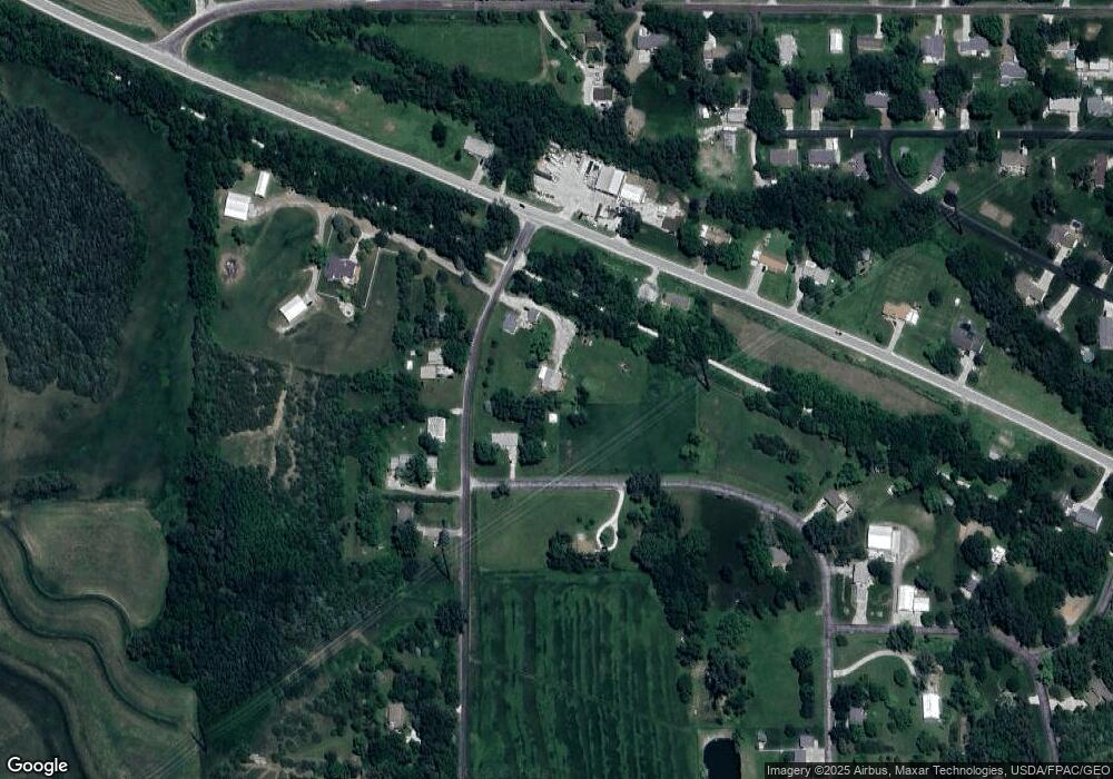
Map
Nearby Homes
- 21823 Chestnut Rd
- LOT 1 -2 Overland Trail
- 22231 Stoneybrook Dr
- 100 Highland Acres Loop
- 21337 Greenview Rd
- 184 Dayan Dr
- 22080 Greenview Rd
- 109 Dorset Ave
- 23267 Highway 92
- 108 Essex Ave
- 20.57 AC. M L State Orchard Rd
- 5021 Providence Rd
- 20425 Greenview Rd
- 15365 Crestview Dr
- 4820 Oneida Cir
- 218 Brent Ln
- 14851 Highland Park Rd
- 21253 Ashwood Ln
- 35.94 Ac M L 192nd St
- LOT 10 Fannin Cir
- 13562 Bluebird Ln
- 1020 Rolling Hills Loop
- 21711 Pioneer Trail
- 21698 Pioneer Trail
- 21636 Pioneer Trail
- 13602 Bluebird Ln
- 21730 Pioneer Trail
- 1075 Rolling Hills Loop
- 13488 Bluebird Ln
- 21760 Pioneer Trail
- 21782 Pioneer Trail
- 21651 Chestnut Rd
- 21777 Green Valley Ave
- 21705 Chestnut Rd
- 21735 Chestnut Rd
- 1141 Rolling Hills Loop
- 21797 Green Valley Ave
- 23000 Chestnut Rd
- 24500 Chestnut Rd
- 0 Chestnut Rd