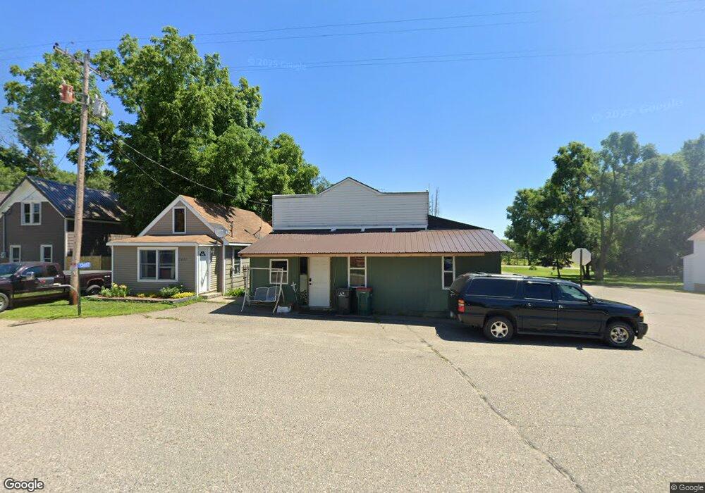
13602 49th Ave South Haven, MN 55382
Estimated Value: $118,000 - $193,000
2
Beds
1
Bath
1,344
Sq Ft
$108/Sq Ft
Est. Value
About This Home
This home is located at 13602 49th Ave, South Haven, MN 55382 and is currently estimated at $145,133, approximately $107 per square foot. 13602 49th Ave is a home located in Stearns County with nearby schools including Kimball Elementary School and Kimball High School.
Ownership History
Date
Name
Owned For
Owner Type
Purchase Details
Closed on
Oct 12, 2021
Sold by
Todd Brandon J
Bought by
Wylie Thomas D
Current Estimated Value
Purchase Details
Closed on
Aug 18, 2017
Sold by
Barthel Brandon E and Burke Kayla
Bought by
Todd Brandon J
Purchase Details
Closed on
Jan 22, 2015
Sold by
Barthel Edward J,Lori A
Bought by
Barthel Brandon E
Purchase Details
Closed on
Sep 16, 2011
Sold by
Duane
Bought by
Gerard William
Purchase Details
Closed on
May 26, 2004
Sold by
Johnson David
Bought by
Moon Duane
Purchase Details
Closed on
Aug 26, 1997
Sold by
Tcf Financial Services Inc
Bought by
Johnson
Purchase Details
Closed on
Aug 14, 1993
Sold by
Rose John
Bought by
Rindahl Michael
Create a Home Valuation Report for This Property
The Home Valuation Report is an in-depth analysis detailing your home's value as well as a comparison with similar homes in the area
Home Values in the Area
Average Home Value in this Area
Purchase History
| Date | Buyer | Sale Price | Title Company |
|---|---|---|---|
| Wylie Thomas D | $92,000 | Misc Company | |
| Todd Brandon J | $65,500 | Northland Title Co | |
| Barthel Brandon E | $39,000 | -- | |
| Gerard William | $92,500 | -- | |
| Moon Duane | $35,000 | -- | |
| Johnson | $12,000 | -- | |
| Rindahl Michael | $27,300 | -- |
Source: Public Records
Tax History Compared to Growth
Tax History
| Year | Tax Paid | Tax Assessment Tax Assessment Total Assessment is a certain percentage of the fair market value that is determined by local assessors to be the total taxable value of land and additions on the property. | Land | Improvement |
|---|---|---|---|---|
| 2025 | $586 | $92,700 | $23,900 | $68,800 |
| 2024 | $586 | $93,200 | $23,900 | $69,300 |
| 2023 | $578 | $91,600 | $23,900 | $67,700 |
| 2022 | $502 | $68,700 | $20,000 | $48,700 |
| 2021 | $546 | $68,700 | $20,000 | $48,700 |
| 2020 | $498 | $68,800 | $20,000 | $48,800 |
| 2019 | $478 | $62,700 | $14,200 | $48,500 |
| 2018 | $382 | $44,800 | $12,100 | $32,700 |
| 2017 | $300 | $34,300 | $10,100 | $24,200 |
| 2016 | $428 | $0 | $0 | $0 |
| 2015 | $412 | $0 | $0 | $0 |
| 2014 | -- | $0 | $0 | $0 |
Source: Public Records
Map
Nearby Homes
- 10848 Porter Ave NW
- 14XXX County Road 44
- 16698 109th St NW
- 10368 Oliver Ave NW
- 10399 Reardon Ave NW
- 13943 102nd St NW
- 13934 101st St NW
- 13496 Campfire Cir
- 8537 Pittman Ave NW
- 2060 Clearwater Forest Dr
- South Tract A TBD County Road 45
- North Tract B TBD County Road 45
- 125 Cedar St SE
- 148 Cedar St SE
- 118 Cedar St SE
- 847 Walnut Ave SE
- 0 80th St NW
- 226 Quill St NE
- 16307 78th Ave
- 451 Linden Ave E
- 13600 49th Ave
- 13564 49th Ave
- 13612 49th Ave
- 13601 49th Ave
- 13603 49th Ave
- 13642 49th Ave
- 13628 49th Ave
- 13601 County Road 7
- 13551 49th Ave
- 13537 49th Ave
- 4921 County Road 44
- 13637 County Road 7
- 13524 49th Ave
- 13637 49th Ave
- 13533 County Road 7
- 13659 49th Ave
- 4984 136th St
- 13527 49th Ave
- 4991 136th St
- 13508 49th Ave