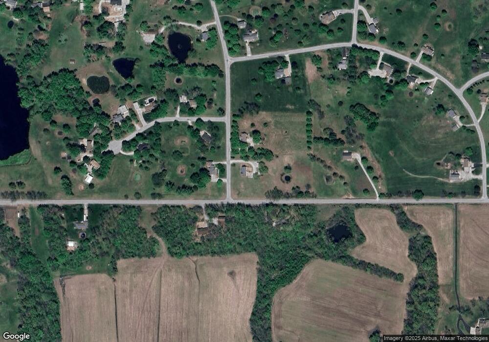
13603 Scottie Dr Kearney, MO 64060
Estimated Value: $423,000 - $476,000
4
Beds
3
Baths
1,522
Sq Ft
$296/Sq Ft
Est. Value
About This Home
This home is located at 13603 Scottie Dr, Kearney, MO 64060 and is currently estimated at $450,412, approximately $295 per square foot. 13603 Scottie Dr is a home located in Clay County with nearby schools including Kearney Junior High School and Kearney High School.
Ownership History
Date
Name
Owned For
Owner Type
Purchase Details
Closed on
Oct 20, 2009
Sold by
Skelton Scott A and Skelton Mallory
Bought by
Skelton Mark A and Skelton Dorothy K
Current Estimated Value
Purchase Details
Closed on
May 2, 2008
Sold by
Galloway Judith J
Bought by
Skelton Scott A and Skelton Mallory
Home Financials for this Owner
Home Financials are based on the most recent Mortgage that was taken out on this home.
Original Mortgage
$140,000
Outstanding Balance
$29,274
Interest Rate
5.84%
Mortgage Type
Purchase Money Mortgage
Estimated Equity
$421,138
Create a Home Valuation Report for This Property
The Home Valuation Report is an in-depth analysis detailing your home's value as well as a comparison with similar homes in the area
Home Values in the Area
Average Home Value in this Area
Purchase History
| Date | Buyer | Sale Price | Title Company |
|---|---|---|---|
| Skelton Mark A | -- | None Available | |
| Skelton Scott A | -- | Missouri Secured Title Kearn |
Source: Public Records
Mortgage History
| Date | Status | Borrower | Loan Amount |
|---|---|---|---|
| Open | Skelton Scott A | $140,000 |
Source: Public Records
Tax History Compared to Growth
Tax History
| Year | Tax Paid | Tax Assessment Tax Assessment Total Assessment is a certain percentage of the fair market value that is determined by local assessors to be the total taxable value of land and additions on the property. | Land | Improvement |
|---|---|---|---|---|
| 2025 | $2,826 | $51,320 | -- | -- |
| 2024 | $2,826 | $44,670 | -- | -- |
| 2023 | $2,816 | $44,670 | $0 | $0 |
| 2022 | $2,615 | $40,170 | $0 | $0 |
| 2021 | $2,559 | $40,166 | $6,840 | $33,326 |
| 2020 | $2,443 | $34,850 | $0 | $0 |
| 2019 | $2,429 | $34,846 | $6,840 | $28,006 |
| 2018 | $2,397 | $33,230 | $0 | $0 |
| 2017 | $1,345 | $33,230 | $6,840 | $26,390 |
| 2016 | $1,345 | $30,100 | $6,840 | $23,260 |
| 2015 | $2,145 | $30,100 | $6,840 | $23,260 |
| 2014 | $2,045 | $28,540 | $6,840 | $21,700 |
Source: Public Records
Map
Nearby Homes
- 13525 Oakridge Dr
- 13413 Oakridge Dr
- 13018 Timberland
- 13216 Vines Rd
- 13424 Vines Rd
- 13402 Oakbrook Dr
- 14309 Plattsburg Rd
- 15915 Plattsburg Rd
- 13020 Jacob Ln
- 15612 NE 140th Terrace
- 0 Tbd 124th St
- 15208 NE 124th St
- 15600 NE 124th St
- 13813 Petty Rd
- 16816 NE 136th St
- 12420 Ridgeview Rd
- 2140 Crooked Creek Dr
- 15817 Plattsburg Rd
- 2101 Crooked Creek Dr
- 400 S Eddie Ave
- 13602 Scottie Dr
- 13610 Scottie Dr
- 14003 NE 136th St
- 13811 NE 136th St
- 13812 Scottie Cir
- 13621 Scottie Cir
- 14001 Rennett Rd
- 14020 NE 136th St
- 13626 Scottie Cir
- 14000 Rennett Rd
- 13624 Scottie Cir
- 13615 Scottie Cir
- 13620 Scottie Cir
- 13618 Scottie Cir
- 13712 Scottie Dr
- 13607 NE 136th St
- 13706 Marie Place
- 14101 Rennett Rd
- 13724 Scottie Dr
- 14215 Rennett Rd
