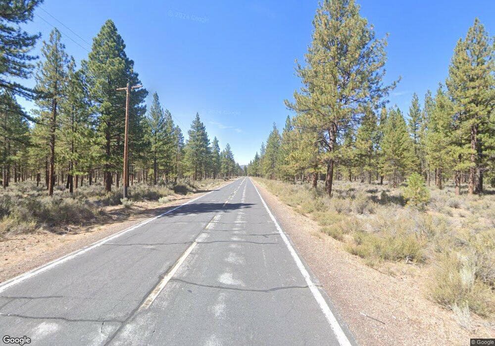
13605 Tennant Rd MacDoel, CA 96058
Estimated Value: $70,000 - $97,034
2
Beds
1
Bath
817
Sq Ft
$103/Sq Ft
Est. Value
About This Home
This home is located at 13605 Tennant Rd, MacDoel, CA 96058 and is currently estimated at $84,009, approximately $102 per square foot. 13605 Tennant Rd is a home located in Siskiyou County with nearby schools including Picard Community Day Elementary School, Butte Valley Elementary & Middle School, and Cascade High School.
Ownership History
Date
Name
Owned For
Owner Type
Purchase Details
Closed on
Nov 7, 2017
Sold by
Rutherford Sandra E
Bought by
Mace Richard and Stewart Stephanie D
Current Estimated Value
Purchase Details
Closed on
May 20, 2005
Sold by
Fami Barnes Sr John David and Fami John David Barnes Sr 1996
Bought by
Rutherford Tom W and Rutherford Sandra E
Home Financials for this Owner
Home Financials are based on the most recent Mortgage that was taken out on this home.
Original Mortgage
$30,000
Interest Rate
5.84%
Mortgage Type
Seller Take Back
Create a Home Valuation Report for This Property
The Home Valuation Report is an in-depth analysis detailing your home's value as well as a comparison with similar homes in the area
Purchase History
| Date | Buyer | Sale Price | Title Company |
|---|---|---|---|
| Mace Richard | $40,000 | Mt Sttar Title & Escrow Co | |
| Rutherford Tom W | $36,000 | Siskiyou County Title Co |
Source: Public Records
Mortgage History
| Date | Status | Borrower | Loan Amount |
|---|---|---|---|
| Previous Owner | Rutherford Tom W | $30,000 |
Source: Public Records
Tax History
| Year | Tax Paid | Tax Assessment Tax Assessment Total Assessment is a certain percentage of the fair market value that is determined by local assessors to be the total taxable value of land and additions on the property. | Land | Improvement |
|---|---|---|---|---|
| 2025 | $695 | $62,576 | $13,651 | $48,925 |
| 2023 | $695 | $60,148 | $13,122 | $47,026 |
| 2022 | $670 | $58,969 | $12,865 | $46,104 |
| 2021 | $659 | $57,813 | $12,613 | $45,200 |
| 2020 | $654 | $57,221 | $12,484 | $44,737 |
| 2019 | $643 | $56,100 | $12,240 | $43,860 |
| 2018 | $631 | $55,000 | $12,000 | $43,000 |
| 2017 | $510 | $43,228 | $12,006 | $31,222 |
| 2016 | $501 | $42,381 | $11,771 | $30,610 |
| 2015 | $495 | $41,746 | $11,595 | $30,151 |
| 2014 | $487 | $40,929 | $11,368 | $29,561 |
Source: Public Records
Map
Nearby Homes
- 13534 Tennant Rd
- 13815 Tennant Rd
- Haight Mountain
- 0 20 Acres Off Technor Robison Rd Unit 20250909
- KEGG Orr Mountain Lookout Rd
- 0 Robison Rd
- XYZ E Davis Rd
- 18801 Leavers Ln
- 1827 W Ball Mountain Little Shasta Rd
- 13330 Homeland Rd
- 0000 Old State Hwy
- Lot 8 Perla Dr Unit Blk 8
- Blk 8 Lot 8 Perla Dr
- Lot 26 Perla Dr
- Lot 25 Perla Dr
- blk7 Lot 4 Turlock Rd
- Lot 8 Turlock Rd Unit 7
- 2-D-19 Widow Springs Dr Unit 2
- 4130 Sheep Mountain Rd
- 3138 Sheep Mountain Rd
- 13609 Tennant Rd
- 13615 Tennant Rd
- 13539 Tennant Rd
- 13606 Willow Ln
- 13610 Willow Ln
- 13617 Tennant Rd
- 13535 Tennant Rd
- 13522 Willow Ln
- 13614 Willow Ln
- 13618 Willow Ln
- 13604 Tennant Rd
- 13608 Tennant Rd
- 13518 Willow Ln
- 13612 Tennant Rd
- 13621 Tennant Rd
- 13531 Tennant Rd
- 13538 Tennant Rd
- 13616 Tennant Rd
- 13514 Willow Ln
- 13622 Willow Ln
