13605 Terrett Trace Unit 111 Austin, TX 78717
Avery Ranch NeighborhoodEstimated Value: $510,000 - $574,000
3
Beds
4
Baths
2,207
Sq Ft
$240/Sq Ft
Est. Value
About This Home
This home is located at 13605 Terrett Trace Unit 111, Austin, TX 78717 and is currently estimated at $529,673, approximately $239 per square foot. 13605 Terrett Trace Unit 111 is a home located in Williamson County with nearby schools including Anderson Mill Elementary School, Pearson Ranch Middle, and McNeil High School.
Ownership History
Date
Name
Owned For
Owner Type
Purchase Details
Closed on
Oct 11, 2024
Sold by
Mehfoud Christopher
Bought by
Vita Point Llc
Current Estimated Value
Purchase Details
Closed on
Oct 2, 2023
Sold by
Roache Elise
Bought by
Mehfoud Christopher
Purchase Details
Closed on
Mar 30, 2021
Sold by
Weekley Homes Llc
Bought by
Mehfoud Christopher
Home Financials for this Owner
Home Financials are based on the most recent Mortgage that was taken out on this home.
Original Mortgage
$440,000
Interest Rate
2.73%
Mortgage Type
New Conventional
Create a Home Valuation Report for This Property
The Home Valuation Report is an in-depth analysis detailing your home's value as well as a comparison with similar homes in the area
Home Values in the Area
Average Home Value in this Area
Purchase History
| Date | Buyer | Sale Price | Title Company |
|---|---|---|---|
| Vita Point Llc | -- | None Listed On Document | |
| Mehfoud Christopher | -- | None Listed On Document | |
| Mehfoud Christopher | -- | Priority Title |
Source: Public Records
Mortgage History
| Date | Status | Borrower | Loan Amount |
|---|---|---|---|
| Previous Owner | Mehfoud Christopher | $440,000 |
Source: Public Records
Tax History
| Year | Tax Paid | Tax Assessment Tax Assessment Total Assessment is a certain percentage of the fair market value that is determined by local assessors to be the total taxable value of land and additions on the property. | Land | Improvement |
|---|---|---|---|---|
| 2025 | $9,346 | $538,125 | $110,738 | $427,387 |
| 2024 | $9,346 | $577,104 | $109,509 | $467,595 |
| 2023 | $8,604 | $543,984 | $88,000 | $455,984 |
| 2022 | $13,307 | $659,698 | $55,000 | $604,698 |
| 2021 | $10,469 | $447,549 | $48,917 | $398,632 |
| 2020 | $657 | $29,045 | $29,045 | $0 |
| 2019 | $685 | $29,398 | $29,398 | $0 |
Source: Public Records
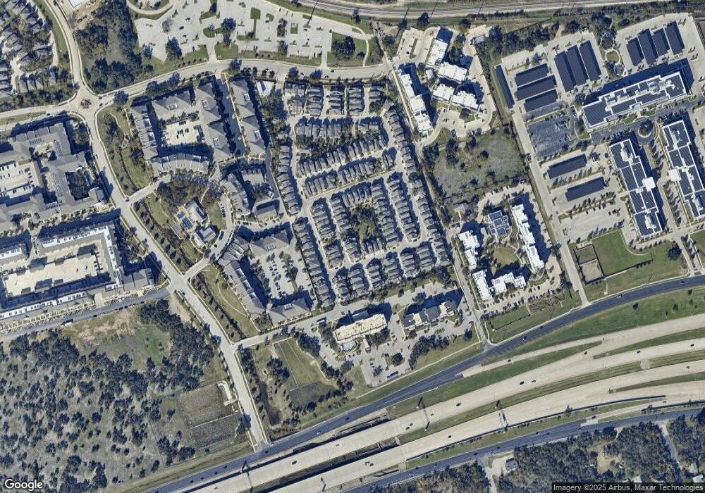
Map
Nearby Homes
- 13501 Cibolo Trace Unit 180
- 10502 Turnbull Loop Unit 41
- 13505 Broadmeade Ave
- 13506 Paddington Cir
- 9803 Quilberry Dr
- 13420 Lyndhurst St Unit 401, 408, 303
- 13420 Lyndhurst St Unit 208
- 13420 Lyndhurst St Unit 806
- 13420 Lyndhurst St Unit 807
- 13800 Lyndhurst St Unit 326
- 13800 Lyndhurst St Unit 221
- 13800 Lyndhurst St Unit 324
- 13800 Lyndhurst St Unit 325
- 14000 Alloro Dr Unit 46W
- 9807 Quercia Dr
- 13604 Avery Trestle Ln Unit 17
- 13215 Woodthorpe St
- 14009 Eucalyptus Bend
- 13210 Woodthorpe St
- 14201 Montour Dr
- 13605 Terrett Trace
- 13603 Terrett Trace
- 13601 Terrett Trace Unit 113
- 13601 Terrett Trace
- 13609 Terrett Trace Unit 109
- 13602 Terrett Trace Unit 102
- 13604 Terrett Trace
- 13611 Terrett Trace Unit 108
- 13608 Terrett Trace
- 13600 Terrett Trace
- 13507 Ringold Cove Unit 169
- 13612 Terrett Trace
- 13615 Terrett Trace Unit 106
- 13615 Terrett Trace
- 13600 Cibolo Trace Unit 90
- 13614 Terrett Trace Unit 97
- 13502 Ringold Cove Unit 174
- 13617 Terrett Trace
- 13608 Cibolo Trace Unit 86
- 13506 Martin Scott Cove Unit 168
Your Personal Tour Guide
Ask me questions while you tour the home.