Estimated Value: $865,692 - $941,000
4
Beds
2
Baths
1,288
Sq Ft
$705/Sq Ft
Est. Value
About This Home
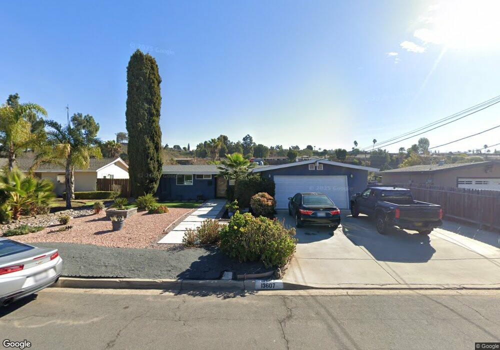
This home is located at 13607 Powers Rd, Poway, CA 92064 and is currently estimated at $908,173, approximately $705 per square foot. 13607 Powers Rd is a home located in San Diego County with nearby schools including Pomerado Elementary, Meadowbrook Middle, and Poway High.
Ownership History
Date
Name
Owned For
Owner Type
Purchase Details
Closed on
Feb 20, 1998
Sold by
Flohs Corey B and Flohs Alicia S
Bought by
Lipkin Larry H and Lipkin Sherry L
Current Estimated Value
Home Financials for this Owner
Home Financials are based on the most recent Mortgage that was taken out on this home.
Original Mortgage
$163,448
Interest Rate
7.18%
Purchase Details
Closed on
Jul 30, 1992
Purchase Details
Closed on
Sep 7, 1989
Create a Home Valuation Report for This Property
The Home Valuation Report is an in-depth analysis detailing your home's value as well as a comparison with similar homes in the area
Home Values in the Area
Average Home Value in this Area
Purchase History
| Date | Buyer | Sale Price | Title Company |
|---|---|---|---|
| Lipkin Larry H | $167,500 | Chicago Title Co | |
| -- | $153,800 | -- | |
| -- | $149,500 | -- |
Source: Public Records
Mortgage History
| Date | Status | Borrower | Loan Amount |
|---|---|---|---|
| Previous Owner | Lipkin Larry H | $163,448 |
Source: Public Records
Tax History
| Year | Tax Paid | Tax Assessment Tax Assessment Total Assessment is a certain percentage of the fair market value that is determined by local assessors to be the total taxable value of land and additions on the property. | Land | Improvement |
|---|---|---|---|---|
| 2025 | $7,702 | $267,002 | $136,715 | $130,287 |
| 2024 | $7,702 | $261,768 | $134,035 | $127,733 |
| 2023 | $7,639 | $256,636 | $131,407 | $125,229 |
| 2022 | $7,590 | $251,605 | $128,831 | $122,774 |
| 2021 | $7,553 | $246,672 | $126,305 | $120,367 |
| 2020 | $7,470 | $244,143 | $125,010 | $119,133 |
| 2019 | $7,399 | $239,357 | $122,559 | $116,798 |
| 2018 | $7,319 | $234,664 | $120,156 | $114,508 |
| 2017 | $7,229 | $230,063 | $117,800 | $112,263 |
| 2016 | $2,500 | $225,553 | $115,491 | $110,062 |
| 2015 | $2,463 | $222,166 | $113,757 | $108,409 |
| 2014 | $2,405 | $217,815 | $111,529 | $106,286 |
Source: Public Records
Map
Nearby Homes
- 13442 Mountainside Dr
- 13824 Powers Rd
- 12614 Orohaven Ln
- 12450 Robison Blvd
- 13254 Powers Ct
- 12739 Papago Dr
- 12719 Robison Blvd Unit 18
- 13641 Carriage Rd
- 12851 Papago Dr
- 12311 Witt Rd
- 12939 Cree Ct
- 12741 Liberty Way
- 12953 Carriage Rd
- 12665 Oak Knoll Rd
- 12701 Oak Knoll Rd
- 14109 Arbolitos Dr
- 12709 Oak Knoll Rd
- 0 Dorathea Terrace
- 1/2 Poway Rd
- 13056 Poway Rd
- 13613 Powers Rd
- 13533 Powers Rd
- 13608 Frame Rd
- 13614 Frame Rd
- 13534 Frame Rd
- 13619 Powers Rd
- 13527 Powers Rd
- 13606 Powers Rd
- 13532 Powers Rd
- 13612 Powers Rd
- 13620 Frame Rd
- 13528 Frame Rd
- 13625 Powers Rd
- 13521 Powers Rd
- 13618 Powers Rd
- 13526 Powers Rd
- 13626 Frame Rd
- 13522 Frame Rd
- 13624 Powers Rd
- 13520 Powers Rd
Your Personal Tour Guide
Ask me questions while you tour the home.