1361 Mae Collins Rd Morristown, TN 37813
Estimated Value: $169,000 - $208,000
3
Beds
2
Baths
1,344
Sq Ft
$140/Sq Ft
Est. Value
About This Home
This home is located at 1361 Mae Collins Rd, Morristown, TN 37813 and is currently estimated at $188,000, approximately $139 per square foot. 1361 Mae Collins Rd is a home with nearby schools including Witt Elementary School, Lincoln Heights Middle School, and Morristown West High School.
Ownership History
Date
Name
Owned For
Owner Type
Purchase Details
Closed on
Dec 21, 1990
Bought by
Holt Jack B
Current Estimated Value
Purchase Details
Closed on
Jan 13, 1988
Bought by
Webb Richard and Webb Ethel
Purchase Details
Closed on
Nov 30, 1987
Bought by
Greene Elmer and Greene Helen
Purchase Details
Closed on
Jun 28, 1985
Bought by
Greene Charles and Greene Anna
Purchase Details
Closed on
May 14, 1979
Bought by
Greene Elmer and Greene Helen
Create a Home Valuation Report for This Property
The Home Valuation Report is an in-depth analysis detailing your home's value as well as a comparison with similar homes in the area
Home Values in the Area
Average Home Value in this Area
Purchase History
| Date | Buyer | Sale Price | Title Company |
|---|---|---|---|
| Holt Jack B | -- | -- | |
| Webb Richard | $12,500 | -- | |
| Greene Elmer | $5,000 | -- | |
| Greene Charles | -- | -- | |
| Greene Elmer | -- | -- |
Source: Public Records
Tax History Compared to Growth
Tax History
| Year | Tax Paid | Tax Assessment Tax Assessment Total Assessment is a certain percentage of the fair market value that is determined by local assessors to be the total taxable value of land and additions on the property. | Land | Improvement |
|---|---|---|---|---|
| 2024 | $427 | $21,650 | $4,200 | $17,450 |
| 2023 | $427 | $21,650 | $0 | $0 |
| 2022 | $427 | $21,650 | $4,200 | $17,450 |
| 2021 | $154 | $21,650 | $4,200 | $17,450 |
| 2020 | $154 | $7,800 | $5,960 | $1,840 |
| 2019 | $132 | $6,200 | $4,880 | $1,320 |
| 2018 | $132 | $6,200 | $4,880 | $1,320 |
| 2017 | $132 | $6,200 | $4,880 | $1,320 |
| 2016 | $123 | $6,200 | $4,880 | $1,320 |
| 2015 | $115 | $6,200 | $4,880 | $1,320 |
| 2014 | -- | $6,200 | $4,880 | $1,320 |
| 2013 | -- | $7,560 | $0 | $0 |
Source: Public Records
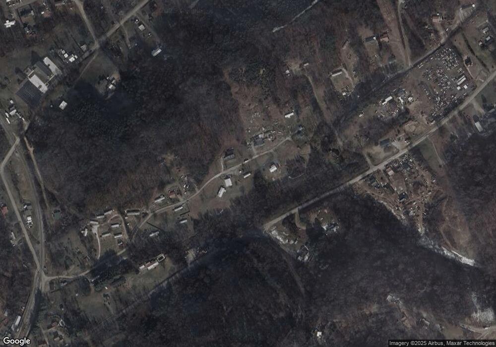
Map
Nearby Homes
- 1418 Mae Collins Rd
- 1160 Statem Gap Rd
- 453 Statem Gap Rd
- 305-365 Barkley Landing Dr
- 203 Lincoln Ave
- 2018 Southwood Cir
- Darwin Plan at Southwood
- Robie Plan at Southwood
- Elston Plan at Southwood
- Belhaven Plan at Southwood
- Penwell Plan at Southwood
- Cali Plan at Southwood
- 1049 Greenway Dr
- 1500 S Davy Crockett Pkwy
- 731 Lennie Ave
- 837 Pauline Ave
- 1621 S Cumberland St
- 3520 Sublett Rd
- 323 Pauline Ave
- 108 Annie Ln
- 1362 Mae Collins Rd
- 1375 Mae Collins Rd
- 1332 Mae Collins Rd
- 1280 Statem Gap Rd
- 1331 Mae Collins Rd
- 1382 Mae Collins Rd
- 1376 Mae Collins Rd
- 1282 Sawyers Rd
- 1390 Pine Brooke Rd
- 1380 Mae Collins Rd
- 1395 Mae Collins Rd
- 1295 Sawyers Rd
- 1186 Sawyers Rd
- 1005 Pine Brooke Rd
- 1400 Pine Brooke Rd
- 1287 Sawyers Rd
- 940 Pine Brooke Rd
- 987 Pine Brooke Rd
- 1183 Sawyers Rd
- 2099 Sulphur Springs Rd