Estimated Value: $164,502 - $298,000
Studio
2
Baths
2,961
Sq Ft
$73/Sq Ft
Est. Value
About This Home
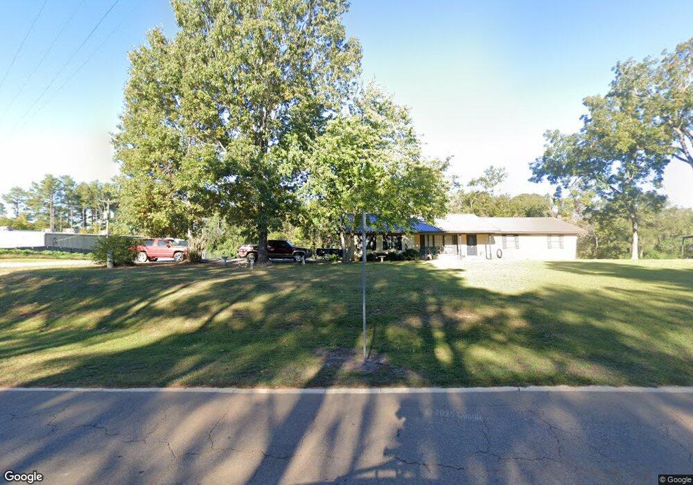
This home is located at 13611 Highway 492 E, Union, MS 39365 and is currently estimated at $217,376, approximately $73 per square foot. 13611 Highway 492 E is a home located in Neshoba County.
Ownership History
Date
Name
Owned For
Owner Type
Purchase Details
Closed on
Oct 8, 2019
Sold by
Page Timothy B and Page Kristen Hope
Bought by
Stovall Matthew Kyle
Current Estimated Value
Home Financials for this Owner
Home Financials are based on the most recent Mortgage that was taken out on this home.
Original Mortgage
$125,190
Outstanding Balance
$109,430
Interest Rate
3.5%
Mortgage Type
Unknown
Estimated Equity
$107,946
Purchase Details
Closed on
Dec 4, 2009
Sold by
Posey Page Robert Timothy and Posey Page Rita
Bought by
Furr Jamie and Peebles Ginger P
Home Financials for this Owner
Home Financials are based on the most recent Mortgage that was taken out on this home.
Original Mortgage
$85,763
Interest Rate
4.92%
Create a Home Valuation Report for This Property
The Home Valuation Report is an in-depth analysis detailing your home's value as well as a comparison with similar homes in the area
Purchase History
| Date | Buyer | Sale Price | Title Company |
|---|---|---|---|
| Stovall Matthew Kyle | -- | -- | |
| Furr Jamie | -- | -- |
Source: Public Records
Mortgage History
| Date | Status | Borrower | Loan Amount |
|---|---|---|---|
| Open | Stovall Matthew Kyle | $125,190 | |
| Previous Owner | Furr Jamie | $85,763 |
Source: Public Records
Tax History
| Year | Tax Paid | Tax Assessment Tax Assessment Total Assessment is a certain percentage of the fair market value that is determined by local assessors to be the total taxable value of land and additions on the property. | Land | Improvement |
|---|---|---|---|---|
| 2025 | $995 | $12,311 | $0 | $0 |
| 2024 | $1,022 | $12,301 | $0 | $0 |
| 2023 | $913 | $10,957 | $0 | $0 |
| 2022 | $913 | $10,957 | $0 | $0 |
| 2021 | $916 | $10,957 | $0 | $0 |
| 2020 | $893 | $10,957 | $0 | $0 |
| 2019 | $1,722 | $15,750 | $0 | $0 |
| 2018 | $1,722 | $15,750 | $0 | $0 |
| 2017 | $1,690 | $15,750 | $0 | $0 |
| 2016 | $1,690 | $15,690 | $0 | $0 |
| 2015 | -- | $11,038 | $0 | $0 |
| 2014 | -- | $11,038 | $0 | $0 |
Source: Public Records
Map
Nearby Homes
- 10470 Road 2238
- 10300 Road 286
- 10020 Road 523
- 11211 Road 723
- 4188 Greenland Rd
- 12061 Highway 21 S
- 4 County Road 444
- 1 County Road 444
- 000 Greenland Rd
- Battlefield Road Mt Pleasant Church Rd
- 1421 Chesney Town Rd
- 14030 Road 505
- 11610 Road 452
- 0 Mississippi 15
- 3 County Road 347
- 2 County Road 347
- 702 E Jackson Rd
- 704 E Jackson Rd
- 0 Mississippi 494
- 201 5th St
- 13631 Highway 492 E
- 10331 Road 298
- 470 Myrtle St E
- 10021 Rd 717
- 10031 Road 1705
- 13471 Highway 492 E
- 13460 Highway 492 E
- 10141 Road 717
- 10160 Road 2238
- 13401 Highway 492 E
- 10061 Road 298
- 12360 Highway 19 S
- 13381 Highway 492 E
- 13370 Highway 492 E
- 10211 Road 717
- 12381 Highway 19 S
- 12331 Highway 19 S
- 13311 Highway 492 E
- 12841 Highway 19 S
- 12851 Highway 19 S
Your Personal Tour Guide
Ask me questions while you tour the home.