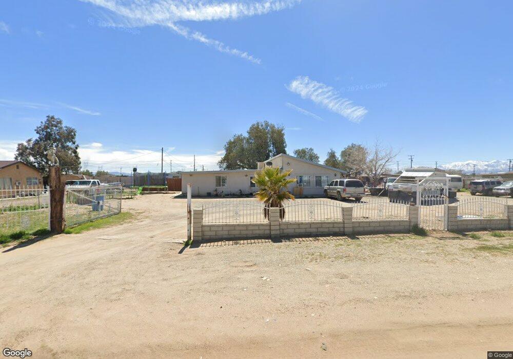
13615 Aster Rd Unit 4 Victorville, CA 92392
Mesa Linda Neighborhood
3
Beds
2
Baths
1,300
Sq Ft
0.76
Acres
About This Home
This home is located at 13615 Aster Rd Unit 4, Victorville, CA 92392. 13615 Aster Rd Unit 4 is a home located in San Bernardino County with nearby schools including Brentwood Elementary School, Village Elementary School, and Challenger School Of Sports And Fitness.
Ownership History
Date
Name
Owned For
Owner Type
Purchase Details
Closed on
Jul 18, 2018
Sold by
Rivera Samuel
Bought by
Urrutia Maritza Ventura and Urrutia Diana Ventura
Home Financials for this Owner
Home Financials are based on the most recent Mortgage that was taken out on this home.
Original Mortgage
$213,400
Outstanding Balance
$184,555
Interest Rate
4.5%
Mortgage Type
New Conventional
Purchase Details
Closed on
Oct 29, 2002
Sold by
Ciarrocchi Roger N
Bought by
Rivera Samuel
Home Financials for this Owner
Home Financials are based on the most recent Mortgage that was taken out on this home.
Original Mortgage
$60,000
Interest Rate
5.95%
Purchase Details
Closed on
Oct 1, 1999
Sold by
Bond Ethel I Tr
Bought by
Grasslands Inc Usa
Create a Home Valuation Report for This Property
The Home Valuation Report is an in-depth analysis detailing your home's value as well as a comparison with similar homes in the area
Home Values in the Area
Average Home Value in this Area
Purchase History
| Date | Buyer | Sale Price | Title Company |
|---|---|---|---|
| Urrutia Maritza Ventura | $228,000 | Fidelity National Title Ie | |
| Rivera Samuel | $21,500 | First American | |
| Grasslands Inc Usa | -- | Chicago Title Co |
Source: Public Records
Mortgage History
| Date | Status | Borrower | Loan Amount |
|---|---|---|---|
| Open | Urrutia Maritza Ventura | $213,400 | |
| Previous Owner | Rivera Samuel | $60,000 |
Source: Public Records
Tax History Compared to Growth
Tax History
| Year | Tax Paid | Tax Assessment Tax Assessment Total Assessment is a certain percentage of the fair market value that is determined by local assessors to be the total taxable value of land and additions on the property. | Land | Improvement |
|---|---|---|---|---|
| 2025 | $3,241 | $254,339 | $50,868 | $203,471 |
| 2024 | $3,241 | $249,352 | $49,871 | $199,481 |
| 2023 | $3,210 | $244,463 | $48,893 | $195,570 |
| 2022 | $3,158 | $239,669 | $47,934 | $191,735 |
| 2021 | $3,102 | $234,969 | $46,994 | $187,975 |
| 2020 | $3,047 | $232,560 | $46,512 | $186,048 |
| 2019 | $3,001 | $228,000 | $45,600 | $182,400 |
| 2018 | $1,259 | $89,103 | $15,146 | $73,957 |
| 2017 | $1,234 | $87,356 | $14,849 | $72,507 |
| 2016 | $1,211 | $85,643 | $14,558 | $71,085 |
| 2015 | -- | $84,356 | $14,339 | $70,017 |
| 2014 | $1,146 | $82,703 | $14,058 | $68,645 |
Source: Public Records
Map
Nearby Homes
- 13476 Palmdale Rd
- 13509 Seneca Rd
- 0 Amethyst Rd Unit HD25137306
- 0 Amethyst Rd Unit CV22260994
- 0 Amethyst Rd Unit HD23185248
- 0 Brucite Rd Unit HD24249241
- 0 Cholame Rd Unit HD24010462
- 0 Cholame Rd Unit OC25089796
- 13222 Aster Rd
- 13185 Aster Rd
- 13970 Bonanza Rd
- 13720 Dove Ct
- 13182 Begonia Rd
- 13995 Bonanza Rd
- 14031 Horseshoe Way
- 14766 Shetland Ct
- 13784 Obispo Way
- 13971 Clydesdale Run Ln
- 14577 Crossing Trail
- 13590 Fox Point Rd
- 13615 Aster Rd
- 13645 Aster Rd
- 13595 Aster Rd
- 13620 Aster Rd
- 13590 Aster Rd
- 13634 Aster Rd
- 13665 Aster Rd
- 13660 Aster Rd
- 13570 Aster Rd
- 14176 Amethyst Rd
- 0 Sec 22 Twp 5n Rng 5w Brief Description: E 1 2 Sw 1
- 14175 Brucite Rd
- 13590 Palmdale Rd
- 13546 Aster Rd
- 14226 Amethyst Rd
- 14229 Brucite Rd
- 14201 Amethyst Rd
- 14247 Brucite Rd
- 13661 Begonia Rd
- 13645 Begonia Rd