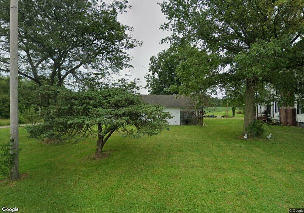
13617 Diagonal Rd Lagrange, OH 44050
Estimated Value: $205,226 - $294,000
3
Beds
1
Bath
1,456
Sq Ft
$167/Sq Ft
Est. Value
About This Home
This home is located at 13617 Diagonal Rd, Lagrange, OH 44050 and is currently estimated at $243,807, approximately $167 per square foot. 13617 Diagonal Rd is a home located in Lorain County with nearby schools including Keystone Elementary School, Keystone Middle School, and Keystone High School.
Ownership History
Date
Name
Owned For
Owner Type
Purchase Details
Closed on
Aug 16, 2007
Sold by
Kokoski Carl J and Kokoski Jeannie V
Bought by
Mcavoy Jennings E
Current Estimated Value
Home Financials for this Owner
Home Financials are based on the most recent Mortgage that was taken out on this home.
Original Mortgage
$100,000
Outstanding Balance
$63,412
Interest Rate
6.69%
Mortgage Type
Purchase Money Mortgage
Estimated Equity
$180,395
Purchase Details
Closed on
Apr 23, 2007
Sold by
Kokoski Carl J and Kokoski Jeannie V
Bought by
Kokoski Carl J and Kokoski Jeannie
Purchase Details
Closed on
Aug 15, 2006
Sold by
Horvath David Edward and Horvath Diana S
Bought by
Koxoski Carl J and Kokoski Jeannie
Home Financials for this Owner
Home Financials are based on the most recent Mortgage that was taken out on this home.
Original Mortgage
$170,000
Interest Rate
6.83%
Mortgage Type
Purchase Money Mortgage
Create a Home Valuation Report for This Property
The Home Valuation Report is an in-depth analysis detailing your home's value as well as a comparison with similar homes in the area
Purchase History
| Date | Buyer | Sale Price | Title Company |
|---|---|---|---|
| Mcavoy Jennings E | $140,000 | Old Republic Title | |
| Kokoski Carl J | -- | Attorney | |
| Koxoski Carl J | $300,000 | Elyria Land Title |
Source: Public Records
Mortgage History
| Date | Status | Borrower | Loan Amount |
|---|---|---|---|
| Open | Mcavoy Jennings E | $100,000 | |
| Previous Owner | Koxoski Carl J | $170,000 |
Source: Public Records
Tax History
| Year | Tax Paid | Tax Assessment Tax Assessment Total Assessment is a certain percentage of the fair market value that is determined by local assessors to be the total taxable value of land and additions on the property. | Land | Improvement |
|---|---|---|---|---|
| 2024 | $1,954 | $57,474 | $16,685 | $40,789 |
| 2023 | $2,042 | $50,316 | $16,209 | $34,108 |
| 2022 | $2,047 | $50,316 | $16,209 | $34,108 |
| 2021 | $2,046 | $50,316 | $16,209 | $34,108 |
| 2020 | $2,065 | $46,760 | $15,060 | $31,700 |
| 2019 | $2,051 | $46,760 | $15,060 | $31,700 |
| 2018 | $1,806 | $46,760 | $15,060 | $31,700 |
| 2017 | $1,552 | $35,320 | $15,080 | $20,240 |
| 2016 | $2,032 | $35,320 | $15,080 | $20,240 |
| 2015 | $1,998 | $35,320 | $15,080 | $20,240 |
| 2014 | $1,736 | $35,320 | $15,080 | $20,240 |
| 2013 | $1,658 | $35,320 | $15,080 | $20,240 |
Source: Public Records
Map
Nearby Homes
- 41341 Ravines Edge Way
- 40175 Banks Rd
- 40163 Banks Rd
- 441 E College St
- 340 Granger Dr
- 187 Shipherd Cir
- 12380 Oberlin Rd
- 95 Shipherd Cir
- 13301 Indian Hollow Rd
- 808 Buckingham Dr
- 800 Buckingham Dr
- 801 Willich Ct
- 548 William St
- 516 Appomattox Ct
- 182 E Hamilton St
- 0 S Park St
- 168 E Hamilton St
- 317 Church St
- 40000 Myrtle Ct
- 305 W Main St
- 13645 Diagonal Rd
- 13675 Diagonal Rd
- 13516 Diagonal Rd
- 13700 Diagonal Rd
- 13521 Diagonal Rd
- 13721 Diagonal Rd
- 13735 Diagonal Rd
- 13736 Diagonal Rd
- 13495 Diagonal Rd
- 13783 Diagonal Rd
- 13801 Diagonal Rd
- 13851 Diagonal Rd
- 13453 Diagonal Rd
- 13404 Diagonal Rd
- 13893 Diagonal Rd
- 13935 Diagonal Rd
- 13445 Diagonal Rd
- 13941 Diagonal Rd
- 13951 Diagonal Rd
- 13957 Diagonal Rd
Your Personal Tour Guide
Ask me questions while you tour the home.