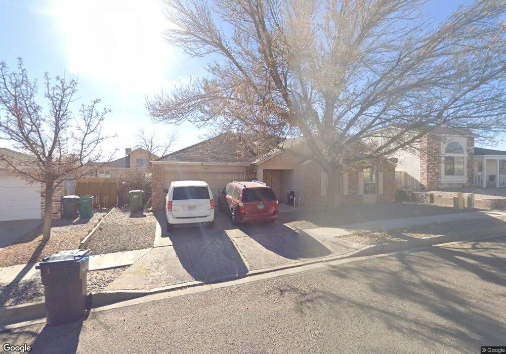
1362 Fireweed Dr NE Rio Rancho, NM 87144
North Hills NeighborhoodEstimated Value: $290,000 - $311,000
4
Beds
2
Baths
1,480
Sq Ft
$203/Sq Ft
Est. Value
About This Home
This home is located at 1362 Fireweed Dr NE, Rio Rancho, NM 87144 and is currently estimated at $299,881, approximately $202 per square foot. 1362 Fireweed Dr NE is a home located in Sandoval County with nearby schools including Colinas del Norte Elementary School, Eagle Ridge Middle School, and Cleveland High School.
Ownership History
Date
Name
Owned For
Owner Type
Purchase Details
Closed on
May 28, 2003
Sold by
Steve Chacon and Steve Gretchen M
Bought by
Coffman Yvonne K and Coffman Jessica R
Current Estimated Value
Home Financials for this Owner
Home Financials are based on the most recent Mortgage that was taken out on this home.
Original Mortgage
$107,900
Outstanding Balance
$47,574
Interest Rate
5.87%
Mortgage Type
FHA
Estimated Equity
$252,307
Create a Home Valuation Report for This Property
The Home Valuation Report is an in-depth analysis detailing your home's value as well as a comparison with similar homes in the area
Home Values in the Area
Average Home Value in this Area
Purchase History
| Date | Buyer | Sale Price | Title Company |
|---|---|---|---|
| Coffman Yvonne K | $108,979 | Us Title |
Source: Public Records
Mortgage History
| Date | Status | Borrower | Loan Amount |
|---|---|---|---|
| Open | Coffman Yvonne K | $107,900 |
Source: Public Records
Tax History Compared to Growth
Tax History
| Year | Tax Paid | Tax Assessment Tax Assessment Total Assessment is a certain percentage of the fair market value that is determined by local assessors to be the total taxable value of land and additions on the property. | Land | Improvement |
|---|---|---|---|---|
| 2025 | $1,614 | $46,120 | $7,720 | $38,400 |
| 2024 | $1,589 | $44,777 | $7,497 | $37,280 |
| 2023 | $1,589 | $43,472 | $7,294 | $36,178 |
| 2022 | $1,543 | $42,207 | $7,109 | $35,098 |
| 2021 | $1,531 | $40,977 | $6,910 | $34,067 |
| 2020 | $1,486 | $39,784 | $0 | $0 |
| 2019 | $1,453 | $38,625 | $0 | $0 |
| 2018 | $1,327 | $37,500 | $0 | $0 |
| 2017 | $1,310 | $37,500 | $0 | $0 |
| 2016 | $1,497 | $38,245 | $0 | $0 |
| 2014 | $1,440 | $38,082 | $0 | $0 |
| 2013 | -- | $38,082 | $7,285 | $30,797 |
Source: Public Records
Map
Nearby Homes
- 1413 Alder Dr NE
- 1332 Elkslip Dr NE
- 1340 Bellflower Dr NE
- 1800 Blueberry Dr NE
- 1752 Blueberry Dr NE
- 1756 Ira Dr NE
- 500 Cherry Rd NE
- 1397 Lil Ave NE
- 621 Cherry Rd NE
- 1376 Lil Ave NE
- 1509 Oleander (U12 B76 L93) Ct NE
- 1820 Lee Loop NE
- 1653 Perma Dr NE
- 1730 Tramview Ct NE
- 2111 Dawson (U12 B11 L14) Dr NE
- 0 Acorn Loop NE
- 1645 Hollyberry Dr NE
- 917 20th Ave NE
- 1604 8th (U12 B55 L1) St NE
- 2725 Copperton Dr NE
- 1358 Fireweed Dr NE
- 1417 Lupine Dr NE
- 1413 Lupine Dr NE
- 1409 Lupine Dr NE
- 1359 Fireweed Dr NE
- 1421 Lupine Dr NE
- 1363 Fireweed Dr NE
- 1370 Fireweed Dr NE
- 1354 Fireweed Dr NE
- 1405 Lupine Dr NE
- 1367 Fireweed Dr NE
- 1425 Lupine Dr NE
- 1355 Fireweed Dr NE
- 1412 Lupine Dr NE
- 1374 Fireweed Dr NE
- 1416 Lupine Dr NE
- 1350 Fireweed Dr NE
- 1401 Lupine Dr NE
- 1420 Lupine Dr NE
- 1408 Lupine Dr NE