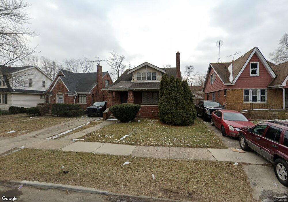
13620 Linnhurst St Detroit, MI 48205
Franklin NeighborhoodEstimated Value: $32,513 - $124,000
--
Bed
2
Baths
1,312
Sq Ft
$69/Sq Ft
Est. Value
About This Home
This home is located at 13620 Linnhurst St, Detroit, MI 48205 and is currently estimated at $90,504, approximately $68 per square foot. 13620 Linnhurst St is a home located in Wayne County with nearby schools including Edward 'Duke' Ellington Conservatory of Music and Art, Charles L. Spain Elementary-Middle School, and Bates Academy.
Ownership History
Date
Name
Owned For
Owner Type
Purchase Details
Closed on
Jan 12, 2017
Sold by
Sabree Eric R
Bought by
Detroit Land Bank Authority
Current Estimated Value
Purchase Details
Closed on
Jun 29, 2013
Sold by
Asset Management Directors Llc
Bought by
Okoh Isaiah
Purchase Details
Closed on
Aug 17, 2012
Sold by
Wayne County Treasurer
Bought by
Asset Management Directors Llc
Purchase Details
Closed on
Feb 24, 2005
Sold by
Nevills Donald S and Nevills Ondre
Bought by
Beneficial Michigan Inc
Create a Home Valuation Report for This Property
The Home Valuation Report is an in-depth analysis detailing your home's value as well as a comparison with similar homes in the area
Home Values in the Area
Average Home Value in this Area
Purchase History
| Date | Buyer | Sale Price | Title Company |
|---|---|---|---|
| Detroit Land Bank Authority | -- | None Available | |
| Okoh Isaiah | $1,501 | None Available | |
| Asset Management Directors Llc | $760 | None Available | |
| Beneficial Michigan Inc | $63,940 | -- |
Source: Public Records
Tax History Compared to Growth
Tax History
| Year | Tax Paid | Tax Assessment Tax Assessment Total Assessment is a certain percentage of the fair market value that is determined by local assessors to be the total taxable value of land and additions on the property. | Land | Improvement |
|---|---|---|---|---|
| 2025 | -- | $0 | $0 | $0 |
| 2024 | -- | $0 | $0 | $0 |
| 2023 | $0 | $0 | $0 | $0 |
| 2022 | $0 | $0 | $0 | $0 |
| 2021 | $0 | $0 | $0 | $0 |
| 2020 | $1,958 | $0 | $0 | $0 |
| 2019 | $1,958 | $0 | $0 | $0 |
| 2018 | $0 | $400 | $0 | $0 |
| 2017 | $7 | $400 | $0 | $0 |
| 2016 | $1,192 | $12,600 | $0 | $0 |
| 2015 | $1,260 | $12,600 | $0 | $0 |
| 2013 | $1,754 | $17,535 | $0 | $0 |
| 2010 | -- | $25,708 | $1,071 | $24,637 |
Source: Public Records
Map
Nearby Homes
- 13715 Linnhurst St
- 18088 Pelkey St
- 13830 Eastwood St
- 18430 Alcoy St
- 13449 Greiner St
- 18445 Alcoy St
- 13801 Fordham St
- 13540 Greiner St
- 14033 Glenwood St
- 14028 Faircrest St
- 18096 Joann St
- 14041 Glenwood St
- 13831 Seymour St
- 18488 Fairport St
- 19159 Reno St
- 13218 Greiner St
- 19170 Schoenherr St
- 18631 Fairport St
- 19188 Pelkey St
- 18430 Westphalia St
- 13626 Linnhurst St
- 13610 Linnhurst St
- 13600 Linnhurst St
- 13634 Linnhurst St
- 13644 Linnhurst St
- 13621 Glenwood St
- 13611 Glenwood St
- 13629 Glenwood St
- 13603 Glenwood St
- 13635 Glenwood St
- 13652 Linnhurst St
- 13621 Linnhurst St
- 13611 Linnhurst St
- 13629 Linnhurst St
- 13637 Linnhurst St
- 13660 Linnhurst St
- 13651 Glenwood St
- 13645 Linnhurst St
- 18539 Schoenherr St
- 18541 Schoenherr St
