13629 Oak Forest Dr Grass Valley, CA 95945
Estimated Value: $591,000 - $781,000
3
Beds
3
Baths
2,598
Sq Ft
$277/Sq Ft
Est. Value
About This Home
This home is located at 13629 Oak Forest Dr, Grass Valley, CA 95945 and is currently estimated at $718,952, approximately $276 per square foot. 13629 Oak Forest Dr is a home located in Nevada County with nearby schools including Bell Hill Academy, Margaret G. Scotten Elementary School, and Lyman Gilmore Middle School.
Ownership History
Date
Name
Owned For
Owner Type
Purchase Details
Closed on
Apr 20, 2010
Sold by
Hill Scott H and Hill Tawni S
Bought by
Hill Scott H and Hill Tawni S
Current Estimated Value
Home Financials for this Owner
Home Financials are based on the most recent Mortgage that was taken out on this home.
Original Mortgage
$250,000
Interest Rate
4.92%
Mortgage Type
New Conventional
Purchase Details
Closed on
Jul 10, 2003
Sold by
Hill Scott H and Hill Tawni S
Bought by
Hill Scott H and Hill Tawni S
Home Financials for this Owner
Home Financials are based on the most recent Mortgage that was taken out on this home.
Original Mortgage
$319,200
Interest Rate
5.18%
Mortgage Type
Purchase Money Mortgage
Purchase Details
Closed on
Nov 12, 2001
Sold by
Hill Scott H and Hill Tawni S
Bought by
Hill Scott H and Hill Tawni S
Create a Home Valuation Report for This Property
The Home Valuation Report is an in-depth analysis detailing your home's value as well as a comparison with similar homes in the area
Home Values in the Area
Average Home Value in this Area
Purchase History
| Date | Buyer | Sale Price | Title Company |
|---|---|---|---|
| Hill Scott H | -- | Fidelity Natl Title Co Of Ca | |
| Hill Scott H | -- | Fidelity Natl Title Co Of Ca | |
| Hill Scott H | -- | Fidelity National Title Co | |
| Hill Scott H | -- | Fidelity National Title Co | |
| Hill Scott H | -- | -- |
Source: Public Records
Mortgage History
| Date | Status | Borrower | Loan Amount |
|---|---|---|---|
| Previous Owner | Hill Scott H | $250,000 | |
| Previous Owner | Hill Scott H | $319,200 |
Source: Public Records
Tax History
| Year | Tax Paid | Tax Assessment Tax Assessment Total Assessment is a certain percentage of the fair market value that is determined by local assessors to be the total taxable value of land and additions on the property. | Land | Improvement |
|---|---|---|---|---|
| 2025 | $7,778 | $719,670 | $98,288 | $621,382 |
| 2024 | $7,599 | $705,560 | $96,361 | $609,199 |
| 2023 | $7,599 | $691,726 | $94,472 | $597,254 |
| 2022 | $7,297 | $678,164 | $92,620 | $585,544 |
| 2021 | $7,120 | $664,867 | $90,804 | $574,063 |
| 2020 | $7,116 | $658,050 | $89,873 | $568,177 |
| 2019 | $6,821 | $645,148 | $88,111 | $557,037 |
| 2018 | $6,795 | $632,499 | $86,384 | $546,115 |
| 2017 | $6,524 | $620,100 | $84,691 | $535,409 |
| 2016 | $6,284 | $607,944 | $83,031 | $524,913 |
| 2015 | $6,196 | $598,814 | $81,784 | $517,030 |
| 2014 | $6,196 | $587,085 | $80,182 | $506,903 |
Source: Public Records
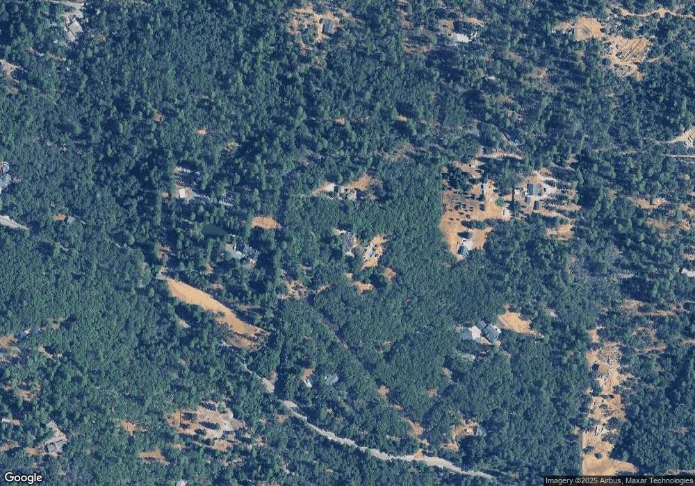
Map
Nearby Homes
- 14652 Carman Ct
- 13709 Capitol Dr
- 14008 Sontag Hill Rd
- 14833 Quail Pointe Ln
- 16243 Behr Mountain Rd
- 18148 Greenhorn Rd
- 17631 Greenhorn Rd
- 14037 Arrowhead Mine Rd
- 19344 Louis Rd
- 14295 Arrowhead Mine Rd
- 18100 Greenhorn Rd
- 14163 Jokers Wild Ln
- 16303 Jewett Ln
- 14788 Arrowhead Mine Rd
- 14173 Tahoe View Dr
- 14115 Tahoe View Dr
- 17721 Knoll Top Dr
- 12595 Blackberry Trail
- 17871 Rollins View Dr
- 18768 You Bet Rd
- 13565 Oak Forest Dr
- 15224 You Bet Rd
- 15466 You Bet Rd
- 13606 Clancy Way
- 15406 You Bet Rd
- 15488 You Bet Rd
- 13640 Clancy Way
- 13569 Clancy Way
- 13501 Clancy Way
- 13728 Sontag Rd
- 13295 Sontag Rd
- 15564 You Bet Rd
- 15217 You Bet Rd
- 15162 You Bet Rd
- 15684 You Bet Rd
- 13465 Clancy Way
- 15282 Avery Way
- 15125 Kelly Way
Your Personal Tour Guide
Ask me questions while you tour the home.