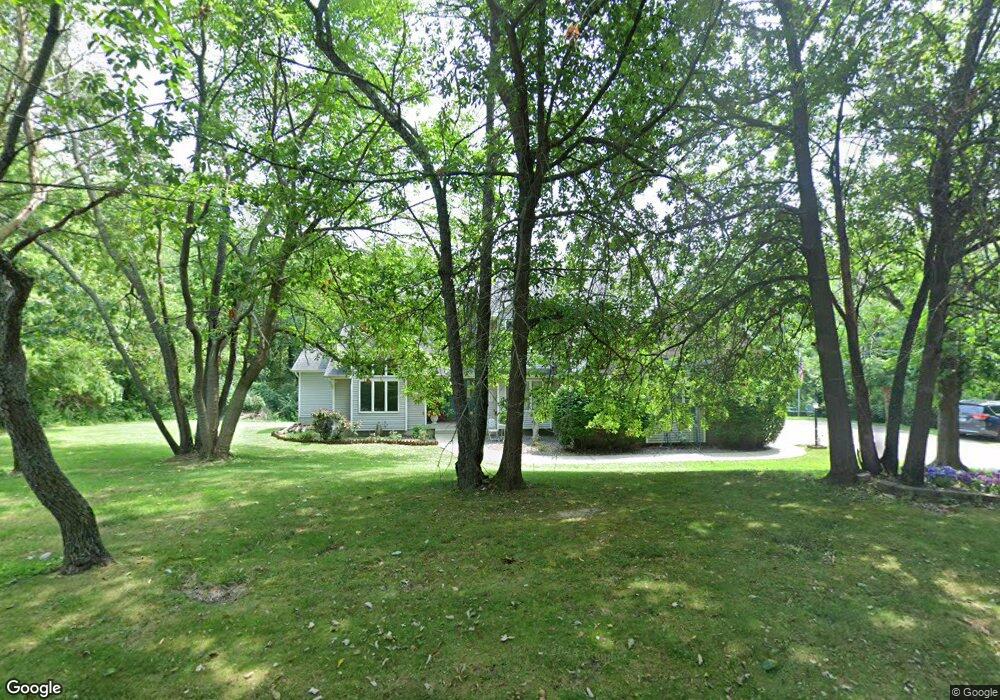
1363 Rattan Decatur, IL 62526
Sims-Woodridge NeighborhoodEstimated Value: $322,000 - $447,391
--
Bed
1
Bath
2,790
Sq Ft
$130/Sq Ft
Est. Value
About This Home
This home is located at 1363 Rattan, Decatur, IL 62526 and is currently estimated at $361,848, approximately $129 per square foot. 1363 Rattan is a home located in Macon County with nearby schools including Warrensburg-Latham Elementary School, Warrensburg-Latham Middle School, and Warrensburg-Latham High School.
Ownership History
Date
Name
Owned For
Owner Type
Purchase Details
Closed on
Sep 15, 2011
Sold by
Scribner Kenneth W and Scribner Linda M
Bought by
Scribner Kenneth W
Current Estimated Value
Home Financials for this Owner
Home Financials are based on the most recent Mortgage that was taken out on this home.
Original Mortgage
$245,111
Outstanding Balance
$20,334
Interest Rate
3.27%
Mortgage Type
New Conventional
Estimated Equity
$341,514
Purchase Details
Closed on
May 1, 1999
Create a Home Valuation Report for This Property
The Home Valuation Report is an in-depth analysis detailing your home's value as well as a comparison with similar homes in the area
Home Values in the Area
Average Home Value in this Area
Purchase History
| Date | Buyer | Sale Price | Title Company |
|---|---|---|---|
| Scribner Kenneth W | -- | None Available | |
| -- | $300,000 | -- |
Source: Public Records
Mortgage History
| Date | Status | Borrower | Loan Amount |
|---|---|---|---|
| Open | Scribner Kenneth W | $245,111 |
Source: Public Records
Tax History Compared to Growth
Tax History
| Year | Tax Paid | Tax Assessment Tax Assessment Total Assessment is a certain percentage of the fair market value that is determined by local assessors to be the total taxable value of land and additions on the property. | Land | Improvement |
|---|---|---|---|---|
| 2024 | $13,544 | $146,923 | $13,902 | $133,021 |
| 2023 | $12,610 | $135,064 | $12,780 | $122,284 |
| 2022 | $11,945 | $125,267 | $11,853 | $113,414 |
| 2021 | $11,486 | $117,132 | $11,084 | $106,048 |
| 2020 | $11,177 | $114,710 | $10,854 | $103,856 |
| 2019 | $11,177 | $114,710 | $10,854 | $103,856 |
| 2018 | $11,109 | $115,531 | $10,932 | $104,599 |
| 2017 | $11,122 | $115,013 | $10,883 | $104,130 |
| 2016 | $11,266 | $115,290 | $10,909 | $104,381 |
| 2015 | $10,985 | $113,923 | $10,780 | $103,143 |
| 2014 | $10,043 | $113,923 | $10,780 | $103,143 |
| 2013 | $10,307 | $113,923 | $10,780 | $103,143 |
Source: Public Records
Map
Nearby Homes
- 1474 Meadowview Dr
- 1120 Meadowview Dr
- 1225 W Pineview Ct
- 1110 Woodridge Ct
- 3707 N Woodridge Dr
- 3333 N University Ave
- 3235 N Susan Dr
- 3321 N Oakland Ave
- 821 W Karen Dr
- 1487 W Glenn Dr
- 2127 Riedel Ave
- 1302 W Pershing Rd
- 22 Grays Ln
- 933 W Frank Dr
- 2222 Sands Dr
- 1465 W Pershing Rd
- 612 W Karen Dr
- 880 W Frank Dr
- 2848 N Primrose Ln
- 810 Sarah Dr
- 1445 Meadowview Dr
- 1435 Meadowview Dr
- 1455 Meadowview Dr
- 1457 Meadowview Dr
- 1425 Meadowview Dr
- 1301 Rattan
- 1415 Meadowview Dr
- 1461 Rattan
- 1460 Meadowview Dr
- 1454 Meadowview Dr
- 1305 Rattan
- 1444 Meadowview Dr
- 1434 Meadowview Dr
- 1353 Meadowview Dr
- 3623 Meadowview Ct
- 3708 Sims Dr
- 3625 Meadowview Ct
- 1464 Meadowview Dr
- 1463 Meadowview Dr
- 1333 Meadowview Dr