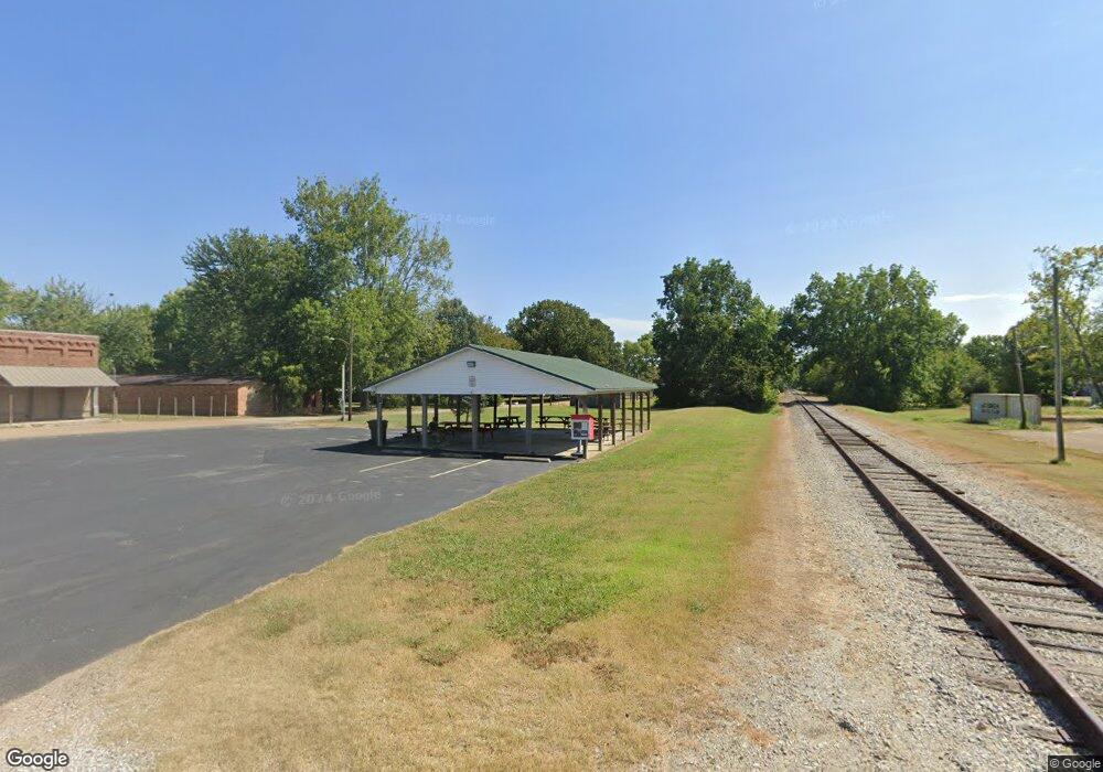
13630 Highway 641 N Puryear, TN 38251
Estimated Value: $108,000 - $172,000
--
Bed
1
Bath
1,490
Sq Ft
$100/Sq Ft
Est. Value
About This Home
This home is located at 13630 Highway 641 N, Puryear, TN 38251 and is currently estimated at $148,513, approximately $99 per square foot. 13630 Highway 641 N is a home located in Henry County.
Ownership History
Date
Name
Owned For
Owner Type
Purchase Details
Closed on
Oct 17, 2005
Sold by
Gigliotti Ronald W
Bought by
Michael Rusnak
Current Estimated Value
Home Financials for this Owner
Home Financials are based on the most recent Mortgage that was taken out on this home.
Original Mortgage
$73,594
Outstanding Balance
$45,612
Interest Rate
8.38%
Mortgage Type
Cash
Estimated Equity
$102,901
Purchase Details
Closed on
Jun 2, 2001
Bought by
Gigliotti Ronald W and Gigliotti Annie B
Purchase Details
Closed on
Nov 29, 2000
Sold by
Thomas Scarbrough
Bought by
Pat Ray Joe
Create a Home Valuation Report for This Property
The Home Valuation Report is an in-depth analysis detailing your home's value as well as a comparison with similar homes in the area
Home Values in the Area
Average Home Value in this Area
Purchase History
| Date | Buyer | Sale Price | Title Company |
|---|---|---|---|
| Michael Rusnak | $98,126 | -- | |
| Gigliotti Ronald W | $70,000 | -- | |
| Pat Ray Joe | -- | -- |
Source: Public Records
Mortgage History
| Date | Status | Borrower | Loan Amount |
|---|---|---|---|
| Open | Pat Ray Joe | $73,594 |
Source: Public Records
Tax History Compared to Growth
Tax History
| Year | Tax Paid | Tax Assessment Tax Assessment Total Assessment is a certain percentage of the fair market value that is determined by local assessors to be the total taxable value of land and additions on the property. | Land | Improvement |
|---|---|---|---|---|
| 2024 | $509 | $26,350 | $1,875 | $24,475 |
| 2023 | $499 | $26,350 | $1,875 | $24,475 |
| 2022 | $499 | $26,350 | $1,875 | $24,475 |
| 2021 | $499 | $26,350 | $1,875 | $24,475 |
| 2020 | $499 | $26,350 | $1,875 | $24,475 |
| 2019 | $507 | $24,225 | $1,875 | $22,350 |
| 2018 | $507 | $24,225 | $1,875 | $22,350 |
| 2017 | $507 | $24,225 | $1,875 | $22,350 |
| 2016 | $500 | $24,225 | $1,875 | $22,350 |
| 2015 | $532 | $24,225 | $1,875 | $22,350 |
| 2014 | $528 | $24,225 | $1,875 | $22,350 |
| 2013 | $528 | $24,035 | $0 | $0 |
Source: Public Records
Map
Nearby Homes
- 0 Highway 641 N Unit 133861
- 13570 Highway 641 N
- 0 State Line Rd E
- 000 State Line Rd E
- 505 5th St
- 00 Atkins Trail
- 820 3rd St
- 000 Perkins Rd
- 0 Perkins Rd
- 00 Perkins Rd
- 200 Morris Rd
- 1230 Perkins Rd
- 317 Stokes St
- 236 W Chestnut St
- 9620 Hwy 641n
- 0 Highway 140 E
- 2794 Perkins Rd
- 10433 Shady Grove Rd
- 000 Arnett Ln
- 715 Shoemaker Rd
- 13650 Highway 641 N
- 13600 Highway 641 N
- 13625 Highway 641 N
- 13565 Highway 641 N
- 1950 Mason Lake Rd
- 2010 Mason Lake Rd
- 13740 Highway 641 N
- 13740 Highway 641 N
- 13740 Us Hwy 641
- 2020 Mason Lake Rd
- 13515 Highway 641 N
- 1850 Mason Lake Rd
- 2050 Mason Lake Rd
- 13775 Highway 641 N
- 13800 Highway 641 N
- 209 State St Unit Hwy 641 South
- 209 State St
- 1810 Mason Lake Rd
- 201 State St
- 203 State St
