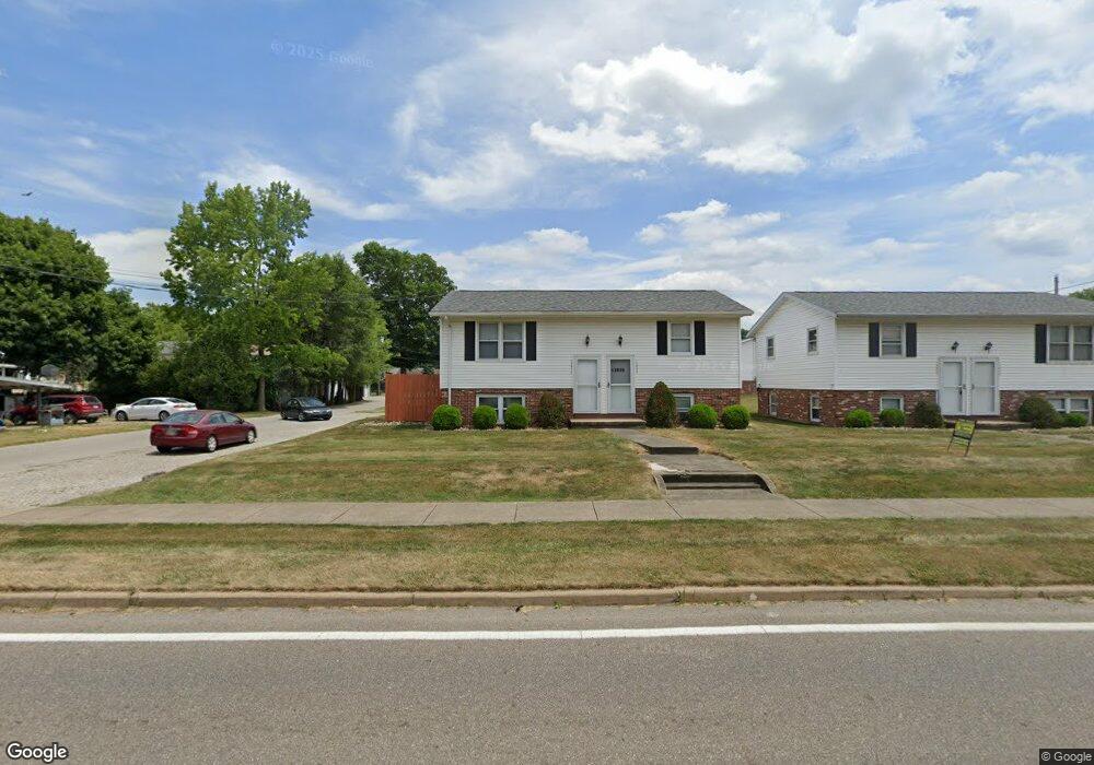
13635 S Main St Beloit, OH 44609
Estimated Value: $131,000 - $354,000
4
Beds
2
Baths
1,728
Sq Ft
$115/Sq Ft
Est. Value
About This Home
This home is located at 13635 S Main St, Beloit, OH 44609 and is currently estimated at $199,391, approximately $115 per square foot. 13635 S Main St is a home located in Mahoning County with nearby schools including West Branch Middle School and West Branch High School.
Ownership History
Date
Name
Owned For
Owner Type
Purchase Details
Closed on
Sep 21, 2021
Bought by
Best Property Group Llc
Current Estimated Value
Home Financials for this Owner
Home Financials are based on the most recent Mortgage that was taken out on this home.
Interest Rate
2.86%
Purchase Details
Closed on
May 13, 2021
Sold by
Cadile Joseph V and Cadile Nancy L
Bought by
Cadile Joseph V and Cadile Nancy L
Purchase Details
Closed on
Apr 26, 1989
Bought by
Cadile Joseph and N L
Create a Home Valuation Report for This Property
The Home Valuation Report is an in-depth analysis detailing your home's value as well as a comparison with similar homes in the area
Purchase History
| Date | Buyer | Sale Price | Title Company |
|---|---|---|---|
| Best Property Group Llc | $575,000 | -- | |
| Cadile Joseph V | -- | None Available | |
| Cadile Joseph | $52,500 | -- |
Source: Public Records
Mortgage History
| Date | Status | Borrower | Loan Amount |
|---|---|---|---|
| Closed | Best Property Group Llc | -- |
Source: Public Records
Map
Nearby Homes
- 18061 Derr Ave
- 18280 5th St
- 17325 5th St
- 18262 W Pine Lake Rd
- 11 Redwood St
- 57 Redwood St
- 726 N 12th St
- 345 E Indiana Ave
- 430 Hillsdale St
- 945 N 12th St
- 423 S 14th St
- 157 E Ohio Ave
- 1005 N 13th St
- 166 E Michigan Ave
- 125 E Indiana Ave
- 208 S 15th St
- 324 S 15th St
- 175 W Ohio Ave
- 0 W Nevada Ave Unit 5181868
- 406 W Ohio Ave
- 13635 N Main St
- 13637 S Main St
- 13633 S Main St
- 17975 2nd St
- 17973 2nd St
- 13609 S Main St
- 17974 1st St
- 13634 S Main St
- 13599 N Main St
- 13636 Williams St
- 13630 S Main St
- 13610 S Main St
- 17947 3rd St
- 17955 1st St
- 13654 S Main St
- 13600 S Main St
- 13579 N Main St
- 13666 S Main St
- 13635 Williams St
- 13609 Williams St
Your Personal Tour Guide
Ask me questions while you tour the home.