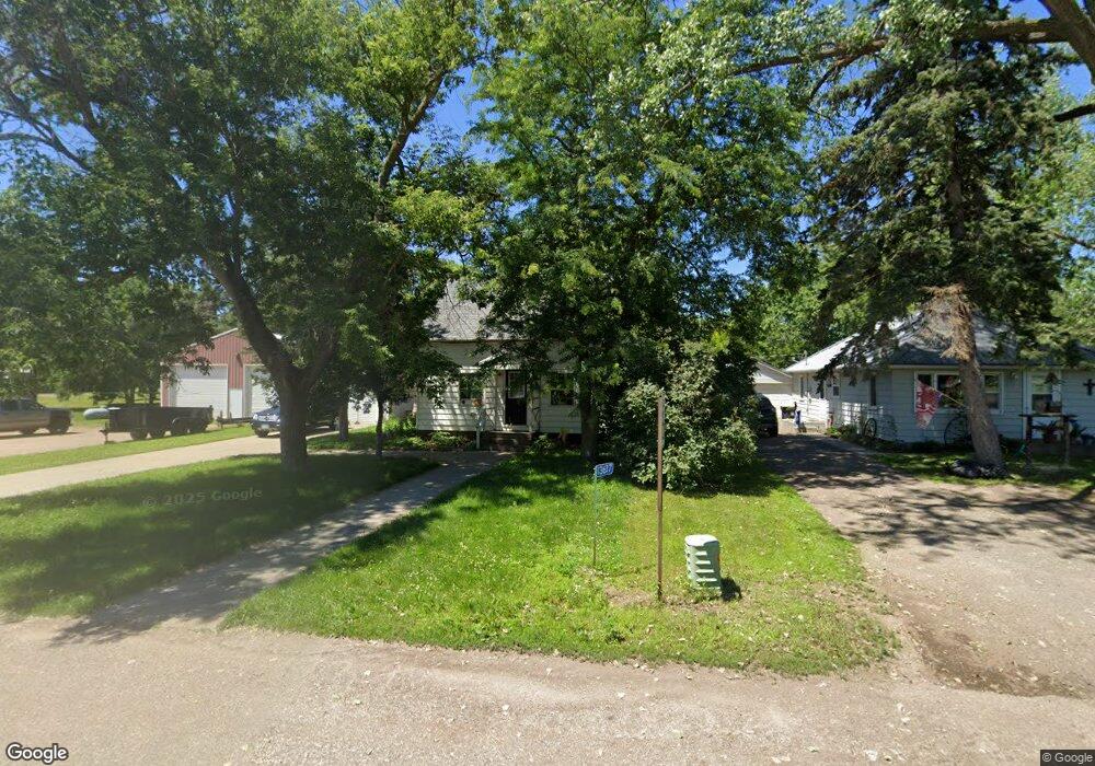
13637 49th Ave South Haven, MN 55382
Estimated Value: $136,541 - $215,000
3
Beds
1
Bath
720
Sq Ft
$235/Sq Ft
Est. Value
About This Home
This home is located at 13637 49th Ave, South Haven, MN 55382 and is currently estimated at $169,385, approximately $235 per square foot. 13637 49th Ave is a home located in Stearns County with nearby schools including Kimball Elementary School and Kimball High School.
Ownership History
Date
Name
Owned For
Owner Type
Purchase Details
Closed on
Jan 24, 2014
Sold by
Zoller Wayne A
Bought by
Mitchell Joshua R and Mitchell Jennifer L
Current Estimated Value
Home Financials for this Owner
Home Financials are based on the most recent Mortgage that was taken out on this home.
Original Mortgage
$115,000
Interest Rate
6%
Mortgage Type
Land Contract Argmt. Of Sale
Purchase Details
Closed on
Jun 30, 2004
Sold by
Glaenzke Edna
Bought by
Zoller Wayne
Create a Home Valuation Report for This Property
The Home Valuation Report is an in-depth analysis detailing your home's value as well as a comparison with similar homes in the area
Home Values in the Area
Average Home Value in this Area
Purchase History
| Date | Buyer | Sale Price | Title Company |
|---|---|---|---|
| Mitchell Joshua R | $125,000 | -- | |
| Zoller Wayne | $82,200 | -- |
Source: Public Records
Mortgage History
| Date | Status | Borrower | Loan Amount |
|---|---|---|---|
| Closed | Mitchell Joshua R | $115,000 |
Source: Public Records
Tax History Compared to Growth
Tax History
| Year | Tax Paid | Tax Assessment Tax Assessment Total Assessment is a certain percentage of the fair market value that is determined by local assessors to be the total taxable value of land and additions on the property. | Land | Improvement |
|---|---|---|---|---|
| 2025 | $934 | $103,000 | $28,200 | $74,800 |
| 2024 | $934 | $101,800 | $28,200 | $73,600 |
| 2023 | $900 | $100,100 | $28,200 | $71,900 |
| 2022 | $830 | $76,700 | $23,500 | $53,200 |
| 2021 | $888 | $76,700 | $23,500 | $53,200 |
| 2020 | $920 | $76,900 | $23,500 | $53,400 |
| 2019 | $816 | $78,400 | $25,400 | $53,000 |
| 2018 | $760 | $60,800 | $20,400 | $40,400 |
| 2017 | $714 | $54,700 | $18,400 | $36,300 |
| 2016 | $678 | $0 | $0 | $0 |
| 2015 | $438 | $0 | $0 | $0 |
| 2014 | -- | $0 | $0 | $0 |
Source: Public Records
Map
Nearby Homes
- 10848 Porter Ave NW
- 14XXX County Road 44
- 16698 109th St NW
- 10368 Oliver Ave NW
- 10399 Reardon Ave NW
- 13943 102nd St NW
- 13934 101st St NW
- 13496 Campfire Cir
- 2060 Clearwater Forest Dr
- 8537 Pittman Ave NW
- South Tract A TBD County Road 45
- North Tract B TBD County Road 45
- 125 Cedar St SE
- 148 Cedar St SE
- 118 Cedar St SE
- 847 Walnut Ave SE
- 0 80th St NW
- 226 Quill St NE
- 16307 78th Ave
- 451 Linden Ave E
- 13659 49th Ave
- 13636 50th Ave
- 4921 County Road 44
- 13642 49th Ave
- 13628 49th Ave
- 13612 49th Ave
- 13603 49th Ave
- 4930 Bluehill Cir
- 4984 136th St
- 13601 49th Ave
- 13602 49th Ave
- 13600 49th Ave
- 13631 50th Ave
- 4932 Bluehill Cir
- 4938 Bluehill Cir
- 13551 49th Ave
- 13637 County Road 7
- 13564 49th Ave
- 13601 50th Ave
- 13601 County Road 7