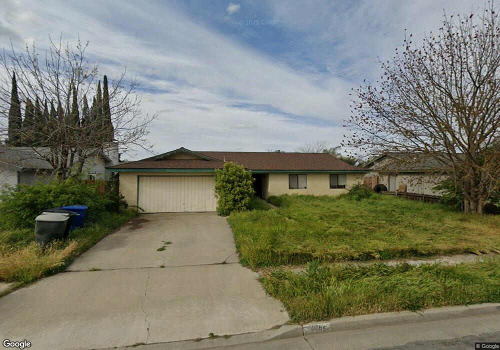
1364 Stanford Place Hanford, CA 93230
Estimated Value: $317,000 - $341,000
3
Beds
2
Baths
1,398
Sq Ft
$236/Sq Ft
Est. Value
About This Home
This home is located at 1364 Stanford Place, Hanford, CA 93230 and is currently estimated at $329,489, approximately $235 per square foot. 1364 Stanford Place is a home located in Kings County with nearby schools including Joseph M. Simas, Woodrow Wilson Junior High School, and Hanford West High School.
Ownership History
Date
Name
Owned For
Owner Type
Purchase Details
Closed on
Mar 3, 1999
Sold by
Hud
Bought by
Parra Allen and Parra Holly
Current Estimated Value
Home Financials for this Owner
Home Financials are based on the most recent Mortgage that was taken out on this home.
Original Mortgage
$74,700
Interest Rate
6.98%
Purchase Details
Closed on
Dec 9, 1998
Sold by
Edwardsen Merilyn
Bought by
California Housing Finance Agency
Create a Home Valuation Report for This Property
The Home Valuation Report is an in-depth analysis detailing your home's value as well as a comparison with similar homes in the area
Home Values in the Area
Average Home Value in this Area
Purchase History
| Date | Buyer | Sale Price | Title Company |
|---|---|---|---|
| Parra Allen | $83,000 | North American Title Co | |
| California Housing Finance Agency | $71,188 | First American Title Ins Co |
Source: Public Records
Mortgage History
| Date | Status | Borrower | Loan Amount |
|---|---|---|---|
| Previous Owner | Parra Allen | $74,700 |
Source: Public Records
Tax History Compared to Growth
Tax History
| Year | Tax Paid | Tax Assessment Tax Assessment Total Assessment is a certain percentage of the fair market value that is determined by local assessors to be the total taxable value of land and additions on the property. | Land | Improvement |
|---|---|---|---|---|
| 2025 | $1,381 | $130,116 | $39,191 | $90,925 |
| 2023 | $1,381 | $125,066 | $37,670 | $87,396 |
| 2022 | $1,352 | $122,615 | $36,932 | $85,683 |
| 2021 | $1,323 | $120,211 | $36,208 | $84,003 |
| 2020 | $1,337 | $118,979 | $35,837 | $83,142 |
| 2019 | $1,315 | $116,646 | $35,134 | $81,512 |
| 2018 | $1,277 | $114,359 | $34,445 | $79,914 |
| 2017 | $1,258 | $112,117 | $33,770 | $78,347 |
| 2016 | $1,241 | $109,919 | $33,108 | $76,811 |
| 2015 | $1,233 | $108,268 | $32,611 | $75,657 |
| 2014 | $1,209 | $106,147 | $31,972 | $74,175 |
Source: Public Records
Map
Nearby Homes
- #1 W Grangeville Blvd
- 1389 Cornell Place
- 1255 W Grangeville Blvd
- 1255 W Grangeville Blvd Unit 1
- 1255 W Grangeville Blvd Unit 75
- 1209 W Water St
- 1585 Fitzgerald Ln
- 1255 Fitzgerald Ln
- 1200 Oxford Way
- 1348 Greenfield Ave
- 1152 W Grangeville Blvd
- 1684 W Berkshire Ln
- 2035 W Chianti Way
- 1093 Raymond Rd
- 1401 N Richmond Ave
- 1769 N Jennie Lake
- 1365 Muscat Ct
- 1378 Stanford Place
- 1350 Stanford Place
- 1602 University Ave
- 1606 University Ave
- 1610 University Ave
- 1614 University Ave
- 1382 Stanford Place
- 1634 University Ave
- 1618 University Ave
- 1363 Stanford Place
- 1638 University Ave
- 1375 Stanford Place
- 1351 Stanford Place
- 1622 University Ave
- 1626 University Ave
- 1642 University Ave
- 1603 University Ave
- 1595 University Ave
- 1383 Stanford Place
- 1581 University Ave