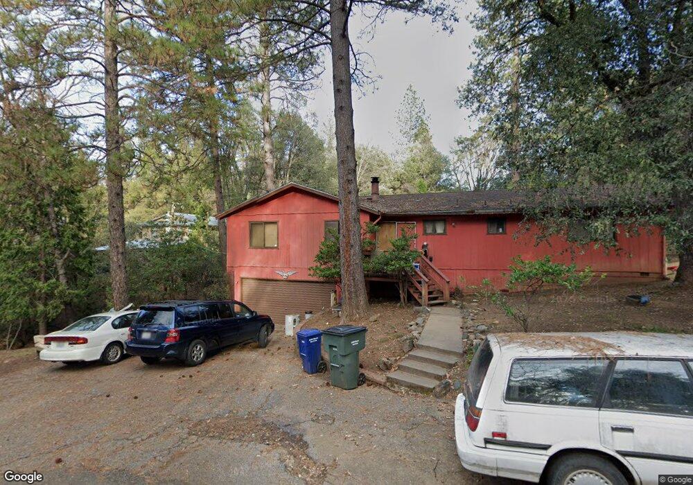
13640 Spagnoli Mine Rd Pine Grove, CA 95665
Estimated Value: $371,000 - $390,000
3
Beds
3
Baths
1,814
Sq Ft
$208/Sq Ft
Est. Value
About This Home
This home is located at 13640 Spagnoli Mine Rd, Pine Grove, CA 95665 and is currently estimated at $377,899, approximately $208 per square foot. 13640 Spagnoli Mine Rd is a home located in Amador County with nearby schools including Pine Grove Elementary STEM School, Jackson Junior High School, and Argonaut High School.
Ownership History
Date
Name
Owned For
Owner Type
Purchase Details
Closed on
Jun 10, 2022
Sold by
Angel Tompkins
Bought by
Lang Ted
Current Estimated Value
Home Financials for this Owner
Home Financials are based on the most recent Mortgage that was taken out on this home.
Original Mortgage
$165,000
Interest Rate
5.27%
Mortgage Type
Construction
Purchase Details
Closed on
Jun 18, 2001
Sold by
Million Dorothy E
Bought by
Million Dorothy E and Lang Ted
Create a Home Valuation Report for This Property
The Home Valuation Report is an in-depth analysis detailing your home's value as well as a comparison with similar homes in the area
Home Values in the Area
Average Home Value in this Area
Purchase History
| Date | Buyer | Sale Price | Title Company |
|---|---|---|---|
| Lang Ted | -- | Lawyers Title | |
| Lang Ted | -- | Lawyers Title | |
| Million Dorothy E | -- | -- |
Source: Public Records
Mortgage History
| Date | Status | Borrower | Loan Amount |
|---|---|---|---|
| Closed | Lang Ted | $165,000 |
Source: Public Records
Tax History Compared to Growth
Tax History
| Year | Tax Paid | Tax Assessment Tax Assessment Total Assessment is a certain percentage of the fair market value that is determined by local assessors to be the total taxable value of land and additions on the property. | Land | Improvement |
|---|---|---|---|---|
| 2025 | $2,096 | $191,226 | $49,650 | $141,576 |
| 2024 | $2,096 | $187,477 | $48,677 | $138,800 |
| 2023 | $2,057 | $183,802 | $47,723 | $136,079 |
| 2022 | $1,979 | $180,199 | $46,788 | $133,411 |
| 2021 | $1,944 | $176,667 | $45,871 | $130,796 |
| 2020 | $1,925 | $174,856 | $45,401 | $129,455 |
| 2019 | $1,890 | $171,428 | $44,511 | $126,917 |
| 2018 | $1,856 | $168,068 | $43,639 | $124,429 |
| 2017 | $1,822 | $164,774 | $42,784 | $121,990 |
| 2016 | $1,789 | $161,545 | $41,946 | $119,599 |
| 2015 | $1,765 | $159,119 | $41,316 | $117,803 |
| 2014 | $1,732 | $156,003 | $40,507 | $115,496 |
Source: Public Records
Map
Nearby Homes
- 13825 Pine View Dr
- 13851 Tank Ct
- 19934 Pitts Ct
- 13820 Tank Ct
- 13331 Valley Vista Ct
- 14074 Irishtown Rd Unit 52
- 14074 Irishtown Rd Unit 74
- 14074 Irishtown Rd Unit 12
- 14074 Irishtown Rd Unit 40
- 20117 Neilson Rd
- 19620 State Highway 88
- 19345 Ridge Rd
- 12970 Spagnoli Mine Rd
- 42 Petersen Ranch Dr
- 14337 Walnut St
- 20070 Tellurium Dr
- 20445 Wild Pine Dr
- 12815 Bonnefoy Rd
- 13240 Ponderosa Way
- 0 Mitchell Mine Rd
- 19675 Pitts Dr
- 13670 Spagnoli Mine Rd
- 19735 Pitts Dr
- 19745 Pitts Dr
- 19670 Pitts Dr
- 19765 Pitts Dr
- 13734 Irishtown Rd
- 13558 Spagnoli Mine Rd
- 19678 Pitts Dr
- 13750 Eaton Rd
- 13720 Irish Town Rd
- 13720 Irishtown Rd
- 13764 Eaton Rd
- 19755 Pitts Dr
- 13749 Eaton Rd
- 13524 Spagnoli Mine Rd
- 19815 Pitts Dr
- 19855 Pitts Dr
- 13773 Eaton Rd
- 19676 Pitts Dr