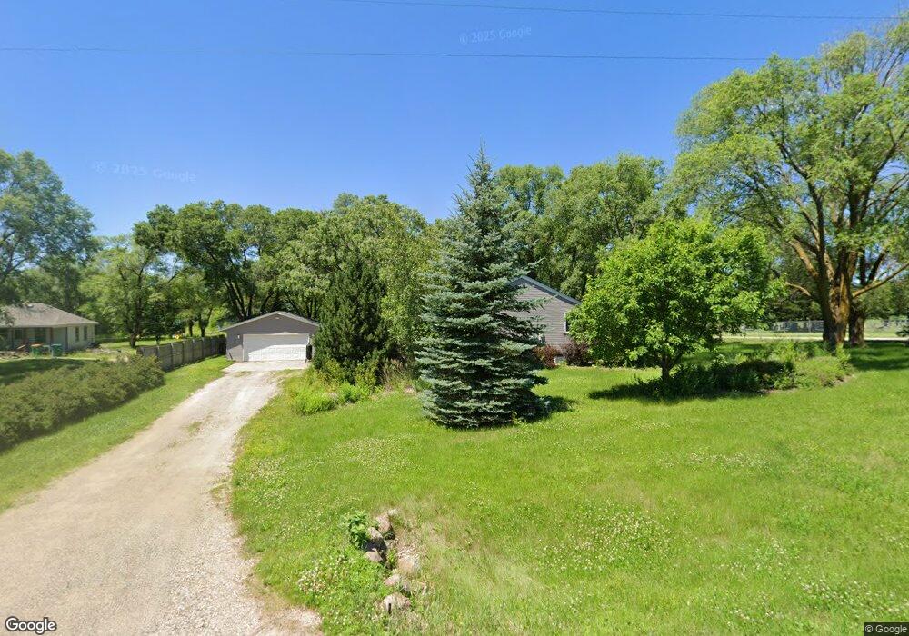
13645 46th Ave South Haven, MN 55382
Estimated Value: $271,000 - $305,550
4
Beds
2
Baths
1,872
Sq Ft
$155/Sq Ft
Est. Value
About This Home
This home is located at 13645 46th Ave, South Haven, MN 55382 and is currently estimated at $289,638, approximately $154 per square foot. 13645 46th Ave is a home located in Stearns County with nearby schools including Kimball Elementary School and Kimball High School.
Ownership History
Date
Name
Owned For
Owner Type
Purchase Details
Closed on
Apr 30, 2020
Sold by
Patnode Derek J and Patnode Kari
Bought by
Laney Tyler J
Current Estimated Value
Purchase Details
Closed on
Oct 13, 2016
Sold by
Patnode Heidi Ann
Bought by
Patnode Derek James
Purchase Details
Closed on
Sep 29, 2008
Sold by
Klingelhoets Anthony
Bought by
Patnode Derek J and Not Provided
Purchase Details
Closed on
Jul 28, 2003
Sold by
Kotila Jerry
Bought by
Klingelhoets Anthony
Purchase Details
Closed on
Oct 6, 1991
Sold by
Zachow Donald
Bought by
Kotila Jerry
Create a Home Valuation Report for This Property
The Home Valuation Report is an in-depth analysis detailing your home's value as well as a comparison with similar homes in the area
Home Values in the Area
Average Home Value in this Area
Purchase History
| Date | Buyer | Sale Price | Title Company |
|---|---|---|---|
| Laney Tyler J | $192,575 | None Available | |
| Patnode Derek James | -- | None Available | |
| Patnode Derek J | $140,000 | -- | |
| Klingelhoets Anthony | $134,500 | -- | |
| Kotila Jerry | $4,500 | -- |
Source: Public Records
Tax History Compared to Growth
Tax History
| Year | Tax Paid | Tax Assessment Tax Assessment Total Assessment is a certain percentage of the fair market value that is determined by local assessors to be the total taxable value of land and additions on the property. | Land | Improvement |
|---|---|---|---|---|
| 2025 | $2,140 | $252,600 | $53,600 | $199,000 |
| 2024 | $2,140 | $253,400 | $53,600 | $199,800 |
| 2023 | $2,046 | $248,100 | $53,600 | $194,500 |
| 2022 | $1,904 | $193,200 | $48,000 | $145,200 |
| 2021 | $1,996 | $193,200 | $48,000 | $145,200 |
| 2020 | $1,760 | $189,700 | $48,000 | $141,700 |
| 2019 | $1,274 | $168,800 | $33,700 | $135,100 |
| 2018 | $1,134 | $113,300 | $26,600 | $86,700 |
| 2017 | $1,056 | $102,100 | $24,600 | $77,500 |
| 2016 | $974 | $0 | $0 | $0 |
| 2015 | $914 | $0 | $0 | $0 |
| 2014 | -- | $0 | $0 | $0 |
Source: Public Records
Map
Nearby Homes
- 14XXX County Road 44
- 10848 Porter Ave NW
- 10368 Oliver Ave NW
- 16698 109th St NW
- 13943 102nd St NW
- 13934 101st St NW
- 10399 Reardon Ave NW
- 13496 Campfire Cir
- 2060 Clearwater Forest Dr
- South Tract A TBD County Road 45
- North Tract B TBD County Road 45
- 8537 Pittman Ave NW
- 0 80th St NW
- 11780 103rd St NW
- 125 Cedar St SE
- 148 Cedar St SE
- 118 Cedar St SE
- 847 Walnut Ave SE
- XXXXXXX (Parcel C) 170th St
- XXXXX (Parcel B) 170th St
- 13627 46th Ave
- 4553 Bridgewater Rd
- 13603 46th Ave
- 13604 46th Ave
- 4671 Bridgewater Rd
- 13575 46th Ave
- 13566 46th Ave
- 4515 Bridgewater Rd
- 4713 Bridgewater Rd
- 4735 Bridgewater Rd
- 4686 Bridgewater Rd
- 13526 46th Ave
- 4762 Bridgewater Rd
- 51XX Brookfield Rd
- 4496 Butternut Rd
- 4797 Bridgewater Rd
- 4764 Bridgewater Rd
- 13503 46th Ave
- 4473 Bridgewater Rd
- 4575 Butternut Rd