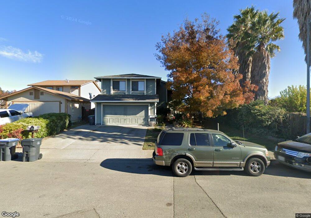
1365 Matthew Dr Fairfield, CA 94533
Estimated Value: $493,000 - $540,000
3
Beds
3
Baths
1,617
Sq Ft
$322/Sq Ft
Est. Value
About This Home
This home is located at 1365 Matthew Dr, Fairfield, CA 94533 and is currently estimated at $521,403, approximately $322 per square foot. 1365 Matthew Dr is a home located in Solano County with nearby schools including Cleo Gordon Elementary School, Grange Middle School, and Fairfield High School.
Ownership History
Date
Name
Owned For
Owner Type
Purchase Details
Closed on
Nov 5, 1996
Sold by
Wise Alan E and Wise Carol A
Bought by
Carper Philip S and Carper Geneva F
Current Estimated Value
Home Financials for this Owner
Home Financials are based on the most recent Mortgage that was taken out on this home.
Original Mortgage
$123,873
Outstanding Balance
$12,262
Interest Rate
8.14%
Mortgage Type
FHA
Estimated Equity
$509,141
Create a Home Valuation Report for This Property
The Home Valuation Report is an in-depth analysis detailing your home's value as well as a comparison with similar homes in the area
Home Values in the Area
Average Home Value in this Area
Purchase History
| Date | Buyer | Sale Price | Title Company |
|---|---|---|---|
| Carper Philip S | $124,000 | Chicago Title Co |
Source: Public Records
Mortgage History
| Date | Status | Borrower | Loan Amount |
|---|---|---|---|
| Open | Carper Philip S | $123,873 |
Source: Public Records
Tax History Compared to Growth
Tax History
| Year | Tax Paid | Tax Assessment Tax Assessment Total Assessment is a certain percentage of the fair market value that is determined by local assessors to be the total taxable value of land and additions on the property. | Land | Improvement |
|---|---|---|---|---|
| 2025 | $2,275 | $201,948 | $48,853 | $153,095 |
| 2024 | $2,275 | $197,990 | $47,896 | $150,094 |
| 2023 | $2,205 | $194,108 | $46,957 | $147,151 |
| 2022 | $2,178 | $190,303 | $46,037 | $144,266 |
| 2021 | $2,157 | $186,573 | $45,135 | $141,438 |
| 2020 | $2,107 | $184,661 | $44,673 | $139,988 |
| 2019 | $2,056 | $181,042 | $43,798 | $137,244 |
| 2018 | $2,121 | $177,493 | $42,940 | $134,553 |
| 2017 | $2,024 | $174,014 | $42,099 | $131,915 |
| 2016 | $2,003 | $170,603 | $41,274 | $129,329 |
| 2015 | $1,871 | $168,042 | $40,655 | $127,387 |
| 2014 | $1,854 | $164,751 | $39,859 | $124,892 |
Source: Public Records
Map
Nearby Homes
- 1695 Blossom Ave
- 987 Daniel St
- 1941 Grande Cir Unit 45
- 1941 Grande Cir Unit 48
- 1960 Grande Cir Unit 41
- 1048 E Tabor Ave
- 1970 Grande Cir Unit 9
- 1920 Grande Cir Unit 92
- 1870 San Pedro Ct
- 1312 Phillip Way
- 1120 Camellia Ln
- 507 Kings Way Unit B
- 855 Meadowlark Dr
- 1045 Camellia Ct
- 55 Villa Cir
- 66 Villa Cir
- 1210 Humphrey Dr
- 613 Marcia Ln
- 1113 Strawberry Ln
- 117 Summertime Ln