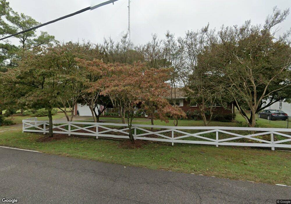
1365 Old Buckroe Rd Unit D Hampton, VA 23663
Buckroe Beach NeighborhoodEstimated Value: $388,000 - $441,579
3
Beds
3
Baths
2,556
Sq Ft
$160/Sq Ft
Est. Value
About This Home
This home is located at 1365 Old Buckroe Rd Unit D, Hampton, VA 23663 and is currently estimated at $410,145, approximately $160 per square foot. 1365 Old Buckroe Rd Unit D is a home located in Hampton City with nearby schools including Jane H. Bryan Elementary School, Benjamin Syms Middle School, and Phoebus High School.
Ownership History
Date
Name
Owned For
Owner Type
Purchase Details
Closed on
Jul 30, 2025
Sold by
Snapp Eric H and Watson Rosemarie D
Bought by
Morrison Jelissa
Current Estimated Value
Home Financials for this Owner
Home Financials are based on the most recent Mortgage that was taken out on this home.
Original Mortgage
$400,000
Outstanding Balance
$399,650
Interest Rate
6.67%
Mortgage Type
VA
Estimated Equity
$10,495
Create a Home Valuation Report for This Property
The Home Valuation Report is an in-depth analysis detailing your home's value as well as a comparison with similar homes in the area
Home Values in the Area
Average Home Value in this Area
Purchase History
We collect this data history from publicly available records. To have your information removed, we recommend requesting removal directly through your county’s website.
| Date | Buyer | Sale Price | Title Company |
|---|---|---|---|
| Morrison Jelissa | $400,000 | Old Republic National Title In |
Source: Public Records
Mortgage History
We collect this data history from publicly available records. To have your information removed, we recommend requesting removal directly through your county’s website.
| Date | Status | Borrower | Loan Amount |
|---|---|---|---|
| Open | Morrison Jelissa | $400,000 |
Source: Public Records
Tax History
| Year | Tax Paid | Tax Assessment Tax Assessment Total Assessment is a certain percentage of the fair market value that is determined by local assessors to be the total taxable value of land and additions on the property. | Land | Improvement |
|---|---|---|---|---|
| 2025 | $4,131 | $348,900 | $60,000 | $288,900 |
| 2024 | $3,994 | $347,300 | $60,000 | $287,300 |
| 2023 | $3,828 | $317,800 | $55,000 | $262,800 |
| 2022 | $3,548 | $300,700 | $45,000 | $255,700 |
| 2021 | $3,347 | $259,400 | $40,000 | $219,400 |
| 2020 | $1,906 | $153,700 | $33,500 | $120,200 |
| 2019 | $1,906 | $153,700 | $33,500 | $120,200 |
| 2018 | $1,971 | $149,100 | $33,500 | $115,600 |
| 2017 | $1,943 | $0 | $0 | $0 |
| 2016 | $1,943 | $149,100 | $0 | $0 |
| 2015 | $1,943 | $0 | $0 | $0 |
| 2014 | $2,024 | $156,500 | $33,500 | $123,000 |
Source: Public Records
Map
Nearby Homes
- 1405 Old Buckroe Rd
- 1517 Slater Ave
- 343 Darby Ave
- 1527 Grove St
- 21 Harwood Ave
- 2 Northcutt Dr
- 442 Smiley Rd
- 57 Phelps Cir
- 51 Phelps Cir
- 1642 N Mallory St
- 11 Farrington Place
- 2112 E Pembroke Ave
- 714 Grove St
- 315 Mary St
- 718 Burgess Ave
- 2051 Richard Ave
- 637 Grimes Rd
- 17 Seaview Dr
- 1812 Nickerson Blvd
- 1530 Morgan Dr
- 1373 Old Buckroe Rd
- 1367 Old Buckroe Rd
- 1371 Old Buckroe Rd
- 1375 Old Buckroe Rd
- 1381 Old Buckroe Rd
- 1401 Old Buckroe Rd
- 1962 E Pembroke Ave
- 344 Wilton Ave
- 39 Harwood Ave
- 1407 Old Buckroe Rd
- 40 Harwood Ave
- 342 Wilton Ave
- 1402 Old Buckroe Rd
- 1944 E Pembroke Ave
- 343 Wilton Ave
- 37 Harwood Ave
- 1515 Slater Ave
- 1404 Old Buckroe Rd
- 340 Wilton Ave
- 1413 Old Buckroe Rd Unit A06
Your Personal Tour Guide
Ask me questions while you tour the home.