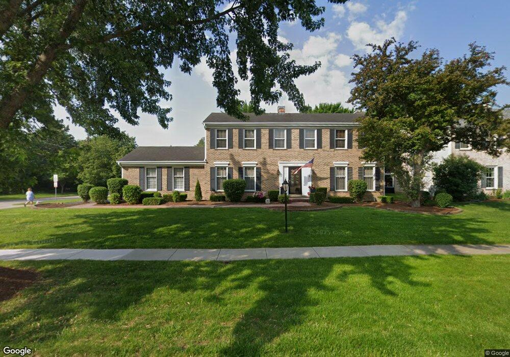
1365 Picardy Ln Hoffman Estates, IL 60192
South Ridge NeighborhoodEstimated Value: $562,000 - $644,000
4
Beds
3
Baths
2,200
Sq Ft
$268/Sq Ft
Est. Value
About This Home
This home is located at 1365 Picardy Ln, Hoffman Estates, IL 60192 and is currently estimated at $590,452, approximately $268 per square foot. 1365 Picardy Ln is a home located in Cook County with nearby schools including Thomas Jefferson Elementary School, Frank C. Whiteley Elementary School, and William Fremd High School.
Ownership History
Date
Name
Owned For
Owner Type
Purchase Details
Closed on
Jun 1, 2017
Sold by
Nemshick Mark A and Nemshick Pam A
Bought by
Dys Kamil and Dys Amber
Current Estimated Value
Home Financials for this Owner
Home Financials are based on the most recent Mortgage that was taken out on this home.
Original Mortgage
$384,750
Outstanding Balance
$316,940
Interest Rate
4.02%
Mortgage Type
New Conventional
Estimated Equity
$273,512
Create a Home Valuation Report for This Property
The Home Valuation Report is an in-depth analysis detailing your home's value as well as a comparison with similar homes in the area
Home Values in the Area
Average Home Value in this Area
Purchase History
| Date | Buyer | Sale Price | Title Company |
|---|---|---|---|
| Dys Kamil | $405,000 | Chicago Title |
Source: Public Records
Mortgage History
| Date | Status | Borrower | Loan Amount |
|---|---|---|---|
| Open | Dys Kamil | $384,750 |
Source: Public Records
Tax History
| Year | Tax Paid | Tax Assessment Tax Assessment Total Assessment is a certain percentage of the fair market value that is determined by local assessors to be the total taxable value of land and additions on the property. | Land | Improvement |
|---|---|---|---|---|
| 2025 | $11,736 | $58,001 | $13,338 | $44,663 |
| 2024 | $11,736 | $42,045 | $11,204 | $30,841 |
| 2023 | $11,323 | $42,045 | $11,204 | $30,841 |
| 2022 | $11,323 | $42,045 | $11,204 | $30,841 |
| 2021 | $10,072 | $33,734 | $6,668 | $27,066 |
| 2020 | $10,939 | $33,734 | $6,668 | $27,066 |
| 2019 | $11,706 | $40,454 | $6,668 | $33,786 |
| 2018 | $11,789 | $37,357 | $6,135 | $31,222 |
| 2017 | $10,519 | $37,357 | $6,135 | $31,222 |
| 2016 | $10,023 | $37,357 | $6,135 | $31,222 |
| 2015 | $10,113 | $35,279 | $5,601 | $29,678 |
| 2014 | $9,942 | $35,279 | $5,601 | $29,678 |
| 2013 | $9,665 | $35,279 | $5,601 | $29,678 |
Source: Public Records
Map
Nearby Homes
- 3881 Bordeaux Dr
- 3830 Anjou Ln
- 4100 N Victoria Dr
- 4475 Olmstead Dr
- 4480 Thornbark Dr
- 1690 Cape Breton Ct
- 1478 W Sapphire Dr
- 1280 Clover Ln
- 4490 Capstan Dr
- 1281 Old Timber Ct
- 3539 Elsie Ln
- 1213 Silver Pine Dr
- 688 Thompsons Way
- 1886 Clover Dr
- Lot 4 E Mundhank Rd
- 10 Carnoustie Ln
- 4950 Tarrington Dr
- 61 E Rd
- 61 E Rd
- 61 E Palatine #4 Rd
- 3860 Bordeaux Dr
- 1375 Picardy Ln
- 1360 Picardy Ln
- 1355 Picardy Ln
- 3850 Bordeaux Dr
- 1385 Picardy Ln
- 3865 Bordeaux Dr
- 1370 Picardy Ln
- 3855 Bordeaux Dr
- 3885 Anjou Ln
- 3905 Latour Ct
- 3840 Bordeaux Dr
- 3845 Bordeaux Dr
- 3895 Anjou Ln
- 3900 Bordeaux Dr
- 3879 Anjou Ln
- 1345 Picardy Ln
- 3915 Latour Ct
- 1340 Picardy Ln
- 3835 Bordeaux Dr
Your Personal Tour Guide
Ask me questions while you tour the home.