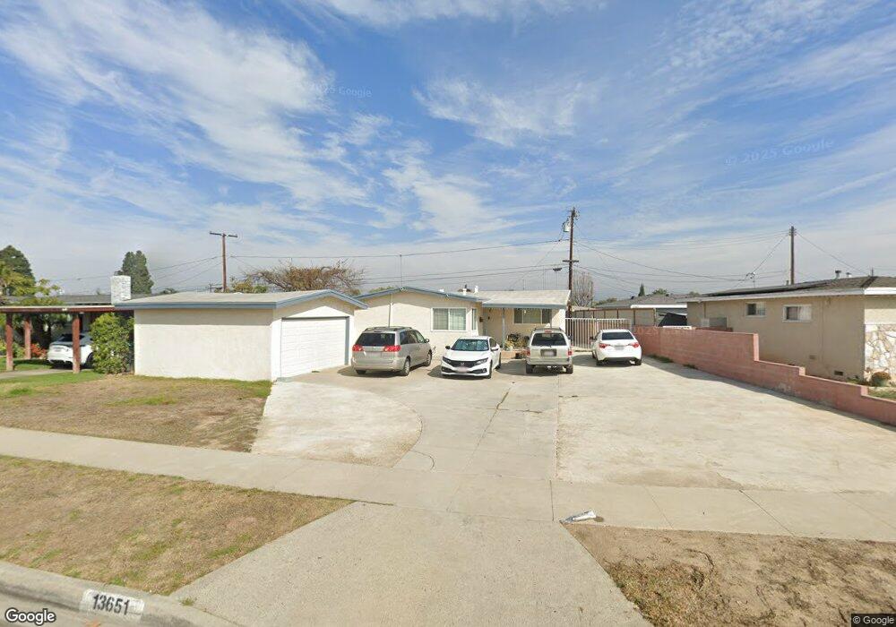
13651 Bentongrove Dr Whittier, CA 90605
South Whittier NeighborhoodEstimated Value: $713,389 - $753,000
3
Beds
1
Bath
1,034
Sq Ft
$709/Sq Ft
Est. Value
About This Home
This home is located at 13651 Bentongrove Dr, Whittier, CA 90605 and is currently estimated at $732,847, approximately $708 per square foot. 13651 Bentongrove Dr is a home located in Los Angeles County with nearby schools including California High School, Carden Academy of Whittier, and St. Gregory The Great.
Ownership History
Date
Name
Owned For
Owner Type
Purchase Details
Closed on
Nov 22, 2016
Sold by
Cruz Reynaldo J and Cruz Maria Kristina D
Bought by
Cruz Reynaldo J and Cruz Maria Kristina D
Current Estimated Value
Purchase Details
Closed on
Oct 3, 2000
Sold by
Morales Armando A and Morales Diann T
Bought by
Cruz Reynaldo Jose and Cruz Maria Kristina Dimailig
Home Financials for this Owner
Home Financials are based on the most recent Mortgage that was taken out on this home.
Original Mortgage
$150,300
Interest Rate
5.1%
Create a Home Valuation Report for This Property
The Home Valuation Report is an in-depth analysis detailing your home's value as well as a comparison with similar homes in the area
Home Values in the Area
Average Home Value in this Area
Purchase History
| Date | Buyer | Sale Price | Title Company |
|---|---|---|---|
| Cruz Reynaldo J | -- | None Available | |
| Cruz Reynaldo Jose | $167,000 | Benefit Land Title Company |
Source: Public Records
Mortgage History
| Date | Status | Borrower | Loan Amount |
|---|---|---|---|
| Previous Owner | Cruz Reynaldo Jose | $150,300 |
Source: Public Records
Tax History Compared to Growth
Tax History
| Year | Tax Paid | Tax Assessment Tax Assessment Total Assessment is a certain percentage of the fair market value that is determined by local assessors to be the total taxable value of land and additions on the property. | Land | Improvement |
|---|---|---|---|---|
| 2025 | $3,327 | $251,617 | $183,974 | $67,643 |
| 2024 | $3,327 | $246,684 | $180,367 | $66,317 |
| 2023 | $3,228 | $241,848 | $176,831 | $65,017 |
| 2022 | $3,243 | $237,107 | $173,364 | $63,743 |
| 2021 | $3,176 | $232,459 | $169,965 | $62,494 |
| 2019 | $3,119 | $225,567 | $164,925 | $60,642 |
| 2018 | $2,959 | $221,145 | $161,692 | $59,453 |
| 2016 | $2,809 | $212,560 | $155,414 | $57,146 |
| 2015 | $2,739 | $209,368 | $153,080 | $56,288 |
| 2014 | $2,715 | $205,268 | $150,082 | $55,186 |
Source: Public Records
Map
Nearby Homes
- 13752 Bentongrove Dr
- 10246 Parkinson Ave
- 10123 Lanett Ave
- 13649 Reis St
- 10849 Inez St
- 10745 Victoria Ave Unit 4
- 10745 Victoria Ave Unit 6
- 10745 Victoria Ave
- 13414 Reis St
- 11116 Leland Ave
- 9551 Barkerville Ave
- 14037 Mystic St
- 11102 Eagle Ln
- 11118 Bunker Ln
- 13856 Mulberry Dr
- 10035 Ben Hur Ave
- 11426 Newgate Ave
- 9534 Painter Ave
- 14042 Hawes St
- 13538 Lukay St
- 13643 Bentongrove Dr
- 13663 Bentongrove Dr
- 13638 Joyglen Dr
- 13644 Joyglen Dr
- 13637 Bentongrove Dr
- 13632 Joyglen Dr
- 13658 Joyglen Dr
- 13650 Bentongrove Dr
- 13644 Bentongrove Dr
- 13654 Bentongrove Dr
- 13626 Joyglen Dr
- 13631 Bentongrove Dr
- 13636 Bentongrove Dr
- 13660 Bentongrove Dr
- 13664 Bentongrove Dr
- 13670 Bentongrove Dr
- 13630 Bentongrove Dr
- 13620 Joyglen Dr
- 13521 Telegraph Rd Unit B
- 13625 Bentongrove Dr