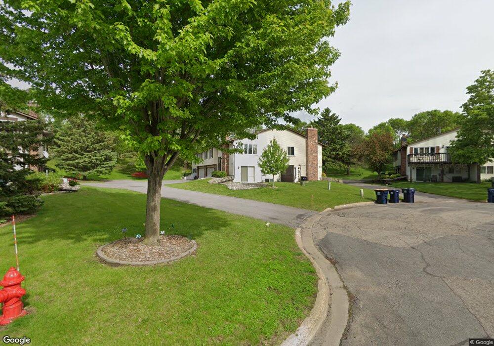
13655 Knox Dr Burnsville, MN 55337
Estimated Value: $253,149 - $268,000
2
Beds
2
Baths
1,400
Sq Ft
$186/Sq Ft
Est. Value
About This Home
This home is located at 13655 Knox Dr, Burnsville, MN 55337 and is currently estimated at $261,037, approximately $186 per square foot. 13655 Knox Dr is a home located in Dakota County with nearby schools including Gideon Pond Elementary School, Joseph Nicollet Middle School, and Burnsville High School.
Ownership History
Date
Name
Owned For
Owner Type
Purchase Details
Closed on
Jul 27, 2021
Sold by
Parker Mathew and Parker Matthew
Bought by
Parker Mathew
Current Estimated Value
Home Financials for this Owner
Home Financials are based on the most recent Mortgage that was taken out on this home.
Original Mortgage
$156,110
Outstanding Balance
$141,910
Interest Rate
2.88%
Mortgage Type
New Conventional
Estimated Equity
$119,127
Purchase Details
Closed on
Jul 1, 2015
Sold by
Otto Joyce W
Bought by
Parker Matthew
Home Financials for this Owner
Home Financials are based on the most recent Mortgage that was taken out on this home.
Original Mortgage
$149,720
Interest Rate
3.83%
Mortgage Type
New Conventional
Create a Home Valuation Report for This Property
The Home Valuation Report is an in-depth analysis detailing your home's value as well as a comparison with similar homes in the area
Home Values in the Area
Average Home Value in this Area
Purchase History
| Date | Buyer | Sale Price | Title Company |
|---|---|---|---|
| Parker Mathew | -- | Amrock | |
| Parker Matthew | $157,600 | Liberty Title |
Source: Public Records
Mortgage History
| Date | Status | Borrower | Loan Amount |
|---|---|---|---|
| Open | Parker Mathew | $156,110 | |
| Closed | Parker Matthew | $149,720 |
Source: Public Records
Tax History Compared to Growth
Tax History
| Year | Tax Paid | Tax Assessment Tax Assessment Total Assessment is a certain percentage of the fair market value that is determined by local assessors to be the total taxable value of land and additions on the property. | Land | Improvement |
|---|---|---|---|---|
| 2024 | $2,542 | $230,200 | $42,300 | $187,900 |
| 2023 | $2,542 | $237,900 | $42,400 | $195,500 |
| 2022 | $2,248 | $234,400 | $42,300 | $192,100 |
| 2021 | $2,244 | $207,000 | $36,800 | $170,200 |
| 2020 | $2,224 | $196,500 | $35,000 | $161,500 |
| 2019 | $1,955 | $187,100 | $33,400 | $153,700 |
| 2018 | $1,873 | $174,500 | $30,900 | $143,600 |
| 2017 | $1,714 | $163,800 | $28,600 | $135,200 |
| 2016 | $1,565 | $150,500 | $27,200 | $123,300 |
| 2015 | $1,399 | $110,237 | $21,510 | $88,727 |
| 2014 | -- | $102,062 | $19,805 | $82,257 |
| 2013 | -- | $85,712 | $16,793 | $68,919 |
Source: Public Records
Map
Nearby Homes
- 1701 W 138th St
- 1725 W 140th St
- 1200 W 136th St
- 1905 W 140th St
- 2104 W 140th St
- 1009 Knob Hill Rd
- 13303 Morgan Ave S
- 2408 Friendship Ln
- 13817 Thomas Ave S
- 13236 Fremont Ave S
- 13212 Fremont Ave S
- 2704 W 135th St
- 13631 Oakwood Curve
- 521 Timberland Dr
- 13147 Thomas Ave S
- 13208 Upton Ave S
- 304 Valley High Rd
- 13100 Thomas Ave S
- 1598 Summit Shores Cir
- 13840 York Ave S