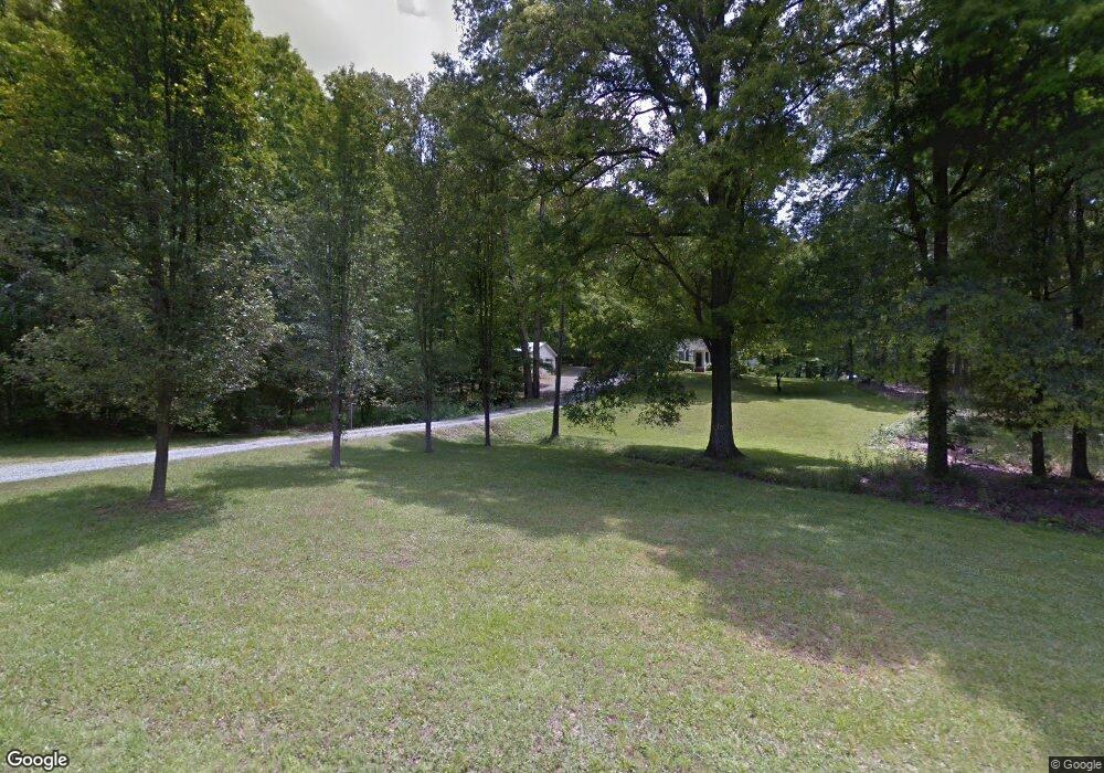
13657 Cabarrus Station Rd Midland, NC 28107
Estimated Value: $349,000 - $458,000
3
Beds
2
Baths
1,392
Sq Ft
$276/Sq Ft
Est. Value
About This Home
This home is located at 13657 Cabarrus Station Rd, Midland, NC 28107 and is currently estimated at $383,658, approximately $275 per square foot. 13657 Cabarrus Station Rd is a home located in Cabarrus County with nearby schools including Bethel Elementary School, C.C. Griffin Middle School, and Central Cabarrus High School.
Ownership History
Date
Name
Owned For
Owner Type
Purchase Details
Closed on
Aug 31, 2016
Sold by
Morrison Johnson and Morrison Lita
Bought by
Morrison Joshua W and Morrison Jessica M
Current Estimated Value
Home Financials for this Owner
Home Financials are based on the most recent Mortgage that was taken out on this home.
Original Mortgage
$166,250
Outstanding Balance
$132,879
Interest Rate
3.45%
Mortgage Type
New Conventional
Estimated Equity
$250,779
Create a Home Valuation Report for This Property
The Home Valuation Report is an in-depth analysis detailing your home's value as well as a comparison with similar homes in the area
Home Values in the Area
Average Home Value in this Area
Purchase History
| Date | Buyer | Sale Price | Title Company |
|---|---|---|---|
| Morrison Joshua W | $175,000 | None Available |
Source: Public Records
Mortgage History
| Date | Status | Borrower | Loan Amount |
|---|---|---|---|
| Open | Morrison Joshua W | $166,250 |
Source: Public Records
Tax History Compared to Growth
Tax History
| Year | Tax Paid | Tax Assessment Tax Assessment Total Assessment is a certain percentage of the fair market value that is determined by local assessors to be the total taxable value of land and additions on the property. | Land | Improvement |
|---|---|---|---|---|
| 2025 | $2,523 | $325,180 | $149,000 | $176,180 |
| 2024 | $2,523 | $325,180 | $149,000 | $176,180 |
| 2023 | $1,824 | $189,970 | $92,460 | $97,510 |
| 2022 | $1,824 | $189,970 | $92,460 | $97,510 |
| 2021 | $1,824 | $189,970 | $92,460 | $97,510 |
| 2020 | $1,824 | $189,970 | $92,460 | $97,510 |
| 2019 | $1,327 | $138,280 | $77,480 | $60,800 |
| 2018 | $1,272 | $138,280 | $77,480 | $60,800 |
| 2017 | $1,245 | $138,280 | $77,480 | $60,800 |
| 2016 | $1,245 | $153,000 | $95,920 | $57,080 |
| 2015 | $1,053 | $153,000 | $95,920 | $57,080 |
| 2014 | $1,053 | $153,000 | $95,920 | $57,080 |
Source: Public Records
Map
Nearby Homes
- 220 Alvin Hough Rd
- 12467 Ritchie Rd
- 2224 Pope Rd
- 13221 Brandywine Ln
- 12350 Hartwood Rd
- 14825 Bethel Avenue Extension
- 4112 Mcmanus Rd Unit 2
- 11855 Sam Black Rd
- 13501 Mullis Rd
- 945 Alvin Hough Rd
- 2518 Cabarrus Farms Rd
- 15670 Bethel Avenue Extension
- 12617 Hill Pine Rd
- 12639 Hill Pine Rd
- 11500 Beagle St
- 3419 Brickyard Ln
- 8913 Gosnell Dr
- 3327 Flagler Cir
- 9918 Windrow Dr
- 11925 Brief Rd
- 13635 Cabarrus Station Rd
- 13600 Cabarrus Station Rd
- 13660 Cabarrus Station Rd
- 13751 Cabarrus Station Rd
- 13585 Cabarrus Station Rd
- 850 Family Dr
- 13775 Cabarrus Station Rd
- 13561 Cabarrus Station Rd
- 13584 Cabarrus Station Rd
- 13680 Cabarrus Station Rd
- 13670 Cabarrus Station Rd
- 13813 Cabarrus Station Rd
- 13572 Cabarrus Station Rd
- 802 Family Dr
- 13531 Cabarrus Station Rd
- 13835 Cabarrus Station Rd
- 13370 Cabarrus Station Rd
- 13800 Cabarrus Station Rd
- 13550 Cabarrus Station Rd
- 660 Family Dr