13659 Barrington Ct Dubuque, IA 52003
Estimated Value: $458,000 - $488,000
5
Beds
3
Baths
3,122
Sq Ft
$151/Sq Ft
Est. Value
About This Home
This home is located at 13659 Barrington Ct, Dubuque, IA 52003 and is currently estimated at $471,840, approximately $151 per square foot. 13659 Barrington Ct is a home located in Dubuque County with nearby schools including Hoover Elementary School, Eleanor Roosevelt Middle School, and Dubuque Senior High School.
Ownership History
Date
Name
Owned For
Owner Type
Purchase Details
Closed on
Aug 3, 2015
Sold by
Carty Paul B and Carty Joanne P
Bought by
Hesselmann Tammie L
Current Estimated Value
Purchase Details
Closed on
May 16, 2014
Sold by
Schiesl Jay M and Schiesl Theresa L
Bought by
Mills Darin K and Mills Kelly L
Home Financials for this Owner
Home Financials are based on the most recent Mortgage that was taken out on this home.
Original Mortgage
$205,600
Interest Rate
4.34%
Mortgage Type
New Conventional
Create a Home Valuation Report for This Property
The Home Valuation Report is an in-depth analysis detailing your home's value as well as a comparison with similar homes in the area
Home Values in the Area
Average Home Value in this Area
Purchase History
| Date | Buyer | Sale Price | Title Company |
|---|---|---|---|
| Hesselmann Tammie L | $270,000 | None Available | |
| Mills Darin K | $257,000 | None Available |
Source: Public Records
Mortgage History
| Date | Status | Borrower | Loan Amount |
|---|---|---|---|
| Previous Owner | Mills Darin K | $205,600 |
Source: Public Records
Tax History Compared to Growth
Tax History
| Year | Tax Paid | Tax Assessment Tax Assessment Total Assessment is a certain percentage of the fair market value that is determined by local assessors to be the total taxable value of land and additions on the property. | Land | Improvement |
|---|---|---|---|---|
| 2025 | $4,992 | $449,800 | $77,900 | $371,900 |
| 2024 | $4,992 | $437,000 | $74,200 | $362,800 |
| 2023 | $4,824 | $437,000 | $74,200 | $362,800 |
| 2022 | $4,648 | $350,890 | $68,760 | $282,130 |
| 2021 | $4,648 | $350,890 | $68,760 | $282,130 |
| 2020 | $4,876 | $343,220 | $65,520 | $277,700 |
| 2019 | $4,796 | $343,220 | $65,520 | $277,700 |
| 2018 | $4,676 | $324,850 | $49,920 | $274,930 |
| 2017 | $4,526 | $324,850 | $49,920 | $274,930 |
| 2016 | $4,526 | $299,350 | $52,000 | $247,350 |
| 2015 | $4,402 | $299,350 | $52,000 | $247,350 |
| 2014 | $4,152 | $292,650 | $49,300 | $243,350 |
Source: Public Records
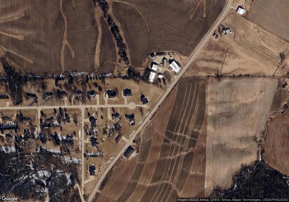
Map
Nearby Homes
- TBD2 S Boulder Brook Ct
- 6501 Boulder Brook Ct
- Lot 1 Forest Ridge Dr
- 10867 Golden Oaks Dr
- 10702 Golden Oaks Dr
- 73.43 acres Old Highway Rd
- 12925 Julien Ln
- 4223 Chavenelle Rd
- 615 Woodland Ridge
- 3558 Eclipse Cir
- 1258 Cherry Ridge Ct
- 0 Associates Dr
- 3160 Sequoia Cir
- 3280 Lake Front Dr
- LOT 20 & 21 Oakland Ridge Estates
- 1051 Barbaralee Dr
- 10869 Cedar Ridge Ct
- Lot 9 Alea Ln
- 1555 Donovan Dr
- 2207 Eldie Dr
- 13673 Barrington Ct
- 13668 Barrington Ct
- 13709 Barrington Ct
- 13708 Barrington Ct
- 11453 English Mill Rd
- 11333 English Mill Rd
- 13721 Barrington Ct
- 13751 Barrington Dr
- 13757 Barrington Dr
- 13735 Barrington Dr
- 13754 Barrington Dr
- 13785 Barrington Dr
- 13738 Barrington Dr
- 13715 Barrington Dr
- 13800 Barrington Dr
- 11556 English Mill Rd
- 13821 Barrington Dr
- 11348 Pinewood Ct
- 13706 Barrington Dr
- 13849 Barrington Dr