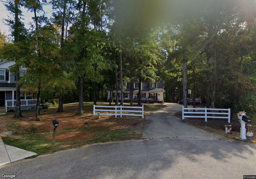
1366 Landsdown Dr Salisbury, NC 28147
Estimated Value: $246,000 - $371,000
3
Beds
3
Baths
2,205
Sq Ft
$148/Sq Ft
Est. Value
About This Home
This home is located at 1366 Landsdown Dr, Salisbury, NC 28147 and is currently estimated at $327,333, approximately $148 per square foot. 1366 Landsdown Dr is a home located in Rowan County with nearby schools including Hurley Elementary School, Knox Middle School, and North Rowan Middle School.
Ownership History
Date
Name
Owned For
Owner Type
Purchase Details
Closed on
Jan 22, 2025
Sold by
Hill Gary and Hill Kristi
Bought by
Hill Gary and Hill Kristi
Current Estimated Value
Home Financials for this Owner
Home Financials are based on the most recent Mortgage that was taken out on this home.
Original Mortgage
$297,924
Outstanding Balance
$295,819
Interest Rate
6.72%
Mortgage Type
FHA
Estimated Equity
$31,514
Purchase Details
Closed on
Jan 19, 2024
Sold by
Hill Amanda and Hill Cole
Bought by
Hill Gary
Home Financials for this Owner
Home Financials are based on the most recent Mortgage that was taken out on this home.
Original Mortgage
$202,950
Interest Rate
6.95%
Mortgage Type
New Conventional
Purchase Details
Closed on
May 9, 2003
Bought by
Hill Gary Wayne
Create a Home Valuation Report for This Property
The Home Valuation Report is an in-depth analysis detailing your home's value as well as a comparison with similar homes in the area
Home Values in the Area
Average Home Value in this Area
Purchase History
| Date | Buyer | Sale Price | Title Company |
|---|---|---|---|
| Hill Gary | -- | None Listed On Document | |
| Hill Gary | -- | None Listed On Document | |
| Hill Gary Wayne | $26,000 | -- |
Source: Public Records
Mortgage History
| Date | Status | Borrower | Loan Amount |
|---|---|---|---|
| Open | Hill Gary | $297,924 | |
| Previous Owner | Hill Gary | $202,950 |
Source: Public Records
Tax History Compared to Growth
Tax History
| Year | Tax Paid | Tax Assessment Tax Assessment Total Assessment is a certain percentage of the fair market value that is determined by local assessors to be the total taxable value of land and additions on the property. | Land | Improvement |
|---|---|---|---|---|
| 2025 | $1,732 | $255,628 | $30,870 | $224,758 |
| 2024 | $1,732 | $255,628 | $30,870 | $224,758 |
| 2023 | $1,732 | $255,628 | $30,870 | $224,758 |
| 2022 | $1,291 | $171,031 | $24,990 | $146,041 |
| 2021 | $1,278 | $171,031 | $24,990 | $146,041 |
| 2020 | $1,278 | $171,031 | $24,990 | $146,041 |
| 2019 | $1,278 | $171,031 | $24,990 | $146,041 |
| 2018 | $1,145 | $154,418 | $24,990 | $129,428 |
| 2017 | $1,145 | $154,418 | $24,990 | $129,428 |
| 2016 | $1,145 | $154,418 | $24,990 | $129,428 |
| 2015 | $1,158 | $154,418 | $24,990 | $129,428 |
| 2014 | $1,118 | $156,392 | $24,990 | $131,402 |
Source: Public Records
Map
Nearby Homes
- 223 Wendover Dr
- 151 Falling Up Ln
- 145 Falling Up Ln
- 121 Falling Up Ln
- 133 Falling Up Ln
- 136 Early Bird Ln
- 130 Early Bird Ln
- 157 Falling Up Ln
- 142 Early Bird Ln
- 150 Early Bird Ln
- 163 Falling Up Ln
- 127 Falling Up Ln
- 146 Falling Up Ln
- 152 Falling Up Ln
- Robie Plan at Silverstein
- Hayden Plan at Silverstein
- Aria Plan at Silverstein
- Penwell Plan at Silverstein
- 1358 Landsdown Dr
- 1339 Landsdown Dr
- 1327 Landsdown Dr
- 1344 Landsdown Dr
- 1320 Landsdown Dr
- 1299 Landsdown Dr
- 1084 Parkside Dr Unit 37
- 1296 Landsdown Dr
- 1279 Landsdown Dr
- 1048 Parkside Dr
- 1278 Landsdown Dr
- 1026 Parkside Dr
- 1261 Landsdown Dr
- 1008 Parkside Dr
- 1093 Parkside Dr Unit 35
- 1246 Landsdown Dr
- 1071 Parkside Dr
- 1071 Parkside Dr Unit 33
- 1045 Parkside Dr
- 1083 Parkside Dr Unit 34