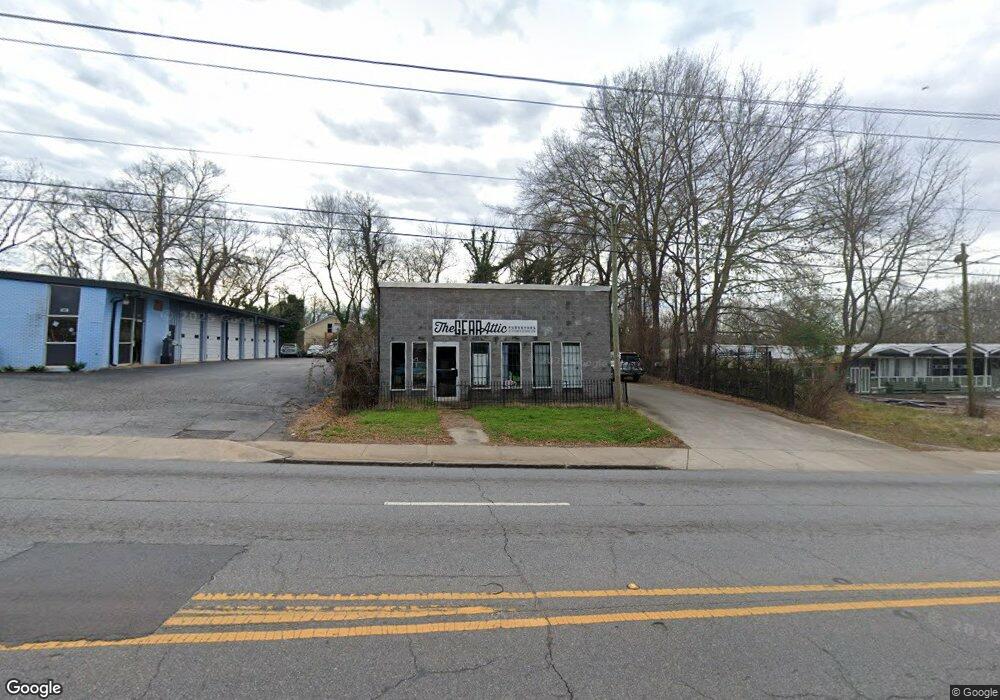
1367 W Broad St Athens, GA 30606
Baxter NeighborhoodEstimated Value: $397,679
--
Bed
--
Bath
2,280
Sq Ft
$174/Sq Ft
Est. Value
About This Home
This home is located at 1367 W Broad St, Athens, GA 30606 and is currently estimated at $397,679, approximately $174 per square foot. 1367 W Broad St is a home located in Clarke County with nearby schools including Bettye Henderson Holston Elementary School, Clarke Middle School, and Clarke Central High School.
Ownership History
Date
Name
Owned For
Owner Type
Purchase Details
Closed on
Sep 29, 2015
Sold by
Murphy Eric
Bought by
Peeshwank Llc
Current Estimated Value
Purchase Details
Closed on
Jun 22, 2015
Sold by
Rice Marcus W
Bought by
Murphy Eric P
Home Financials for this Owner
Home Financials are based on the most recent Mortgage that was taken out on this home.
Original Mortgage
$136,000
Interest Rate
3.89%
Mortgage Type
New Conventional
Purchase Details
Closed on
Apr 26, 2002
Bought by
Rice Marcus W
Purchase Details
Closed on
Feb 13, 2002
Sold by
Martin Miles E
Purchase Details
Closed on
Dec 26, 2001
Sold by
Martin Shirley A
Bought by
Martin Miles E
Purchase Details
Closed on
May 19, 2000
Sold by
Byrd Louise Mason
Bought by
Martin Shirley A
Create a Home Valuation Report for This Property
The Home Valuation Report is an in-depth analysis detailing your home's value as well as a comparison with similar homes in the area
Home Values in the Area
Average Home Value in this Area
Purchase History
| Date | Buyer | Sale Price | Title Company |
|---|---|---|---|
| Peeshwank Llc | -- | -- | |
| Murphy Eric P | $160,500 | -- | |
| Rice Marcus W | -- | -- | |
| -- | $45,000 | -- | |
| Martin Miles E | -- | -- | |
| Martin Shirley A | $35,000 | -- |
Source: Public Records
Mortgage History
| Date | Status | Borrower | Loan Amount |
|---|---|---|---|
| Previous Owner | Murphy Eric P | $136,000 |
Source: Public Records
Tax History Compared to Growth
Tax History
| Year | Tax Paid | Tax Assessment Tax Assessment Total Assessment is a certain percentage of the fair market value that is determined by local assessors to be the total taxable value of land and additions on the property. | Land | Improvement |
|---|---|---|---|---|
| 2025 | $2,563 | $82,558 | $24,472 | $58,086 |
| 2024 | $2,580 | $82,558 | $24,472 | $58,086 |
| 2023 | $2,580 | $82,558 | $24,472 | $58,086 |
| 2022 | $2,276 | $71,341 | $24,472 | $46,869 |
| 2021 | $2,361 | $70,053 | $23,184 | $46,869 |
| 2020 | $2,196 | $65,174 | $23,184 | $41,990 |
| 2019 | $2,213 | $65,174 | $23,184 | $41,990 |
| 2018 | $2,213 | $65,174 | $23,184 | $41,990 |
| 2017 | $2,213 | $65,174 | $23,184 | $41,990 |
| 2015 | $1,764 | $51,895 | $23,184 | $28,711 |
| 2014 | $1,767 | $51,895 | $23,184 | $28,711 |
Source: Public Records
Map
Nearby Homes
- 1226 W Broad St
- 1398 W Hancock Ave
- 597 Dearing St
- 1198 W West Hancock Ave W
- 1196 W Hancock Ave Unit 1
- 480 N Billups St
- 500 Dearing St Unit 6
- 525 King Ave
- 283 King Ave
- 1055 Baxter St Unit 504
- 552 Cobb St
- 338 Springdale St
- 468 N Milledge Ave Unit 203
- 100 Crestview Cir
- 265 Springdale St
- 145 Sunset Dr
- 206 Fortson Dr
- 365 S Church St Unit 1A, 1B, 1C
- 224 Fortson Dr
- 215 Holman Ave
- 1347 W Broad St
- 175 Miller St
- 160 S Rocksprings St
- 160 Miller St
- 170 Miller St
- 1457 W Broad St
- 180 Miller St
- 190 S Rocksprings St
- 1293 W Broad St
- 140 N Rocksprings St
- 198 S Rocksprings St
- 126 N Rocksprings St
- 1280 W Broad St
- S S Rocksprings St
- 1460 W Broad St Unit A
- 1462 W Broad St Unit B
- E W Broad St Unit 705
- E W Broad St Unit 620
- E W Broad St Unit 508