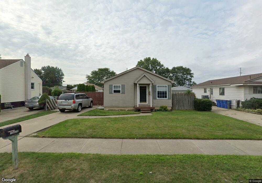
13670 Harold Ave Warren, MI 48089
Southeast Warren NeighborhoodEstimated Value: $135,000 - $203,000
3
Beds
1
Bath
1,000
Sq Ft
$164/Sq Ft
Est. Value
About This Home
This home is located at 13670 Harold Ave, Warren, MI 48089 and is currently estimated at $163,871, approximately $163 per square foot. 13670 Harold Ave is a home located in Macomb County with nearby schools including Warren Woods Tower High School and Macomb Montessori Academy.
Ownership History
Date
Name
Owned For
Owner Type
Purchase Details
Closed on
Mar 22, 2011
Sold by
Secretary Of Housing & Urban Development
Bought by
Hicks Christopher
Current Estimated Value
Home Financials for this Owner
Home Financials are based on the most recent Mortgage that was taken out on this home.
Original Mortgage
$36,062
Interest Rate
4.63%
Mortgage Type
FHA
Purchase Details
Closed on
Jul 9, 2010
Sold by
Wells Fargo Bank Na
Bought by
The Secretary Of Housing & Urban Develop
Purchase Details
Closed on
Jan 8, 2010
Sold by
Long William and Long Stacy L
Bought by
Wells Fargo Bank Na
Purchase Details
Closed on
Jul 30, 2001
Sold by
Federighe Tracy A
Bought by
Long William
Purchase Details
Closed on
Oct 30, 1997
Sold by
Oliver J and Oliver L
Bought by
Federighe T
Purchase Details
Closed on
Mar 29, 1996
Sold by
Borst G and Borst R
Bought by
Oliver J
Create a Home Valuation Report for This Property
The Home Valuation Report is an in-depth analysis detailing your home's value as well as a comparison with similar homes in the area
Home Values in the Area
Average Home Value in this Area
Purchase History
| Date | Buyer | Sale Price | Title Company |
|---|---|---|---|
| Hicks Christopher | $37,000 | None Available | |
| The Secretary Of Housing & Urban Develop | -- | None Available | |
| Wells Fargo Bank Na | $140,884 | None Available | |
| Long William | $128,500 | -- | |
| Federighe T | $89,000 | -- | |
| Oliver J | $15,000 | -- |
Source: Public Records
Mortgage History
| Date | Status | Borrower | Loan Amount |
|---|---|---|---|
| Previous Owner | Hicks Christopher | $36,062 |
Source: Public Records
Tax History
| Year | Tax Paid | Tax Assessment Tax Assessment Total Assessment is a certain percentage of the fair market value that is determined by local assessors to be the total taxable value of land and additions on the property. | Land | Improvement |
|---|---|---|---|---|
| 2025 | $2,393 | $76,540 | $0 | $0 |
| 2024 | $23 | $71,640 | $0 | $0 |
| 2023 | $2,207 | $70,510 | $0 | $0 |
| 2022 | $2,164 | $56,160 | $0 | $0 |
| 2021 | $2,123 | $53,500 | $0 | $0 |
| 2020 | $2,035 | $51,830 | $0 | $0 |
| 2019 | $1,944 | $51,280 | $0 | $0 |
| 2018 | $58 | $43,070 | $0 | $0 |
| 2017 | $1,857 | $42,570 | $5,250 | $37,320 |
| 2016 | $1,842 | $42,570 | $0 | $0 |
| 2015 | -- | $40,400 | $0 | $0 |
| 2012 | -- | $36,690 | $0 | $0 |
Source: Public Records
Map
Nearby Homes
- 13653 Brainbridge Ave
- 0000 Frazho Rd
- 13801 Frazho Rd
- 25237 Malvina Ave
- 13696 Harthill Ave
- 13850 Hartill Ave
- 13203 Frazho Rd
- 12922 Heritage S Unit 54
- 26640 Schoenherr Rd
- 24831 Cottage Ln
- 26703 Dover Ct
- 25653 Palomino Ave
- 24450 Groesbeck Hwy
- 25769 Village Ln Unit 18
- 25883 Village Ln Unit 9
- 24624 Melody Rd
- 25520 Marilyn Ave
- 25815 Firwood Ave
- 14670 Shirley Ave
- 12954 Baird Ave
- 13650 Harold Ave
- 13680 Harold Ave
- 13640 Harold Ave
- 13690 Harold Ave
- 13689 Brainbridge Ave Unit Bldg-Unit
- 13689 Brainbridge Ave
- 13677 Brainbridge Ave
- 13701 Brainbridge Ave
- 13665 Brainbridge Ave
- 13700 Harold Ave
- 13638 Harold Ave
- 13711 Brainbridge Ave
- 13653 Harold Ave
- 48731 Hayes Rd Harold Ave
- 13673 Harold Ave
- 13712 Harold Ave
- 13643 Harold Ave
- 13723 Brainbridge Ave
- 13637 Harold Ave
- 13705 Harold Ave
Your Personal Tour Guide
Ask me questions while you tour the home.