1368 Forest Grove Rd Furlong, PA 18925
Estimated Value: $1,062,000 - $2,685,861
5
Beds
5
Baths
5,494
Sq Ft
$295/Sq Ft
Est. Value
About This Home
This home is located at 1368 Forest Grove Rd, Furlong, PA 18925 and is currently estimated at $1,622,954, approximately $295 per square foot. 1368 Forest Grove Rd is a home located in Bucks County with nearby schools including Bridge Valley Elementary School, Holicong Middle School, and Central Bucks High School - East.
Ownership History
Date
Name
Owned For
Owner Type
Purchase Details
Closed on
Mar 29, 2006
Sold by
Schrade Frederique R
Bought by
Doan William Terry
Current Estimated Value
Home Financials for this Owner
Home Financials are based on the most recent Mortgage that was taken out on this home.
Original Mortgage
$1,200,000
Outstanding Balance
$719,897
Interest Rate
6.28%
Mortgage Type
Construction
Estimated Equity
$903,057
Purchase Details
Closed on
Jun 17, 2003
Sold by
Schrade Richard D C and Schrade Frederique R
Bought by
Schrade Frederique R and Richard D C & Frederique R Schrade 2003
Create a Home Valuation Report for This Property
The Home Valuation Report is an in-depth analysis detailing your home's value as well as a comparison with similar homes in the area
Home Values in the Area
Average Home Value in this Area
Purchase History
| Date | Buyer | Sale Price | Title Company |
|---|---|---|---|
| Doan William Terry | $620,000 | None Available | |
| Schrade Frederique R | -- | -- |
Source: Public Records
Mortgage History
| Date | Status | Borrower | Loan Amount |
|---|---|---|---|
| Open | Doan William Terry | $1,200,000 |
Source: Public Records
Tax History Compared to Growth
Tax History
| Year | Tax Paid | Tax Assessment Tax Assessment Total Assessment is a certain percentage of the fair market value that is determined by local assessors to be the total taxable value of land and additions on the property. | Land | Improvement |
|---|---|---|---|---|
| 2025 | $18,114 | $111,260 | $24,930 | $86,330 |
| 2024 | $18,114 | $111,260 | $24,930 | $86,330 |
| 2023 | $17,500 | $111,260 | $24,930 | $86,330 |
| 2022 | $17,291 | $111,260 | $24,930 | $86,330 |
| 2021 | $17,084 | $111,260 | $24,930 | $86,330 |
| 2020 | $17,084 | $111,260 | $24,930 | $86,330 |
| 2019 | $16,973 | $111,260 | $24,930 | $86,330 |
| 2018 | $16,973 | $111,260 | $24,930 | $86,330 |
| 2017 | $16,372 | $108,210 | $24,930 | $83,280 |
| 2016 | $16,534 | $108,210 | $24,930 | $83,280 |
| 2015 | -- | $108,210 | $24,930 | $83,280 |
| 2014 | -- | $108,210 | $24,930 | $83,280 |
Source: Public Records
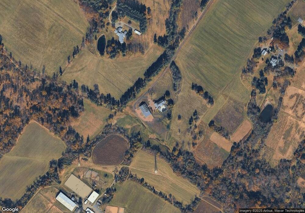
Map
Nearby Homes
- 1221 Creek Rd
- 4549 Lower Mountain Rd
- 0 Old York Rd Unit PABU2103356
- 1948 Forest Grove Rd
- 377 Spring Meadow Cir
- 214 Dove Ct
- 1515 Sugar Bottom Rd
- 191 Cardinal Ct S
- 158 Grouse Cir
- 2080 Bedfordshire Rd
- 183 Spring Meadow Cir
- 529 Honeysuckle Ct
- 148 Raven Ct
- 4448 Lower Mountain Rd
- 561 Spring Meadow Cir
- 2209 Swamp Rd
- 3657 Powder Horn Dr
- 1908 Durham Rd
- 880 Macclesfield Rd
- 3772 Powder Horn Dr
- 1260 Forest Grove Rd
- 1395 Swamp Rd
- 1391 Forest Grove Rd
- 1419 Forest Grove Rd
- 1285 Forest Grove Rd
- 1283 Forest Grove Rd
- 1451 Forest Grove Rd
- 1409 Forest Grove Rd
- 3814 Dark Hollow Rd Unit BARN2
- 3814 Dark Hollow Rd
- 1189 Swamp Rd
- 1212 Forest Grove Rd
- 1493 Forest Grove Rd
- 1437 Forest Grove Rd
- 1569 Forest Grove Rd
- 1180 Forest Grove Rd
- 3609 Creamery Rd
- 0 Forest Grove Rd Unit 5398468
- 0 Forest Grove Rd Unit 5737502
- L38-001 Forest Grove Rd