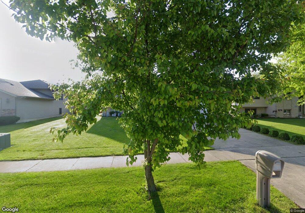
1368 Jacob Dr Crown Point, IN 46307
Estimated Value: $330,000 - $411,000
5
Beds
2
Baths
2,839
Sq Ft
$133/Sq Ft
Est. Value
About This Home
This home is located at 1368 Jacob Dr, Crown Point, IN 46307 and is currently estimated at $378,665, approximately $133 per square foot. 1368 Jacob Dr is a home located in Lake County with nearby schools including Timothy Ball Elementary School, Colonel John Wheeler Middle School, and Crown Point High School.
Ownership History
Date
Name
Owned For
Owner Type
Purchase Details
Closed on
Aug 10, 2005
Sold by
Quesada Ralph and Quesada Amy
Bought by
Olazaba Jaime and Olazaba Rose Mary
Current Estimated Value
Home Financials for this Owner
Home Financials are based on the most recent Mortgage that was taken out on this home.
Original Mortgage
$166,320
Outstanding Balance
$88,155
Interest Rate
5.8%
Mortgage Type
Fannie Mae Freddie Mac
Estimated Equity
$290,510
Purchase Details
Closed on
Dec 10, 2004
Sold by
Gresham Ii Robert P and Gresham Melissa A
Bought by
Quesada Ralph and Quesada Amy
Home Financials for this Owner
Home Financials are based on the most recent Mortgage that was taken out on this home.
Original Mortgage
$19,590
Interest Rate
5.9%
Mortgage Type
Purchase Money Mortgage
Create a Home Valuation Report for This Property
The Home Valuation Report is an in-depth analysis detailing your home's value as well as a comparison with similar homes in the area
Home Values in the Area
Average Home Value in this Area
Purchase History
| Date | Buyer | Sale Price | Title Company |
|---|---|---|---|
| Olazaba Jaime | -- | Ticor | |
| Quesada Ralph | -- | Indiana Title Network Co |
Source: Public Records
Mortgage History
| Date | Status | Borrower | Loan Amount |
|---|---|---|---|
| Open | Olazaba Jaime | $166,320 | |
| Previous Owner | Quesada Ralph | $19,590 |
Source: Public Records
Tax History Compared to Growth
Tax History
| Year | Tax Paid | Tax Assessment Tax Assessment Total Assessment is a certain percentage of the fair market value that is determined by local assessors to be the total taxable value of land and additions on the property. | Land | Improvement |
|---|---|---|---|---|
| 2024 | $7,904 | $318,000 | $51,000 | $267,000 |
| 2023 | $3,185 | $287,600 | $51,000 | $236,600 |
| 2022 | $2,948 | $266,300 | $51,000 | $215,300 |
| 2021 | $2,793 | $252,500 | $42,300 | $210,200 |
| 2020 | $2,787 | $252,100 | $42,300 | $209,800 |
| 2019 | $2,813 | $250,400 | $42,300 | $208,100 |
| 2018 | $3,279 | $244,200 | $42,300 | $201,900 |
| 2017 | $3,066 | $229,100 | $42,300 | $186,800 |
| 2016 | $3,015 | $222,900 | $42,300 | $180,600 |
| 2014 | $2,690 | $215,400 | $42,200 | $173,200 |
| 2013 | $2,649 | $211,000 | $42,300 | $168,700 |
Source: Public Records
Map
Nearby Homes
- 1305 Westbrook Dr
- 1215 Westbrook Ct
- 10224 Madison St
- 1343 Prairie Dr
- 1366 Parke Dr
- 1342 Parke Dr
- 1235 W 99th Ave
- 1558 W 99th Ave
- 9745 Tyler St
- 921 Cedar Dr
- 1702 W 100th Ave
- 1368 Lehman Dr
- 1735 W 98th Place
- 1407 Tyler Ct
- 1835 W 99th Ave
- 9618 Jackson Ct
- 9650-52 Johnson St
- 9642 Johnson St Unit 44
- 9634 Luebcke Ln
- 12805 Grant St
- 1378 Jacob Dr
- 1358 Jacob Dr
- 1348 Jacob Dr
- 1388 Jacob Dr
- 1205 Center Ross Rd
- 1345 Westbrook Dr
- 1335 Westbrook Dr
- 1367 Jacob Dr
- 1338 Jacob Dr
- 1357 Jacob Dr
- 1377 Jacob Dr
- 1211 Center Ross Rd
- 1347 Jacob Dr
- 1387 Jacob Dr
- 1328 Jacob Dr
- 1218 Creekview Dr
- 1337 Jacob Dr
- 1355 Westbrook Dr
- 1217 Center Ross Rd
- 1325 Westbrook Dr
