
Seller's Agent in 2020
Cathy Wantz
Real Estate Today
(301) 992-1213
1 in this area
83 Total Sales

Estimated Value: $429,000 - $4,269,586
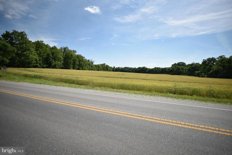
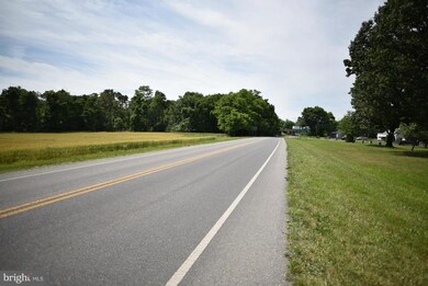
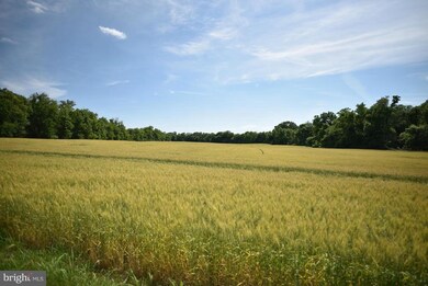
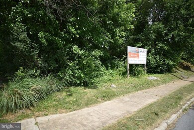
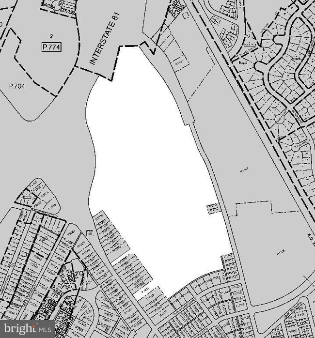
68.64 acres zoned RMOD, great subdivision potential backing Interstate 81. This also includes two access parcels fronting Salem Ave. Zoning permits planned unit development "PUD".
Property Type
Est. Annual Taxes
Lot Details
Utilities
Community Details
Listing and Financial Details
| Date | Buyer | Sale Price | Title Company |
|---|---|---|---|
| Wolfe Adrian I | -- | None Available | |
| Wolfe Gail H | -- | -- | |
| Wolfe Gail H | -- | -- |
| Date | Status | Borrower | Loan Amount |
|---|---|---|---|
| Open | Pb Hagerstown Owner Llc | $10,000,000 | |
| Closed | Pb Hagerston Owner Llc | $3,635,000 |
| Date | Event | Price | Change | Sq Ft Price |
|---|---|---|---|---|
| 12/23/2020 12/23/20 | Sold | $3,000,000 | -51.6% | -- |
| 03/31/2014 03/31/14 | For Sale | $6,200,000 | -- | -- |
| Year | Tax Paid | Tax Assessment Tax Assessment Total Assessment is a certain percentage of the fair market value that is determined by local assessors to be the total taxable value of land and additions on the property. | Land | Improvement |
|---|---|---|---|---|
| 2024 | $11,752 | $1,290,000 | $1,290,000 | $0 |
| 2023 | $25,122 | $2,745,600 | $2,745,600 | $0 |
| 2022 | $25,012 | $2,745,600 | $2,745,600 | $0 |
| 2021 | $27,511 | $2,745,600 | $2,745,600 | $0 |
| 2020 | $782 | $84,000 | $84,000 | $0 |
| 2019 | $785 | $84,000 | $84,000 | $0 |
| 2018 | $842 | $84,000 | $84,000 | $0 |
| 2017 | $879 | $84,000 | $0 | $0 |
| 2016 | -- | $94,000 | $0 | $0 |
| 2015 | $1,612 | $94,000 | $0 | $0 |
| 2014 | $1,612 | $94,000 | $0 | $0 |
Seller's Agent in 2020
Cathy Wantz
Real Estate Today
(301) 992-1213
1 in this area
83 Total Sales
Seller Co-Listing Agent in 2020
Toby Wantz
Real Estate Today
(301) 791-9046
6 in this area
135 Total Sales
Buyer's Agent in 2020
Daniel Corr
Washington Fine Properties, LLC
(202) 494-3530
1 in this area
53 Total Sales
Source: Bright MLS
MLS Number: 1000070105
APN: 25-009371
Disclaimer: Certain information contained herein is derived from information provided by parties other than Homes.com. All information provided is deemed reliable, but is not guaranteed to be accurate and should be independently verified.
![]() The data relating to real estate for sale on this website appears in part through the BRIGHT Internet Data Exchange program, a voluntary cooperative exchange of property listing data between licensed real estate brokerage firms, and is provided by BRIGHT through a licensing agreement.
The data relating to real estate for sale on this website appears in part through the BRIGHT Internet Data Exchange program, a voluntary cooperative exchange of property listing data between licensed real estate brokerage firms, and is provided by BRIGHT through a licensing agreement.
Listing information is from various brokers who participate in the Bright MLS IDX program and not all listings may be visible on the site.
The property information being provided on or through the website is for the personal, non-commercial use of consumers and such information may not be used for any purpose other than to identify prospective properties consumers may be interested in purchasing.
Some properties which appear for sale on the website may no longer be available because they are for instance, under contract, sold or are no longer being offered for sale.
Property information displayed is deemed reliable but is not guaranteed.
Copyright 2025 Bright MLS, Inc.