1369 Park Rd Waukon, IA 52172
Estimated Value: $241,000 - $371,233
3
Beds
2
Baths
1,200
Sq Ft
$259/Sq Ft
Est. Value
About This Home
This home is located at 1369 Park Rd, Waukon, IA 52172 and is currently estimated at $310,558, approximately $258 per square foot. 1369 Park Rd is a home located in Allamakee County with nearby schools including West Campus Elementary School, East Campus Elementary School, and Waukon Middle School.
Ownership History
Date
Name
Owned For
Owner Type
Purchase Details
Closed on
May 18, 2020
Sold by
Estate Of James Michael Hall
Bought by
Hall Marianne
Current Estimated Value
Create a Home Valuation Report for This Property
The Home Valuation Report is an in-depth analysis detailing your home's value as well as a comparison with similar homes in the area
Home Values in the Area
Average Home Value in this Area
Purchase History
| Date | Buyer | Sale Price | Title Company |
|---|---|---|---|
| Hall Marianne | -- | None Available |
Source: Public Records
Tax History Compared to Growth
Tax History
| Year | Tax Paid | Tax Assessment Tax Assessment Total Assessment is a certain percentage of the fair market value that is determined by local assessors to be the total taxable value of land and additions on the property. | Land | Improvement |
|---|---|---|---|---|
| 2025 | -- | $338,400 | $31,200 | $307,200 |
| 2024 | -- | $307,100 | $31,200 | $275,900 |
| 2023 | -- | $307,100 | $31,200 | $275,900 |
| 2022 | $0 | $100,400 | $31,200 | $69,200 |
| 2021 | $958 | $100,400 | $31,200 | $69,200 |
| 2020 | $958 | $91,300 | $28,400 | $62,900 |
| 2019 | $958 | $85,400 | $0 | $0 |
| 2018 | $924 | $85,400 | $0 | $0 |
| 2017 | $924 | $78,700 | $0 | $0 |
| 2016 | $840 | $78,700 | $0 | $0 |
| 2015 | $840 | $78,700 | $0 | $0 |
| 2014 | $824 | $78,700 | $0 | $0 |
Source: Public Records
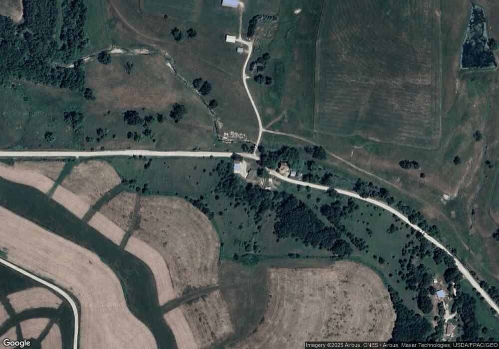
Map
Nearby Homes
- 525 4th St SE
- 104 6th Ave SW
- 22 3rd Ave SE
- 0 SW 11th Ave Unit 20222752
- Allamakee Co. Ia Parcel Id#
- 310 1st Ave NE
- 306 Sw St
- 0 Parcel Id#1031351007 Unit 20211899
- 0 Parcel Id#1506100051 Unit 20211897
- 0 Parcel Id#1031376012 Unit 20211905
- 0 Parcel Id#1031376013 Unit 20211902
- 0 Parcel Id#1031351004 Unit 20211906
- 0 Parcel Id#1031376005 Unit 20211907
- 0 Parcel Id#1031351006 Unit 20211900
- 208 4th St SW
- 303 5th St SW
- 605 1st Ave SW
- 607 W Main St
- 602 2nd St NW
- 821 4th St NW
- 1374 Park Rd
- 1429 Park Rd
- 1810 Old Threshing Rd
- 310 13th Ave SE
- 310 13th Ave SE
- 1111 Four Corners Rd SE
- 1111 Four Corners Rd SE
- 1843 Old Threshing Rd
- 1609 Park Rd
- 527 7th Ave SE
- 443 7th Ave SE
- 1328 Rossville Rd
- 403 7th Ave SE
- 1324 Rossville Rd
- 575 4th St SE
- 310 7th Ave SE
- 549 4th St SE
- 306 7th Ave SE
- 0 Rossville Rd Unit 5727615
- 530 5th St SE