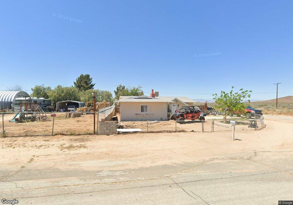
13693 Flint St Edwards, CA 93523
Estimated Value: $115,000 - $159,000
2
Beds
2
Baths
1,050
Sq Ft
$135/Sq Ft
Est. Value
About This Home
This home is located at 13693 Flint St, Edwards, CA 93523 and is currently estimated at $141,427, approximately $134 per square foot. 13693 Flint St is a home located in Kern County with nearby schools including West Boron Elementary School and Boron Junior/Senior High School.
Ownership History
Date
Name
Owned For
Owner Type
Purchase Details
Closed on
Sep 10, 2013
Sold by
Holm Knut E
Bought by
Green Kelton
Current Estimated Value
Purchase Details
Closed on
Nov 16, 2005
Sold by
Holm Palmer Olaf
Bought by
Palmer O & Inez N Holm Family Trust
Purchase Details
Closed on
Jun 15, 2005
Sold by
Walsh Rice Don Steven and Walsh Rice Kathleen
Bought by
Holm Palmer Olaf
Create a Home Valuation Report for This Property
The Home Valuation Report is an in-depth analysis detailing your home's value as well as a comparison with similar homes in the area
Home Values in the Area
Average Home Value in this Area
Purchase History
| Date | Buyer | Sale Price | Title Company |
|---|---|---|---|
| Green Kelton | $28,500 | Fidelity National Title Co | |
| Palmer O & Inez N Holm Family Trust | -- | Public | |
| Holm Palmer Olaf | $89,500 | Chicago Title |
Source: Public Records
Tax History
| Year | Tax Paid | Tax Assessment Tax Assessment Total Assessment is a certain percentage of the fair market value that is determined by local assessors to be the total taxable value of land and additions on the property. | Land | Improvement |
|---|---|---|---|---|
| 2025 | $593 | $34,924 | $6,123 | $28,801 |
| 2024 | $576 | $34,240 | $6,003 | $28,237 |
| 2023 | $576 | $33,570 | $5,886 | $27,684 |
| 2022 | $547 | $32,913 | $5,771 | $27,142 |
| 2021 | $481 | $32,268 | $5,658 | $26,610 |
| 2020 | $450 | $31,938 | $5,600 | $26,338 |
| 2019 | $444 | $31,938 | $5,600 | $26,338 |
| 2018 | $437 | $30,700 | $5,384 | $25,316 |
| 2017 | $437 | $30,099 | $5,279 | $24,820 |
| 2016 | $403 | $29,510 | $5,176 | $24,334 |
| 2015 | $398 | $29,068 | $5,099 | $23,969 |
| 2014 | $391 | $28,500 | $5,000 | $23,500 |
Source: Public Records
Map
Nearby Homes
- 13656 Margo St
- 0 Fran St Unit 25005376
- 0 Fran St Unit IV25156482
- 13445 Fran St
- 0 Margo St Unit 22008917
- 0 Margo St Unit 22008918
- 0 Margo St Unit IV25156505
- 0 Margo St Unit IV25156491
- 0 Margo St Unit 25005379
- 0 Margo St Unit 25005385
- 13325 Margo St
- 0 Unit 26000727
- 0 Schultz Rd
- 17000 Suckow Rd
- 0 N Suckow Rd Unit HD25281647
- 16785 Deserita Ave
- 16768 Monterey Ave
- 16873 Alexander Ave
- 0 233-311-19 Fran St
- 0 Sec 04 Twn 11 Rng 09 Unit 202601484
- 13680 Margo St
- 13669 Flint St
- 13657 Flint St
- 13693 Margo St
- 13692 Gilbert St
- 13621 Flint St
- 13668 Gilbert St
- 13658 Gilbert St
- 13609 Flint St
- 13621 Margo St
- 0 Bernard Ave Unit 18-330348
- 1 Bernard St
- 13632 Gilbert St
- 0 Gilbert St Unit 202301162
- 0 Gilbert St Unit 246856
- 0 Gilbert St Unit 246852
- 0 Gilbert St Unit 278094
- 0 Gilbert St Unit 278076
- 0 Gilbert St Unit 278073
- 0 Gilbert St Unit 294502
Your Personal Tour Guide
Ask me questions while you tour the home.