13695 I Ave Wapello, IA 52653
Estimated Value: $292,000 - $425,000
3
Beds
2
Baths
1,663
Sq Ft
$216/Sq Ft
Est. Value
About This Home
This home is located at 13695 I Ave, Wapello, IA 52653 and is currently estimated at $358,500, approximately $215 per square foot. 13695 I Ave is a home located in Louisa County with nearby schools including Louisa-Muscatine Elementary School and Louisa-Muscatine High School.
Ownership History
Date
Name
Owned For
Owner Type
Purchase Details
Closed on
Jul 16, 2007
Sold by
Brase Tom and Brase Christine
Bought by
Hines James C and Henderson Phyllis
Current Estimated Value
Home Financials for this Owner
Home Financials are based on the most recent Mortgage that was taken out on this home.
Original Mortgage
$184,000
Outstanding Balance
$28,895
Interest Rate
6.76%
Mortgage Type
New Conventional
Estimated Equity
$329,605
Create a Home Valuation Report for This Property
The Home Valuation Report is an in-depth analysis detailing your home's value as well as a comparison with similar homes in the area
Home Values in the Area
Average Home Value in this Area
Purchase History
| Date | Buyer | Sale Price | Title Company |
|---|---|---|---|
| Hines James C | $230,000 | None Available |
Source: Public Records
Mortgage History
| Date | Status | Borrower | Loan Amount |
|---|---|---|---|
| Open | Hines James C | $184,000 |
Source: Public Records
Tax History Compared to Growth
Tax History
| Year | Tax Paid | Tax Assessment Tax Assessment Total Assessment is a certain percentage of the fair market value that is determined by local assessors to be the total taxable value of land and additions on the property. | Land | Improvement |
|---|---|---|---|---|
| 2025 | $3,546 | $328,500 | $48,830 | $279,670 |
| 2024 | $3,466 | $316,570 | $48,830 | $267,740 |
| 2023 | $3,466 | $316,570 | $48,830 | $267,740 |
| 2022 | $3,206 | $265,480 | $48,830 | $216,650 |
| 2021 | $3,182 | $265,480 | $48,830 | $216,650 |
| 2020 | $3,182 | $255,360 | $48,830 | $206,530 |
| 2019 | $3,312 | $255,360 | $48,830 | $206,530 |
| 2018 | $2,546 | $200,990 | $48,830 | $206,530 |
| 2017 | $2,740 | $200,990 | $0 | $0 |
| 2016 | $2,738 | $200,990 | $44,960 | $156,030 |
| 2015 | $2,738 | $200,990 | $44,960 | $156,030 |
| 2014 | $2,690 | $200,990 | $44,960 | $156,030 |
Source: Public Records
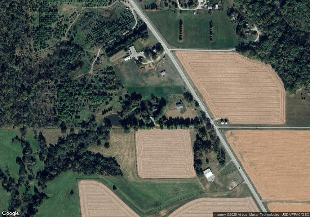
Map
Nearby Homes
- 15592 County Road G44x
- 0000
- 14391 Buttercup Ln
- 16782 I Ave
- 0000 County Road X61
- 17138 County Road X61
- 9854 F Ave
- 10257 County Road G44x
- 9791 F Ave
- 9918 F Ave
- 9643 F Ave
- 1923 280th St
- 609 Townsend Ave
- 419 Van Buren St
- 717 Franklin St
- 404 Jefferson St
- 327 S 2nd St
- Linden Drive
- 4005 Concord Ln
- 4008 Concord Ln
- 13881 I Ave
- 13988 I Ave
- 13882 I Ave
- 13606 I Ave
- 12786 148th St
- 14259 I Ave
- 14262 I Ave
- 13482 I Ave
- 14385 I Ave
- 14457 124th Ave
- 13060 130th St
- 14453 124th Ave
- 12753 130th St
- 13052 130th St
- 14828 124th Ave
- 14436 124th Ave
- 14654 124th Ave
- 12202 130th St
- 0 148th St Farm #2 Unit 5478000
- 0 148th St Farm #2 Unit 13-962