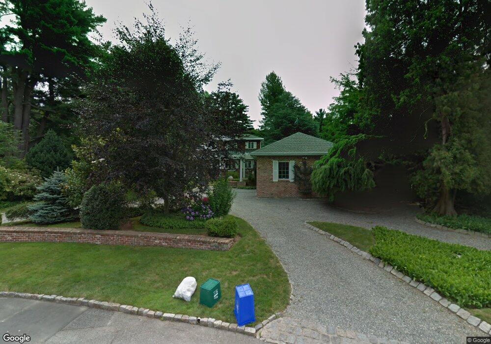
137 Applegate Rd Cranston, RI 02920
Meshanticut NeighborhoodEstimated Value: $904,000 - $982,845
3
Beds
3
Baths
2,316
Sq Ft
$407/Sq Ft
Est. Value
About This Home
This home is located at 137 Applegate Rd, Cranston, RI 02920 and is currently estimated at $942,211, approximately $406 per square foot. 137 Applegate Rd is a home located in Providence County with nearby schools including Glen Hills School, Western Hills Middle School, and Cranston High School West.
Ownership History
Date
Name
Owned For
Owner Type
Purchase Details
Closed on
Jan 27, 1999
Sold by
Ouhrabka Alexander
Bought by
Scola Doreen
Current Estimated Value
Home Financials for this Owner
Home Financials are based on the most recent Mortgage that was taken out on this home.
Original Mortgage
$125,000
Interest Rate
6.67%
Mortgage Type
Purchase Money Mortgage
Create a Home Valuation Report for This Property
The Home Valuation Report is an in-depth analysis detailing your home's value as well as a comparison with similar homes in the area
Home Values in the Area
Average Home Value in this Area
Purchase History
| Date | Buyer | Sale Price | Title Company |
|---|---|---|---|
| Scola Doreen | $200,000 | -- |
Source: Public Records
Mortgage History
| Date | Status | Borrower | Loan Amount |
|---|---|---|---|
| Open | Scola Doreen | $347,533 | |
| Closed | Scola Doreen | $350,000 | |
| Closed | Scola Doreen | $120,017 | |
| Closed | Scola Doreen | $125,000 |
Source: Public Records
Tax History
| Year | Tax Paid | Tax Assessment Tax Assessment Total Assessment is a certain percentage of the fair market value that is determined by local assessors to be the total taxable value of land and additions on the property. | Land | Improvement |
|---|---|---|---|---|
| 2025 | $11,508 | $829,100 | $173,100 | $656,000 |
| 2024 | $11,284 | $829,100 | $173,100 | $656,000 |
| 2023 | $11,009 | $582,500 | $119,300 | $463,200 |
| 2022 | $10,782 | $582,500 | $119,300 | $463,200 |
| 2021 | $10,485 | $582,500 | $119,300 | $463,200 |
| 2020 | $10,464 | $503,800 | $132,100 | $371,700 |
| 2019 | $10,464 | $503,800 | $132,100 | $371,700 |
| 2018 | $10,222 | $503,800 | $132,100 | $371,700 |
| 2017 | $10,894 | $474,900 | $132,100 | $342,800 |
| 2016 | $10,662 | $474,900 | $132,100 | $342,800 |
| 2015 | $10,662 | $474,900 | $132,100 | $342,800 |
| 2014 | $9,789 | $428,600 | $127,800 | $300,800 |
Source: Public Records
Map
Nearby Homes
- 242 Brettonwoods Dr
- 51 E Bel Air Rd
- 12 Coldbrook Ct
- 203 Dean Ridge Ct
- 210 Summit Dr
- 7 Oak Tree Ln
- 105 Coldbrook Dr
- 141 Glen Ridge Rd
- 135 Meshanticut Valley Pkwy
- 9 Williston St
- 175 Hoffman Ave Unit 102
- 217 Belvedere Dr
- 29 Poppy Dr
- 58 Meredith Dr
- 1000 Chapel View Blvd Unit 312
- 55 Cypress Dr
- 140 Lake View Rd
- 157 Sweetbriar Dr
- 80 W View Ave
- 69 W View Ave
- 131 Applegate Rd
- 61 E Hill Dr
- 73 E Hill Dr
- 133 Tupelo Hill Dr
- 150 Applegate Rd
- 51 E Hill Dr
- 124 Applegate Rd
- 83 E Hill Dr
- 115 Applegate Rd
- 119 Tupelo Hill Dr
- 66 E Hill Dr
- 15 White Oak Ln
- 50 E Hill Dr
- 80 E Hill Dr
- 91 E Hill Dr
- 154 E Hill Dr
- 136 Tupelo Hill Dr
- 39 E Hill Dr
- 1 White Birch Rd
- 101 Tupelo Hill Dr
Your Personal Tour Guide
Ask me questions while you tour the home.