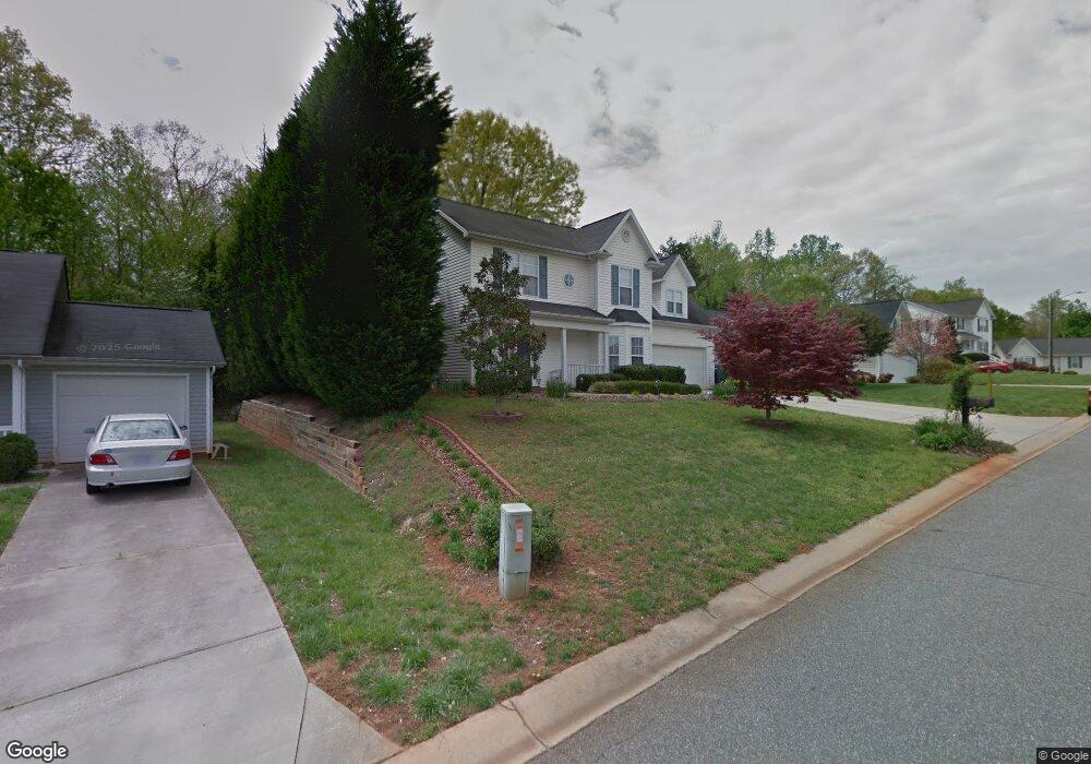
137 Arbor Ridge Rd Mount Holly, NC 28120
Estimated Value: $326,000 - $364,000
3
Beds
2
Baths
1,888
Sq Ft
$187/Sq Ft
Est. Value
About This Home
This home is located at 137 Arbor Ridge Rd, Mount Holly, NC 28120 and is currently estimated at $352,197, approximately $186 per square foot. 137 Arbor Ridge Rd is a home located in Gaston County with nearby schools including Pinewood Elementary School, Mount Holly Middle School, and Stuart W. Cramer High School.
Ownership History
Date
Name
Owned For
Owner Type
Purchase Details
Closed on
Sep 15, 2000
Sold by
Shugart Enterprises Llc
Bought by
Koone David Blanton and Koone Dawn S
Current Estimated Value
Home Financials for this Owner
Home Financials are based on the most recent Mortgage that was taken out on this home.
Original Mortgage
$131,340
Outstanding Balance
$47,258
Interest Rate
7.92%
Mortgage Type
FHA
Estimated Equity
$304,939
Create a Home Valuation Report for This Property
The Home Valuation Report is an in-depth analysis detailing your home's value as well as a comparison with similar homes in the area
Home Values in the Area
Average Home Value in this Area
Purchase History
| Date | Buyer | Sale Price | Title Company |
|---|---|---|---|
| Koone David Blanton | $132,500 | -- |
Source: Public Records
Mortgage History
| Date | Status | Borrower | Loan Amount |
|---|---|---|---|
| Open | Koone David Blanton | $131,340 |
Source: Public Records
Tax History Compared to Growth
Tax History
| Year | Tax Paid | Tax Assessment Tax Assessment Total Assessment is a certain percentage of the fair market value that is determined by local assessors to be the total taxable value of land and additions on the property. | Land | Improvement |
|---|---|---|---|---|
| 2025 | $2,931 | $291,950 | $29,000 | $262,950 |
| 2024 | $2,931 | $291,950 | $29,000 | $262,950 |
| 2023 | $2,963 | $291,950 | $29,000 | $262,950 |
| 2022 | $2,382 | $183,910 | $22,000 | $161,910 |
| 2021 | $2,418 | $183,910 | $22,000 | $161,910 |
| 2019 | $2,437 | $183,910 | $22,000 | $161,910 |
| 2018 | $1,664 | $118,843 | $19,200 | $99,643 |
| 2017 | $1,664 | $118,843 | $19,200 | $99,643 |
| 2016 | $1,034 | $118,843 | $0 | $0 |
| 2014 | $1,265 | $145,421 | $28,000 | $117,421 |
Source: Public Records
Map
Nearby Homes
- 121 Woodbridge Cir
- 137 Woodbridge Cir
- 1601 N Main St
- 1604 N Main St
- 735 Morningside Dr
- 160 Brookstone Dr
- 728 Morningside Dr
- 607 Morningside Dr
- 112 Julia St
- 1029 Old Nc 27 Hwy
- 1115 N Main St
- Winslow Plan at Mooreland Oaks
- Huntley Plan at Mooreland Oaks
- Declan Plan at Mooreland Oaks
- Jasper Plan at Mooreland Oaks
- Devin Plan at Mooreland Oaks
- Montcrest Plan at Mooreland Oaks
- Riley Plan at Mooreland Oaks
- Ava Plan at Mooreland Oaks
- TA4000 Plan at Mooreland Oaks
- 133 Arbor Ridge Rd
- 141 Arbor Ridge Rd
- 145 Arbor Ridge Rd
- 129 Arbor Ridge Rd
- 124 Arbor Ridge Rd
- 128 Arbor Ridge Rd
- 120 Arbor Ridge Rd
- 132 Arbor Ridge Rd
- 149 Arbor Ridge Rd
- 125 Arbor Ridge Rd
- 116 Arbor Ridge Rd
- 136 Arbor Ridge Rd
- 209 Arbor Ridge Ct
- 213 Arbor Ridge Ct
- 205 Arbor Ridge Ct
- 217 Arbor Ridge Ct
- 121 Arbor Ridge Rd
- 221 Arbor Ridge Ct
- 112 Arbor Ridge Rd
- 153 Arbor Ridge Rd