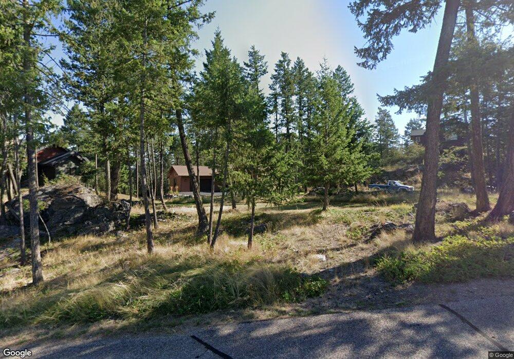
137 Bjork Dr Unit (Lot 69 Eb) Big Fork, MT 59911
Estimated Value: $990,000 - $1,550,000
3
Beds
2
Baths
2,143
Sq Ft
$578/Sq Ft
Est. Value
About This Home
This home is located at 137 Bjork Dr Unit (Lot 69 Eb), Big Fork, MT 59911 and is currently estimated at $1,238,820, approximately $578 per square foot. 137 Bjork Dr Unit (Lot 69 Eb) is a home located in Flathead County with nearby schools including Bigfork Elementary School, Bigfork Middle School, and Bigfork High School.
Ownership History
Date
Name
Owned For
Owner Type
Purchase Details
Closed on
Aug 6, 2020
Sold by
Mclaughlin Jack D
Bought by
Esse Jamie L and Esse James A
Current Estimated Value
Home Financials for this Owner
Home Financials are based on the most recent Mortgage that was taken out on this home.
Original Mortgage
$57,000
Outstanding Balance
$50,656
Interest Rate
3.1%
Mortgage Type
Commercial
Estimated Equity
$1,188,164
Create a Home Valuation Report for This Property
The Home Valuation Report is an in-depth analysis detailing your home's value as well as a comparison with similar homes in the area
Home Values in the Area
Average Home Value in this Area
Purchase History
| Date | Buyer | Sale Price | Title Company |
|---|---|---|---|
| Esse Jamie L | -- | Insured Title |
Source: Public Records
Mortgage History
| Date | Status | Borrower | Loan Amount |
|---|---|---|---|
| Open | Esse Jamie L | $57,000 |
Source: Public Records
Tax History Compared to Growth
Tax History
| Year | Tax Paid | Tax Assessment Tax Assessment Total Assessment is a certain percentage of the fair market value that is determined by local assessors to be the total taxable value of land and additions on the property. | Land | Improvement |
|---|---|---|---|---|
| 2025 | $5,050 | $1,235,300 | $0 | $0 |
| 2024 | $5,139 | $920,800 | $0 | $0 |
| 2023 | $1,218 | $222,866 | $0 | $0 |
| 2022 | $1,129 | $147,672 | $0 | $0 |
| 2021 | $1,161 | $147,672 | $0 | $0 |
| 2020 | $1,068 | $135,424 | $0 | $0 |
| 2019 | $1,028 | $135,424 | $0 | $0 |
| 2018 | $1,055 | $132,370 | $0 | $0 |
| 2017 | $1,032 | $132,370 | $0 | $0 |
| 2016 | $1,128 | $146,118 | $0 | $0 |
| 2015 | $1,058 | $146,118 | $0 | $0 |
| 2014 | $1,495 | $124,277 | $0 | $0 |
Source: Public Records
Map
Nearby Homes
- 147 Bjork Dr
- 137 & 133 Eagle Bend Dr
- 151 Bjork Dr
- 175 Aerie Place
- 266 Eagle Bend Dr
- 260 Eagle Bend Dr
- 94 Golf Terrace
- 85 Golf Terrace
- 1001 Lake Pointe Dr
- 73 Golf Terrace
- 1193 Whispering Rock Rd
- 1066 Lake Pointe Dr
- 39 Golf Terrace Unit 5
- 44 Rock Ridge Way
- 1114 Lake Pointe Dr
- 1347 Lake Pointe Dr
- NHN Eagle Bend Dr
- 201 Bridger Dr
- 116 Golden Bear Dr
- 112 Golden Bear Dr
- 137 Bjork Dr
- 141 Bjork Dr
- 133 Bjork Dr
- NHN Bjork Dr
- 51 Bjork Dr
- 165 Bjork Dr
- Trac D 108 Bjork Dr
- 129 Bjork Dr
- 129 Eagle Bend Inlet
- 145 Eagle Bend Dr
- 132 Bjork Dr
- 137 Eagle Bend Dr
- 51 Rock Cliff Place
- 192 Aerie Place
- 40 Rock Cliff Place
- 171 Eagle Bend Dr
- 171 Eagle Bend Dr
- 171A Eagle Bend Dr
- 171A Eagle Bend Dr
- 188 Aerie Place