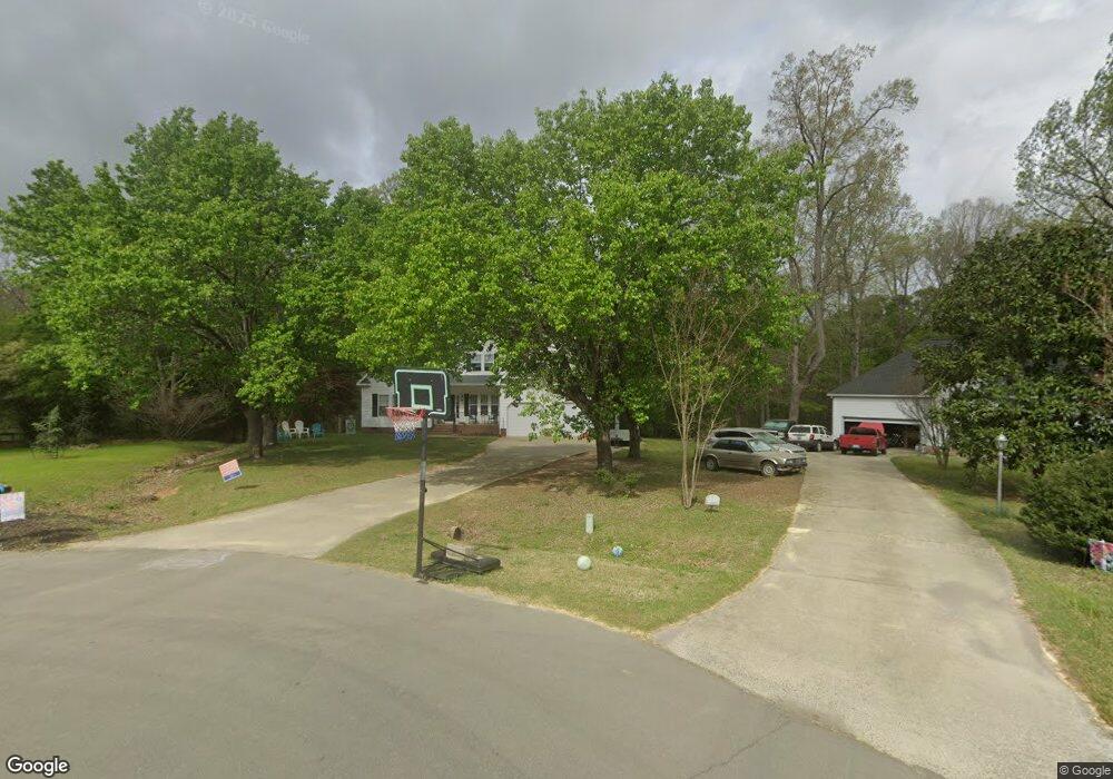
137 Bobby Dr Garner, NC 27529
Estimated Value: $428,000 - $473,000
3
Beds
3
Baths
2,370
Sq Ft
$189/Sq Ft
Est. Value
About This Home
This home is located at 137 Bobby Dr, Garner, NC 27529 and is currently estimated at $447,420, approximately $188 per square foot. 137 Bobby Dr is a home located in Johnston County with nearby schools including Cleveland Elementary School, Cleveland Middle School, and Cleveland High School.
Ownership History
Date
Name
Owned For
Owner Type
Purchase Details
Closed on
Mar 28, 2012
Sold by
Wilson Michael J
Bought by
Moore Michael Alan
Current Estimated Value
Purchase Details
Closed on
May 4, 2007
Sold by
Hall John P and Hall Teresa M
Bought by
Moore Michael Alan and Moore Ladonna
Home Financials for this Owner
Home Financials are based on the most recent Mortgage that was taken out on this home.
Original Mortgage
$178,800
Interest Rate
6.17%
Mortgage Type
Purchase Money Mortgage
Create a Home Valuation Report for This Property
The Home Valuation Report is an in-depth analysis detailing your home's value as well as a comparison with similar homes in the area
Home Values in the Area
Average Home Value in this Area
Purchase History
| Date | Buyer | Sale Price | Title Company |
|---|---|---|---|
| Moore Michael Alan | $218,000 | -- | |
| Moore Michael Alan | $223,500 | None Available |
Source: Public Records
Mortgage History
| Date | Status | Borrower | Loan Amount |
|---|---|---|---|
| Previous Owner | Moore Michael Alan | $178,800 |
Source: Public Records
Tax History
| Year | Tax Paid | Tax Assessment Tax Assessment Total Assessment is a certain percentage of the fair market value that is determined by local assessors to be the total taxable value of land and additions on the property. | Land | Improvement |
|---|---|---|---|---|
| 2025 | $2,688 | $423,350 | $100,000 | $323,350 |
| 2024 | $2,135 | $263,520 | $55,000 | $208,520 |
| 2023 | $2,062 | $263,520 | $55,000 | $208,520 |
| 2022 | $2,167 | $263,520 | $55,000 | $208,520 |
| 2021 | $2,167 | $263,520 | $55,000 | $208,520 |
| 2020 | $2,194 | $263,520 | $55,000 | $208,520 |
| 2019 | $2,216 | $263,520 | $55,000 | $208,520 |
| 2018 | $1,719 | $198,650 | $35,670 | $162,980 |
| 2017 | $1,693 | $198,650 | $35,670 | $162,980 |
| 2016 | $1,693 | $198,650 | $35,670 | $162,980 |
| 2015 | $1,693 | $198,650 | $35,670 | $162,980 |
| 2014 | $1,693 | $198,650 | $35,670 | $162,980 |
Source: Public Records
Map
Nearby Homes
- 8208 Dianne Cir
- 2053 Sherry Lynne Dr
- 19 Grassland Dr
- 312 Long Needle Dr
- 27 Grassland Dr
- 309 Ford Meadows Dr
- 27 Steppe Way
- 243 Ford Meadows Dr
- 150 Steppe Way
- 143 Steppe Way
- 2004 Spring Valley Dr
- 106 Gatwick Ct
- 107 Walford Park
- 120 Blackthorne Ct
- 65 Topsail Island Dr
- 0 Government Rd Unit 2434558
- 6109 Veterans Pkwy
- 10666 Cleveland Rd
- 11138 Cleveland Rd
- 36 Peninsula Ct
Your Personal Tour Guide
Ask me questions while you tour the home.