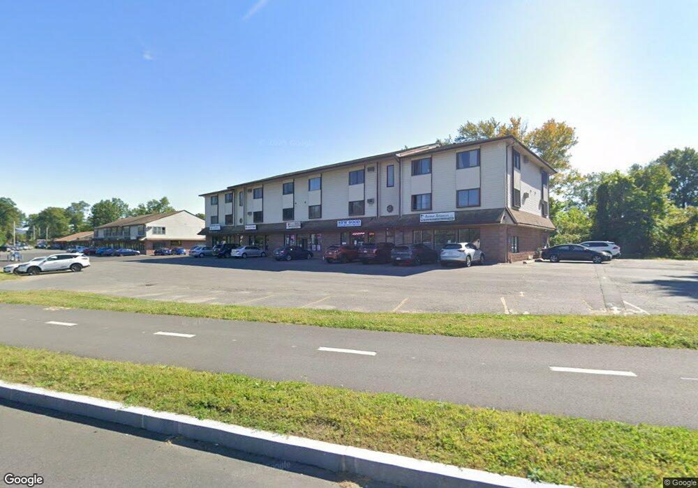
137 Damon Rd Northampton, MA 01060
Estimated Value: $7,919,229
--
Bed
1
Bath
--
Sq Ft
3.02
Acres
About This Home
This home is located at 137 Damon Rd, Northampton, MA 01060 and is currently estimated at $7,919,229. 137 Damon Rd is a home located in Hampshire County with nearby schools including Northampton High School.
Ownership History
Date
Name
Owned For
Owner Type
Purchase Details
Closed on
Dec 5, 2013
Sold by
Boyle Richard R
Bought by
Easthamton Mahadev Llc
Current Estimated Value
Home Financials for this Owner
Home Financials are based on the most recent Mortgage that was taken out on this home.
Original Mortgage
$3,020,000
Outstanding Balance
$2,253,676
Interest Rate
4.17%
Mortgage Type
Commercial
Estimated Equity
$5,665,553
Create a Home Valuation Report for This Property
The Home Valuation Report is an in-depth analysis detailing your home's value as well as a comparison with similar homes in the area
Home Values in the Area
Average Home Value in this Area
Purchase History
| Date | Buyer | Sale Price | Title Company |
|---|---|---|---|
| Easthamton Mahadev Llc | $3,780,000 | -- |
Source: Public Records
Mortgage History
| Date | Status | Borrower | Loan Amount |
|---|---|---|---|
| Open | Easthamton Mahadev Llc | $3,020,000 | |
| Closed | Easthamton Mahadev Llc | $400,000 |
Source: Public Records
Tax History Compared to Growth
Tax History
| Year | Tax Paid | Tax Assessment Tax Assessment Total Assessment is a certain percentage of the fair market value that is determined by local assessors to be the total taxable value of land and additions on the property. | Land | Improvement |
|---|---|---|---|---|
| 2025 | $65,506 | $4,702,500 | $1,141,200 | $3,561,300 |
| 2024 | $63,880 | $4,205,400 | $1,141,200 | $3,064,200 |
| 2023 | $68,850 | $4,346,600 | $1,141,200 | $3,205,400 |
| 2022 | $70,966 | $3,966,800 | $1,108,000 | $2,858,800 |
| 2021 | $69,841 | $4,020,800 | $1,108,000 | $2,912,800 |
| 2020 | $67,549 | $4,020,800 | $1,108,000 | $2,912,800 |
| 2019 | $65,843 | $3,790,600 | $1,055,200 | $2,735,400 |
| 2018 | $64,592 | $3,790,600 | $1,055,220 | $2,735,380 |
| 2017 | $60,985 | $3,654,000 | $1,055,220 | $2,598,780 |
| 2016 | $59,049 | $3,654,000 | $1,055,220 | $2,598,780 |
| 2015 | $58,422 | $3,697,600 | $1,055,220 | $2,642,380 |
| 2014 | $56,013 | $3,639,600 | $1,055,220 | $2,584,380 |
Source: Public Records
Map
Nearby Homes
- 74 Barrett St Unit 105
- 59 Day Ave
- 76 Cooke Ave
- 8 View Ave Unit A
- 8 View Ave Unit B
- 4 Gleason Rd
- 13 1/2 Finn St
- 5 Prospect Ct
- 41 Old Ferry Rd
- 37 Finn St
- 16 Taylor St
- 215 State St
- 50 Walnut St
- 103 Massasoit St
- 76 Crescent St Unit 2
- 51 1/2 Hatfield St Unit 6
- 9 Walnut St Unit B
- 30 Cherry St
- 30 Cherry St Unit A
- 30 Cherry St Unit B
- 137 Damon Rd
- 137 Damon Rd Unit C2
- 137 Damon Rd Unit B
- 137 Damon Rd Unit B
- 137 Damon Rd Unit A
- 139A Damon Rd
- 139 Damon Rd Unit A-D-E-F
- 104 Damon Rd Unit 2
- 104 Damon Rd Unit 1
- 104 Damon Rd Unit C
- 141 G/H Damon Rd
- 141 Damon Rd Unit 141B
- 141 Damon Rd Unit B
- 141 Damon Rd Unit F
- 141 Damon Rd Unit E
- 141 Damon Rd Unit D
- 141 Damon Rd Unit C
- 55 Damon Rd Unit 2
- 55 Damon Rd
- 2208 Damon Rd Unit 2208