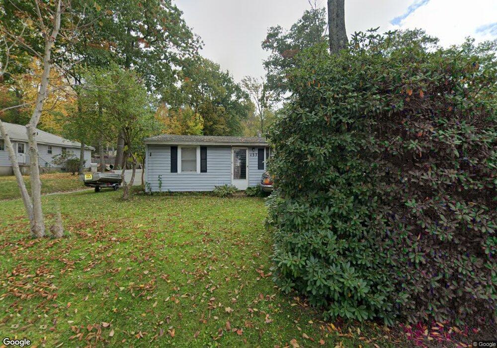
137 E Wakefield Blvd Winsted, CT 06098
Estimated Value: $192,000 - $312,000
3
Beds
1
Bath
864
Sq Ft
$282/Sq Ft
Est. Value
About This Home
This home is located at 137 E Wakefield Blvd, Winsted, CT 06098 and is currently estimated at $244,030, approximately $282 per square foot. 137 E Wakefield Blvd is a home located in Litchfield County with nearby schools including Pearson School, Explorations Charter School, and St Anthony School.
Ownership History
Date
Name
Owned For
Owner Type
Purchase Details
Closed on
Jan 16, 1990
Sold by
Grondin Ronald
Bought by
August Roland
Current Estimated Value
Home Financials for this Owner
Home Financials are based on the most recent Mortgage that was taken out on this home.
Original Mortgage
$103,000
Interest Rate
9.61%
Mortgage Type
Purchase Money Mortgage
Create a Home Valuation Report for This Property
The Home Valuation Report is an in-depth analysis detailing your home's value as well as a comparison with similar homes in the area
Home Values in the Area
Average Home Value in this Area
Purchase History
| Date | Buyer | Sale Price | Title Company |
|---|---|---|---|
| August Roland | $103,000 | -- |
Source: Public Records
Mortgage History
| Date | Status | Borrower | Loan Amount |
|---|---|---|---|
| Closed | August Roland | $103,000 | |
| Previous Owner | August Roland | $27,530 |
Source: Public Records
Tax History
| Year | Tax Paid | Tax Assessment Tax Assessment Total Assessment is a certain percentage of the fair market value that is determined by local assessors to be the total taxable value of land and additions on the property. | Land | Improvement |
|---|---|---|---|---|
| 2025 | $2,375 | $81,410 | $32,060 | $49,350 |
| 2024 | $2,218 | $81,410 | $32,060 | $49,350 |
| 2023 | $2,148 | $81,410 | $32,060 | $49,350 |
| 2022 | $2,212 | $65,940 | $23,240 | $42,700 |
| 2021 | $2,212 | $65,940 | $23,240 | $42,700 |
| 2020 | $2,212 | $65,940 | $23,240 | $42,700 |
| 2019 | $9 | $65,940 | $23,240 | $42,700 |
| 2018 | $2,212 | $65,940 | $23,240 | $42,700 |
| 2017 | $2,200 | $65,590 | $23,240 | $42,350 |
| 2016 | $2,200 | $65,590 | $23,240 | $42,350 |
| 2015 | $2,145 | $65,590 | $23,240 | $42,350 |
| 2014 | $2,093 | $65,590 | $23,240 | $42,350 |
Source: Public Records
Map
Nearby Homes
- 230 E Wakefield Blvd
- 107 Birdsall St
- 124 Rockwell St
- 106 Rockwell St
- 44 Lewis St
- 48 Bridge St
- 436 Main St
- 720 Main St
- 25 Center St
- 9 John St
- 118 Meadow St
- 77 Hubbard St
- 351 Platt Hill Rd
- 843-845 (lots - 10A, E Wakefield Blvd
- 605 E Wakefield Blvd
- 99 Hubbard St
- 94 Holabird Ave
- 55 Walnut St
- 57 Main St
- 39 S Main St
- 135 E Wakefield Blvd
- 133 E Wakefield Blvd
- 102 Ann St
- 136 E Wakefield Blvd
- 139 E Wakefield Blvd
- 134 E Wakefield Blvd
- 138 E Wakefield Blvd
- 104 Ann St
- 130 E Wakefield Blvd
- 131 E Wakefield Blvd
- 165 Wilcox Ave
- 128 E Wakefield Blvd
- 141 E Wakefield Blvd
- 143 E Wakefield Blvd
- 103 Shore Dr
- 166 Shore Dr
- 164 Wilcox Ave
- 124 Carey Ave
- 161 Wilcox Ave
- 128 Shore Dr
Your Personal Tour Guide
Ask me questions while you tour the home.