137 Eagle Dr Unit Seeley Lake Seeley Lake, MT 59868
Seeley Lake NeighborhoodEstimated Value: $444,855 - $606,000
3
Beds
2
Baths
2,018
Sq Ft
$254/Sq Ft
Est. Value
About This Home
This home is located at 137 Eagle Dr Unit Seeley Lake, Seeley Lake, MT 59868 and is currently estimated at $512,964, approximately $254 per square foot. 137 Eagle Dr Unit Seeley Lake is a home located in Missoula County with nearby schools including Seeley Lake Elementary School, Seeley Lake Junior High School, and Seeley-Swan High School.
Ownership History
Date
Name
Owned For
Owner Type
Purchase Details
Closed on
Mar 15, 2016
Sold by
Sandor Margaret S
Bought by
Sandor Margaret S and Sandor Melvin Mark
Current Estimated Value
Purchase Details
Closed on
Mar 14, 2016
Sold by
Sandor Bearcat M
Bought by
Sandor Margaret S
Purchase Details
Closed on
Aug 7, 2013
Sold by
Klein Peter D
Bought by
Sandor Bearcat M
Purchase Details
Closed on
May 30, 2013
Sold by
Carter Larry T and Carter Penny D
Bought by
Klein Peter D
Create a Home Valuation Report for This Property
The Home Valuation Report is an in-depth analysis detailing your home's value as well as a comparison with similar homes in the area
Home Values in the Area
Average Home Value in this Area
Purchase History
| Date | Buyer | Sale Price | Title Company |
|---|---|---|---|
| Sandor Margaret S | -- | None Available | |
| Sandor Margaret S | -- | None Available | |
| Sandor Bearcat M | -- | First American Title Company | |
| Klein Peter D | -- | First American Title Company |
Source: Public Records
Tax History Compared to Growth
Tax History
| Year | Tax Paid | Tax Assessment Tax Assessment Total Assessment is a certain percentage of the fair market value that is determined by local assessors to be the total taxable value of land and additions on the property. | Land | Improvement |
|---|---|---|---|---|
| 2025 | $710 | $444,600 | $117,115 | $327,485 |
| 2024 | $2,648 | $339,000 | $64,182 | $274,818 |
| 2023 | $2,501 | $339,000 | $64,182 | $274,818 |
| 2022 | $2,079 | $231,800 | $0 | $0 |
| 2021 | $1,824 | $231,800 | $0 | $0 |
| 2020 | $1,793 | $198,200 | $0 | $0 |
| 2019 | $1,785 | $198,200 | $0 | $0 |
| 2018 | $1,790 | $195,600 | $0 | $0 |
| 2017 | $1,804 | $195,600 | $0 | $0 |
| 2016 | $1,785 | $199,900 | $0 | $0 |
| 2015 | $1,748 | $199,900 | $0 | $0 |
| 2014 | $1,859 | $117,872 | $0 | $0 |
Source: Public Records
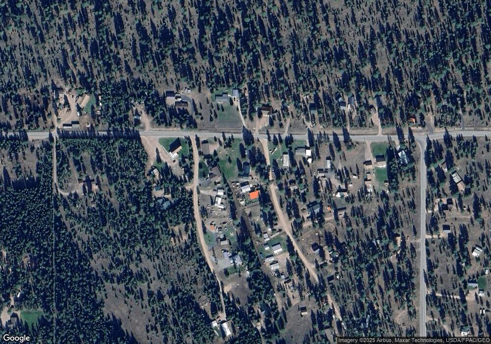
Map
Nearby Homes
- 121 Gull Port
- 645 Morrell Creek Dr
- 261 Locust Ln
- 1080 Willow Dr
- 152 Chipmonk Ct
- 975 Whitetail Dr
- NHN Pine Dr
- 307 Seclusion Point
- 285 Morrell Creek Dr
- NHN Crawfish Ct
- 289 Seclusion Point
- 264 Evergreen Dr
- 980 Pine Dr
- 3184 Mt-83
- 322 Rainbow Ct
- 231 Buckskin Dr
- 1016 Grandview Dr
- 378 Bobcat Ln
- 408 Montana View Dr
- 1148 Double Arrow Rd
- 137 Eagle Dr
- 155 Eagle Dr
- 146 Deerpark Dr
- 170 Deerpark Dr
- 150 Eagle Dr
- 189 Eagle Dr
- LOT 13 Eagle Dr
- Lot 6 Eagle Dr
- Lot 2 Airport Rd
- Nhn Deer Park Dr
- 220 Deerpark Dr
- 1920 Airport Rd
- 1655 Airport Rd
- 1868 Airport Rd
- 1630 Airport Rd
- 1966 Airport Rd
- 305 Deerpark Dr
- 272 Deerpark Dr
- 165 Deerpark Dr
- 2010 Airport Rd