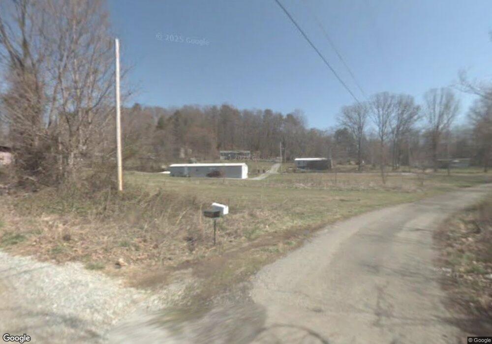
137 Everett Copp Rd Chuckey, TN 37641
Estimated Value: $185,580 - $256,000
Studio
--
Bath
1,248
Sq Ft
$168/Sq Ft
Est. Value
About This Home
This home is located at 137 Everett Copp Rd, Chuckey, TN 37641 and is currently estimated at $210,145, approximately $168 per square foot. 137 Everett Copp Rd is a home with nearby schools including South Central Elementary School and David Crockett High School.
Ownership History
Date
Name
Owned For
Owner Type
Purchase Details
Closed on
Sep 26, 1996
Bought by
Chapman Jamie L
Current Estimated Value
Purchase Details
Closed on
Aug 19, 1992
Bought by
Lamb Timothy M and Lamb Teresa
Purchase Details
Closed on
May 24, 1990
Bought by
Dunbar Milissa Jill
Purchase Details
Closed on
Nov 27, 1989
Bought by
Leader Federal Savings & Loan Assoc Of Memphi
Create a Home Valuation Report for This Property
The Home Valuation Report is an in-depth analysis detailing your home's value as well as a comparison with similar homes in the area
Purchase History
| Date | Buyer | Sale Price | Title Company |
|---|---|---|---|
| Chapman Jamie L | $17,000 | -- | |
| Lamb Timothy M | $14,400 | -- | |
| Dunbar Milissa Jill | $17,000 | -- | |
| Leader Federal Savings & Loan Assoc Of Memphi | $20,000 | -- |
Source: Public Records
Tax History
| Year | Tax Paid | Tax Assessment Tax Assessment Total Assessment is a certain percentage of the fair market value that is determined by local assessors to be the total taxable value of land and additions on the property. | Land | Improvement |
|---|---|---|---|---|
| 2025 | $486 | $28,400 | $7,850 | $20,550 |
| 2024 | $486 | $28,400 | $7,850 | $20,550 |
| 2022 | $395 | $18,375 | $4,775 | $13,600 |
| 2021 | $395 | $18,375 | $4,775 | $13,600 |
| 2020 | $395 | $18,375 | $4,775 | $13,600 |
| 2019 | $339 | $18,375 | $4,775 | $13,600 |
| 2018 | $339 | $14,250 | $4,775 | $9,475 |
| 2017 | $339 | $14,250 | $4,775 | $9,475 |
| 2016 | $339 | $14,250 | $4,775 | $9,475 |
| 2015 | $282 | $14,250 | $4,775 | $9,475 |
| 2014 | $282 | $14,250 | $4,775 | $9,475 |
Source: Public Records
Map
Nearby Homes
- 2851 Tennessee 107
- 103 Lilly Painter Rd
- Tbd Honeysuckle Ln
- 186 Liberty Hill Rd
- 290 Bill Mauk Rd
- 131 Brown Dr
- 289 Bill Mauk Rd
- 1320 Corby Bridge Rd
- 114 Paul Mathes Rd
- 0 Pleasant Hill Rd
- 39.26 Ac Pleasant Hill Rd
- 220 Pleasant Hill Rd
- 286 Brobeck Hill Rd
- 190 Treadway Rd
- Tract 1 Painter Rd
- Tract 2 Painter Rd
- 1435 Bailey Bridge Rd
- 225 Shaw Rd
- 1385 Wilhoit Rd
- 185 Lester Snapp Rd Unit 2
- 114 Everett Copp Rd
- 108 Everett Copp Rd
- 239 Mapleswamp Rd
- 344 Dunbar Rd
- 271 Maple Swamp Rd
- 320 Dunbar Rd
- 331 Dunbar Rd
- 310 Dunbar Rd
- 117 P Jones Rd
- 323 Dunbar Rd
- 171 Mapleswamp Rd
- 237 Mapleswamp Rd
- 104 P Jones Rd
- 115 P Jones Rd
- 240 (LOT 1 Broyles Rd
- 240 W Broyles Rd
- 233 Mapleswamp Rd
- 233 Maple Swamp Rd
- 249 Maple Swamp Rd
- 242 (LOT 2 Broyles Rd