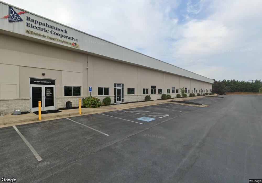
137 Kelly Ct Unit 9 Front Royal, VA 22630
Estimated Value: $6,263,031
--
Bed
--
Bath
3,000
Sq Ft
$2,088/Sq Ft
Est. Value
About This Home
This home is located at 137 Kelly Ct Unit 9, Front Royal, VA 22630 and is currently priced at $6,263,031, approximately $2,087 per square foot. 137 Kelly Ct Unit 9 is a home located in Warren County with nearby schools including Leslie Fox Keyser Elementary School and Warren County High School.
Ownership History
Date
Name
Owned For
Owner Type
Purchase Details
Closed on
Mar 2, 2023
Sold by
Rappahannock Electric Cooperative
Bought by
Commonwealth Of Virginia Department Of Transp
Current Estimated Value
Purchase Details
Closed on
Oct 30, 2009
Sold by
Jeffrey L Lehew Family Llc Iv
Bought by
Rappahannock Electric Cooperative
Create a Home Valuation Report for This Property
The Home Valuation Report is an in-depth analysis detailing your home's value as well as a comparison with similar homes in the area
Home Values in the Area
Average Home Value in this Area
Purchase History
| Date | Buyer | Sale Price | Title Company |
|---|---|---|---|
| Commonwealth Of Virginia Department Of Transp | -- | None Listed On Document | |
| Rappahannock Electric Cooperative | $3,100,000 | -- |
Source: Public Records
Tax History Compared to Growth
Tax History
| Year | Tax Paid | Tax Assessment Tax Assessment Total Assessment is a certain percentage of the fair market value that is determined by local assessors to be the total taxable value of land and additions on the property. | Land | Improvement |
|---|---|---|---|---|
| 2025 | $2,825 | $589,700 | $589,700 | $0 |
| 2024 | -- | $368,400 | $368,400 | $0 |
| 2023 | $1,805 | $368,400 | $368,400 | $0 |
| 2022 | $18,444 | $0 | $0 | $0 |
| 2021 | $0 | $0 | $0 | $0 |
| 2020 | $18,444 | $0 | $0 | $0 |
| 2019 | $18,444 | $0 | $0 | $0 |
| 2018 | $20,459 | $3,099,900 | $368,400 | $2,731,500 |
| 2017 | $20,149 | $3,099,900 | $368,400 | $2,731,500 |
| 2016 | -- | $3,099,900 | $368,400 | $2,731,500 |
| 2015 | -- | $3,099,900 | $368,400 | $2,731,500 |
| 2014 | -- | $3,104,100 | $368,400 | $2,735,700 |
Source: Public Records
Map
Nearby Homes
- 167 Cedar Park Ct
- 8+/- Acres Winchester Rd
- 215 Harris Dr
- 836 Bennys Beach Rd
- 106 Divot Ct
- 115 Reliance Woods Dr
- 0 Cherrywood Rd
- 89 Pin Oak Rd
- 0 Pin Oak Rd Unit VAWR2006146
- 1857 Marys Shady Ln
- 2479 Rockland Rd
- 1408 Winchester Pike
- 225 Sugar Maple Rd
- 31 W Duck St
- 43 W Duck St
- 45 W Duck St
- 1302 Winchester Pike
- 0 Riverview Shores Dr Unit VAWR2012118
- 204 E 17th St
- 1275 Valley View Dr
- 137 Kelly Ct
- 138 Kelly Ct
- 176 Kelly Dr
- 280 Kelly Dr
- 8867 Winchester Rd
- 150 Kelly Dr
- 399 Kelly Dr
- 40 Digital Plaza
- 477 Kelly Dr
- 167 Kelly Dr
- 8897 Winchester Rd
- 8561 Winchester Rd
- 400 Rockland Rd
- 166 Cedar Park Ct
- 408 Rockland Rd
- 26 Kelly Dr
- 701 Country Club Rd
- 139 Rockland Ct
- 200 Rockland Rd
- 430 Rockland Rd