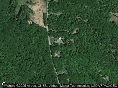
137 Mt Tom Rd Smithfield, ME 04978
Estimated Value: $241,000 - $372,000
3
Beds
2
Baths
1,352
Sq Ft
$217/Sq Ft
Est. Value
About This Home
This home is located at 137 Mt Tom Rd, Smithfield, ME 04978 and is currently estimated at $293,569, approximately $217 per square foot. 137 Mt Tom Rd is a home.
Create a Home Valuation Report for This Property
The Home Valuation Report is an in-depth analysis detailing your home's value as well as a comparison with similar homes in the area
Home Values in the Area
Average Home Value in this Area
Tax History Compared to Growth
Tax History
| Year | Tax Paid | Tax Assessment Tax Assessment Total Assessment is a certain percentage of the fair market value that is determined by local assessors to be the total taxable value of land and additions on the property. | Land | Improvement |
|---|---|---|---|---|
| 2024 | $2,527 | $180,500 | $63,600 | $116,900 |
| 2023 | $2,058 | $122,500 | $43,100 | $79,400 |
| 2022 | $2,058 | $122,500 | $43,100 | $79,400 |
| 2021 | $2,046 | $122,500 | $43,100 | $79,400 |
| 2020 | $2,046 | $122,500 | $43,100 | $79,400 |
| 2019 | $2,046 | $122,500 | $43,100 | $79,400 |
| 2018 | $2,021 | $122,500 | $43,100 | $79,400 |
| 2017 | $2,083 | $122,500 | $43,100 | $79,400 |
| 2016 | $2,083 | $122,500 | $43,100 | $79,400 |
| 2015 | $2,034 | $122,500 | $43,100 | $79,400 |
| 2013 | $1,819 | $122,500 | $43,100 | $79,400 |
Source: Public Records
Map
Nearby Homes
- 162 Lake View Dr
- M19 L5 Village Rd
- 17 Groves Flat Ln
- 600 Village Rd
- 339 Oak Hill Rd
- 27 Old Robinson Rd
- Lot 12-4 Mcnulty Ln
- 55 Monica Ridge
- 901 Mercer Rd
- Map 1 L 3 Village Road and Rome Rd
- 18 Wedgewood Dr
- 64 Hillside Ln
- 00 U S Highway 2
- 157 Crystal Spring Ln Unit 16
- 101 Mercer Rd
- 21 Hatto Farm Rd
- M28 L6-2-1 Gilman Dr
- 63 Main St
- 13 Kevin Blvd
- 7 Old Schoolhouse Rd